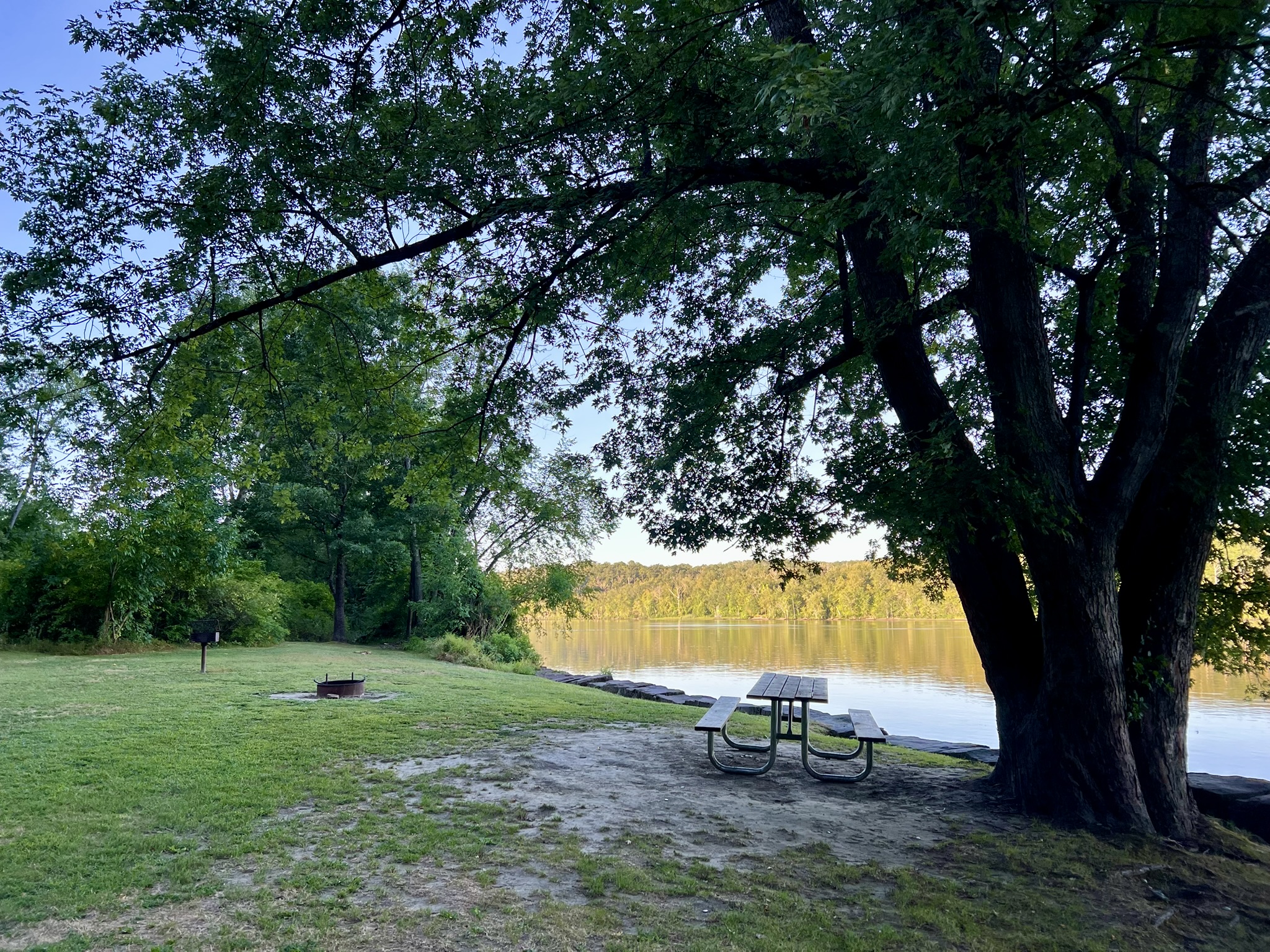
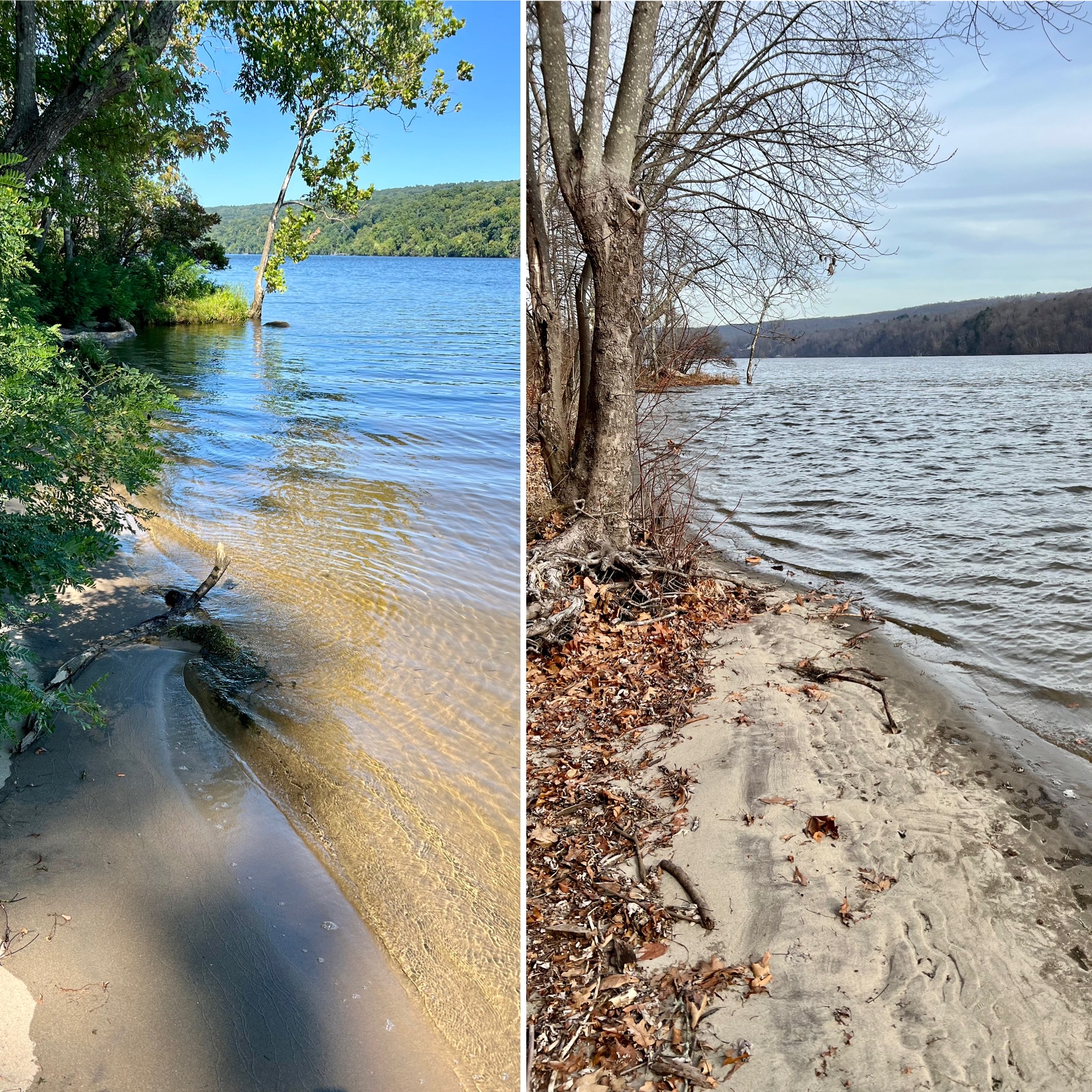
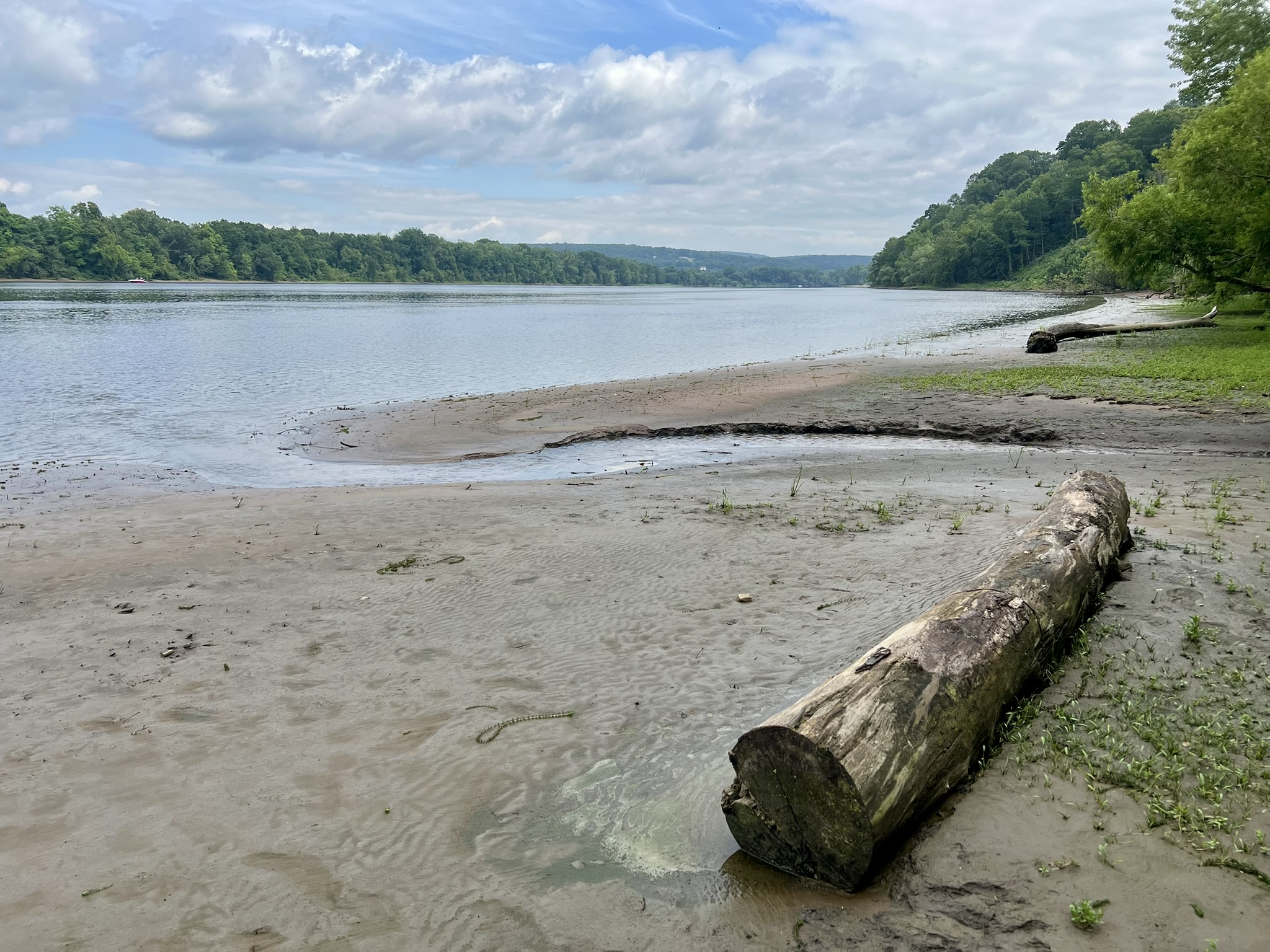
Along the riverbank at Hurd State Park
Sailing up the Connecticut River one evening in June I pondered the changing landscape while listening to sea shanties sung by the musical duo Littlefield and Mournealt. I was aboard Onrust, the Connecticut River Museum’s replica of Adriaen Block’s ship. Block was a Dutch explorer and is credited with being the first European to sail the waters of the Connecticut River, heading as far north as present day Hartford on an exploratory voyage in 1614.
NOTE: The Connecticut River Museum offers a variety of daytime and sunset cruises on both Onrust and the RiverQuest tour boat.
Check their booking calendar for all excursions.
Same-day admission to the museum was included with our ticket, so we arrived early to tour the exhibit halls and explore the history of transportation on the river. In his book “A History of the Connecticut River” Wick Griswold writes that prior to Block’s 1614 voyage “[f]or thousands of years, the river had only carried the Indians’ rafts, birch bark and dugout canoes that plied its waters laden with furs, deer meat and corn…. [Block’s voyage] was the signal moment in the history of the Connecticut River.” The rhythm of the river was irrevocably altered after the arrival of the Europeans. English settlements grew along the river where tributary streams powered sawmills, making use of the surrounding forests. Shipbuilding along the river began as early as 1648, and had its heyday between the mid 1700’s and the Civil War. Connecticut River towns participated in river trade. A museum exhibit sign explains that “beginning in the late 1600’s, wind powered vessels carried agricultural and manufactured goods as well as timber and stone to ports near and far.” While sailing vessels decreased by the mid-1800’s, they were used well into the first decades of the 20th century to transport brownstone from the Portland quarries to destinations across the Atlantic seaboard.
The decline of sailing vessels was countered by the rise of steam to power boats. The steamboat era is beautifully memorialized by Haddam resident Erik Hesselberg in his 2022 book “Night Boat to New York: Steamboats on the Connecticut River {1815 – 1931}.” This coffee table style book is replete with photographs, illustrations, reprints of newspaper articles, quotes from various celebrities such as Charles Dickens and Mark Twain, and engaging anecdotes, while telling the story of the history of steamboats on the river. Regular steamboat service began on the Connecticut River in 1824 – the same year that the Marquis de Lafayette boarded the steamboat Oliver Ellsworth in Middletown to great fanfare, his last hurrah on his Tour of Connecticut. Early on, steamboats could be very dangerous, with frequent boiler explosions. Competition between steamboat companies was fierce, especially when Cornelius Vanderbilt was in the business before turning his attention to railroads. Author T. J. Stiles brings this era to life in his 2010 biography “The First Tycoon: The Epic Life of Cornelius Vanderbilt”. Although I read it many years ago, I can still picture his descriptions of rival steamboats racing each other, vying for the fastest service, with passengers being towed behind on barges as a precaution against boiler explosions. Eventually, changes in boiler technology made them safer, but there were still frequent accidents that made the headlines, including the sad tale of the Granite State that caught fire in 1883 at Goodspeed’s Landing, the site of the Goodspeed Opera House. (William H. Goodspeed built his now famous Opera House in 1876 to provide entertainment for his steamboat passengers – he was a partner in the Hartford and New York Steamboat Company. After his death in 1883 the opera house declined and then closed, spending years as a shed for the State Department of Transportation before being revived and turned into the beloved theater it is today). According to The End of an Era William Goodspeed and the Hartford to New York Steamers by Lamar LeMonte, August, 2022, the steamer hull was towed to the entrance of North Cove in Old Saybrook in 1884 to be used as a breakwater and can still be seen at low tide. The article includes some aerial photos from different angles. Intrigued, I went to Old Saybrook one morning at low tide, parking at Saybrook Point and walking the half mile to the scenic overlook at the corner of Cromwell Place and North Cove Road. It was too far away to get a good look, butI like to think that I glimpsed the wreckage. Perhaps one day I can get a closer look in a kayak.
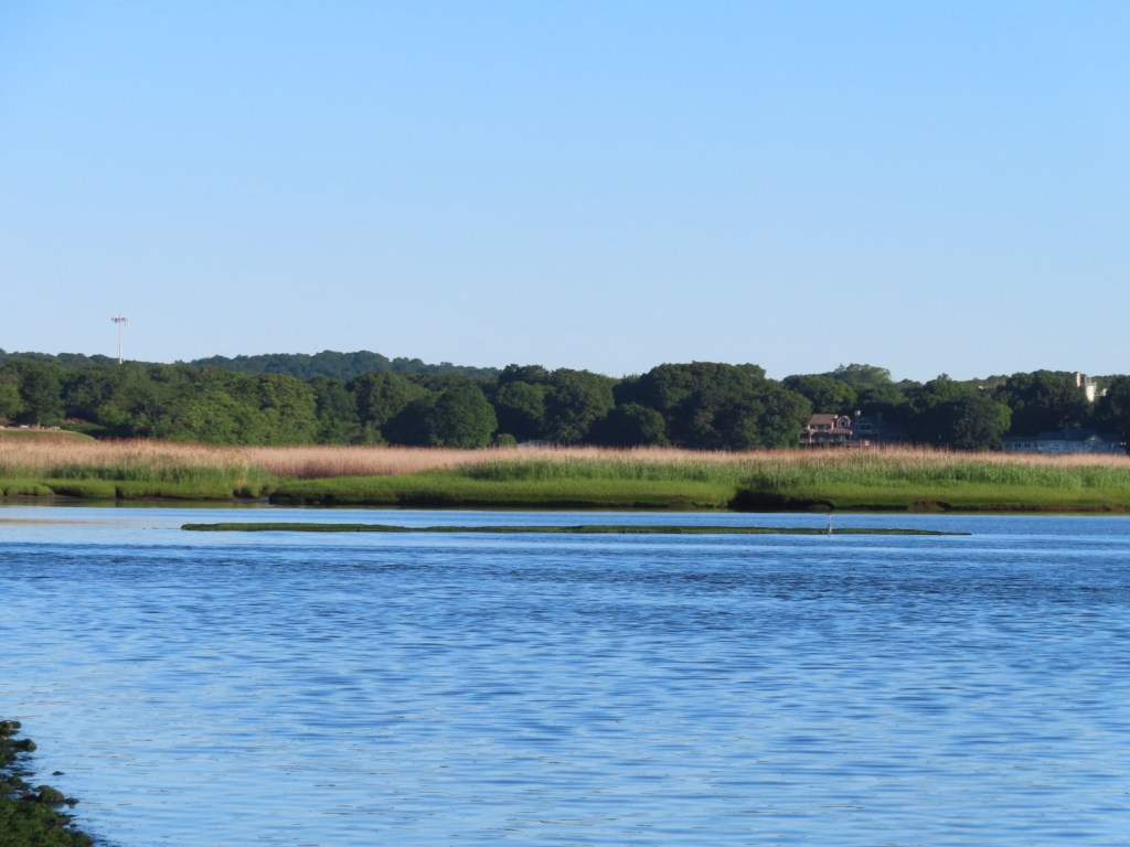
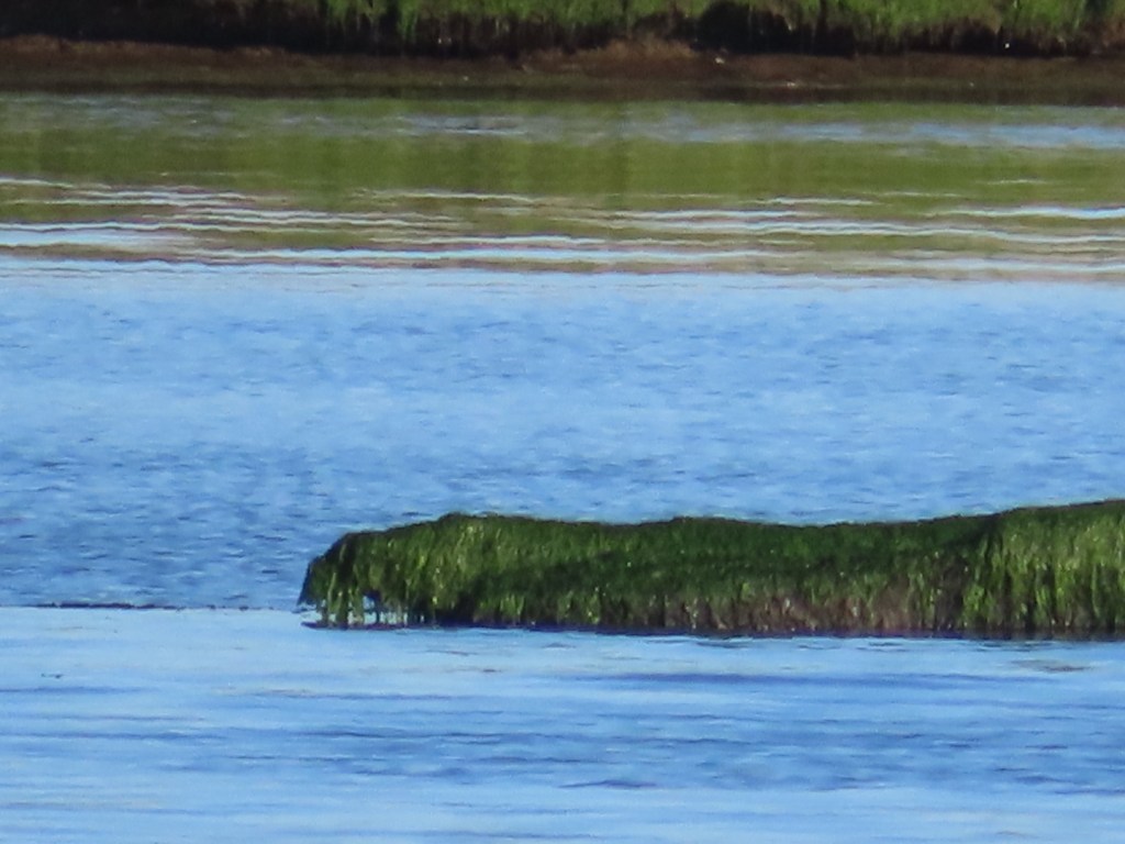
Is this what remains of the Granite State steamboat? I have no idea, but I think it is in the right location
LeMonte describes the pairing of the steamboats Granite State and City of Hartford, and how they would ”leave Hartford and New York each day at 4 PM, pass each other during the night on Long Island Sound, usually with a salutary blast from their steam whistles, and dock at Hartford at 7 AM and in New York at 5 AM. They were among the many ‘night boats’ between the cities.” These overnight boats were sleek, sidewheel steamers, built to handle the choppy waters of Long Island Sound and navigate the narrower river. The Connecticut River Museum displays a model of the steamer “City of Hartford”, which made overnight runs between Hartford and New York from 1852 – 1886. The boat was 275 feet long and could hold close to 1,000 passengers. The last night boat made its run on October 31, 1931.
Gazing up at Joshua’s Rock in Lyme from my seat on the Onrust I contemplated Erik Hesselberg’s comments in his 2022 interview for NPR’s Where We Live — “A River’s Ghosts”: A Look at Connecticut’s Forgotten Steamboat Era” about how steamboat travel provided “a new way to experience nature…..a constantly shifting panorama.” While picturesque journeys had long been popular with the upper classes, the advent of steamboat travel made these experiences affordable for a wider array of people, fostering an appreciation for nature which in turn helped raise awareness about the importance of conservation. Along with the changing landscape, I watched motor boats and sailing vessels out on the water, where most boat traffic today is recreational. I envisioned what the waterway must have looked like in the sailing and steamboat eras.
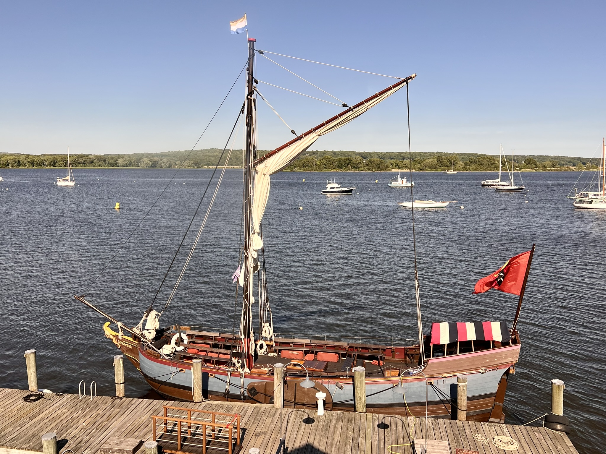
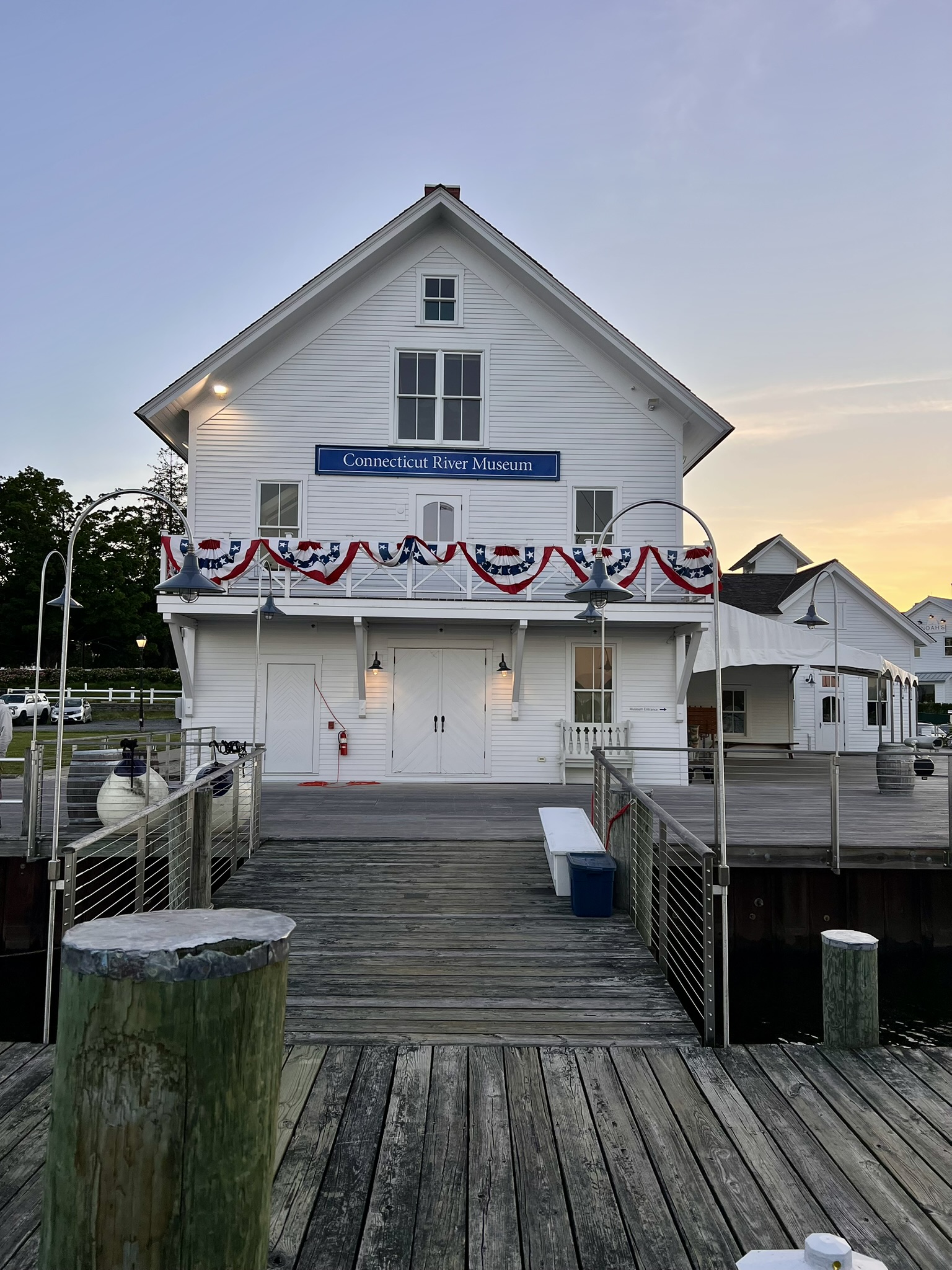
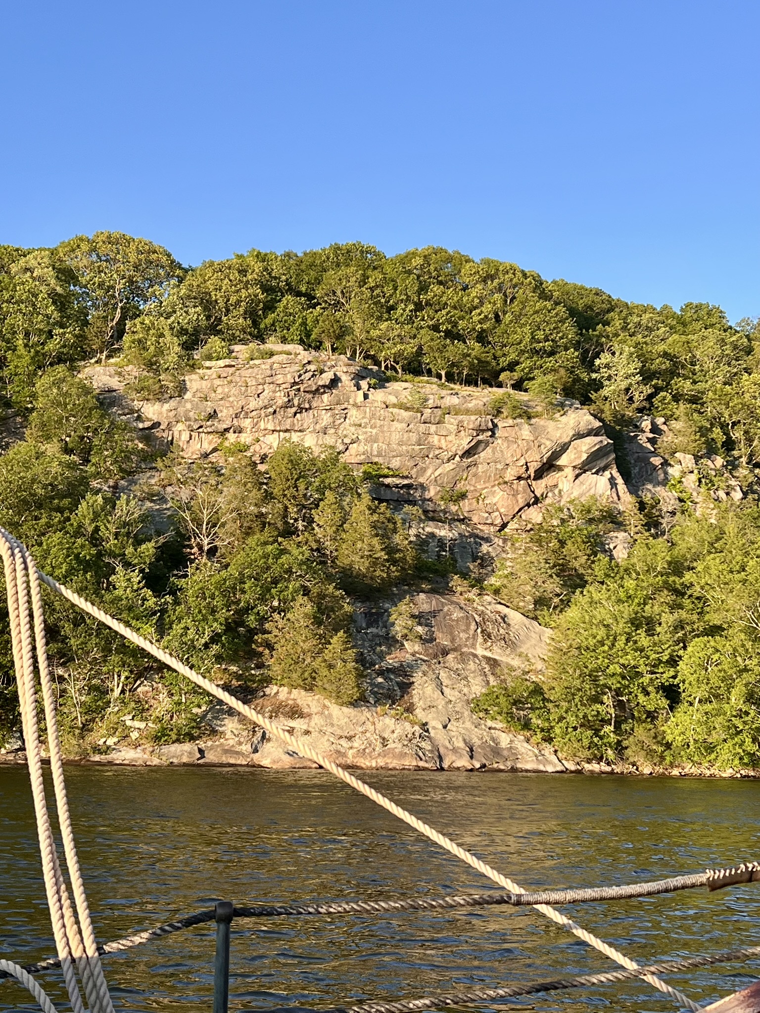
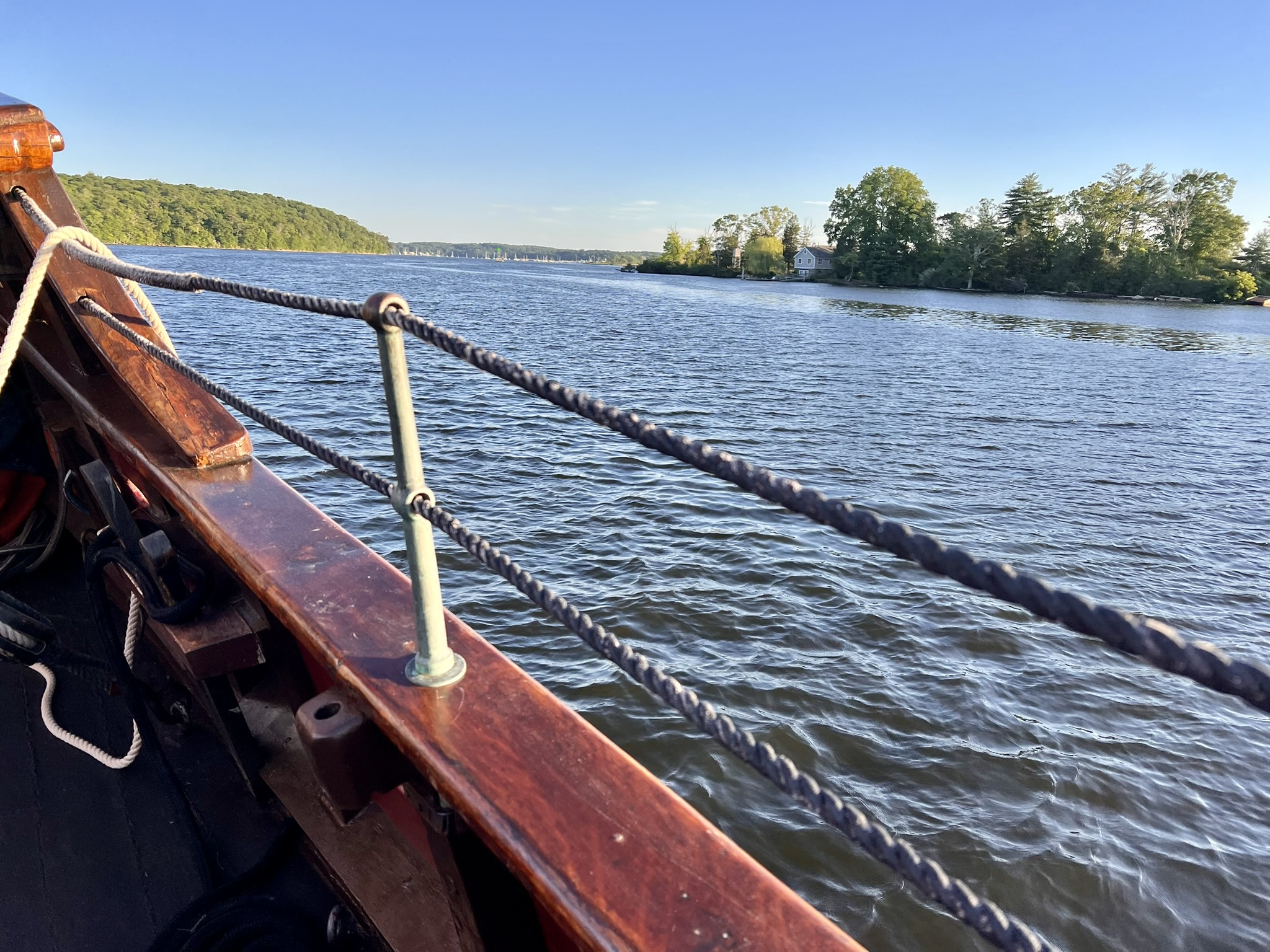
From left to right: view of Onrust from the 3rd floor of the museum; the museum from the dock; view of Joshua’s Rock; view of the river from the boat
Last summer’s blog post, The Connecticut River Part I – History of American Shad, focused on the Gateway Commission Towns between Haddam/East Haddam and Old Saybrook/Old Lyme. For this post I explored parks and trails between Middletown/East Hampton and Rocky Hill/Glastonbury where you can get to the river’s edge and admire the scenery from shore while watching the occasional pleasure boat pass by. As a bonus, I include a preserve in Haddam that I discovered recently.
Hurd State Park, East Hampton. 4.25 miles with 693’ of ascent.
Hurd State Park is one of the oldest parks in Connecticut, established with the purchase of a 150 acre parcel in 1914 from Russell Dart. Early visitors to the park would have been able to watch the steamboats pass by. The park is named after the Hurd family, some of the earliest settlers in the area. Now almost 1,000 acres, Hurd Park is adjacent to Haddam Meadows and George D. Seymour State Park to the south. Prior to becoming a state park, the land was mined and quarried, particularly in the late 1800’s to early 1900’s for the feldspar veins that ran through the granite outcroppings in the area of Split Rock. This park is popular in all seasons, and is a great destination for cross-country skiing and snow-shoeing. Winter parking is available in a lot by the intersection of Route 151 and Hurd Park Road, and by the main gate at Hurd Park Road. Once the gates open in spring, there are many pull-outs and parking areas along the park roads. There are many ways to explore the park both on-trail and off. The Western Connecticut Orienteering Club maintains a permanent O-course in the park, recently adding an advanced beginner option to complement the intermediate and advanced courses. I wrote about these and other permanent O-courses in my blog post on Orienteering in March/April of 2025.
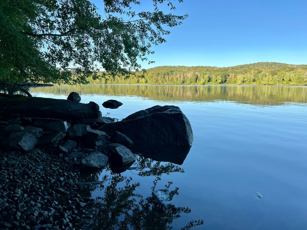
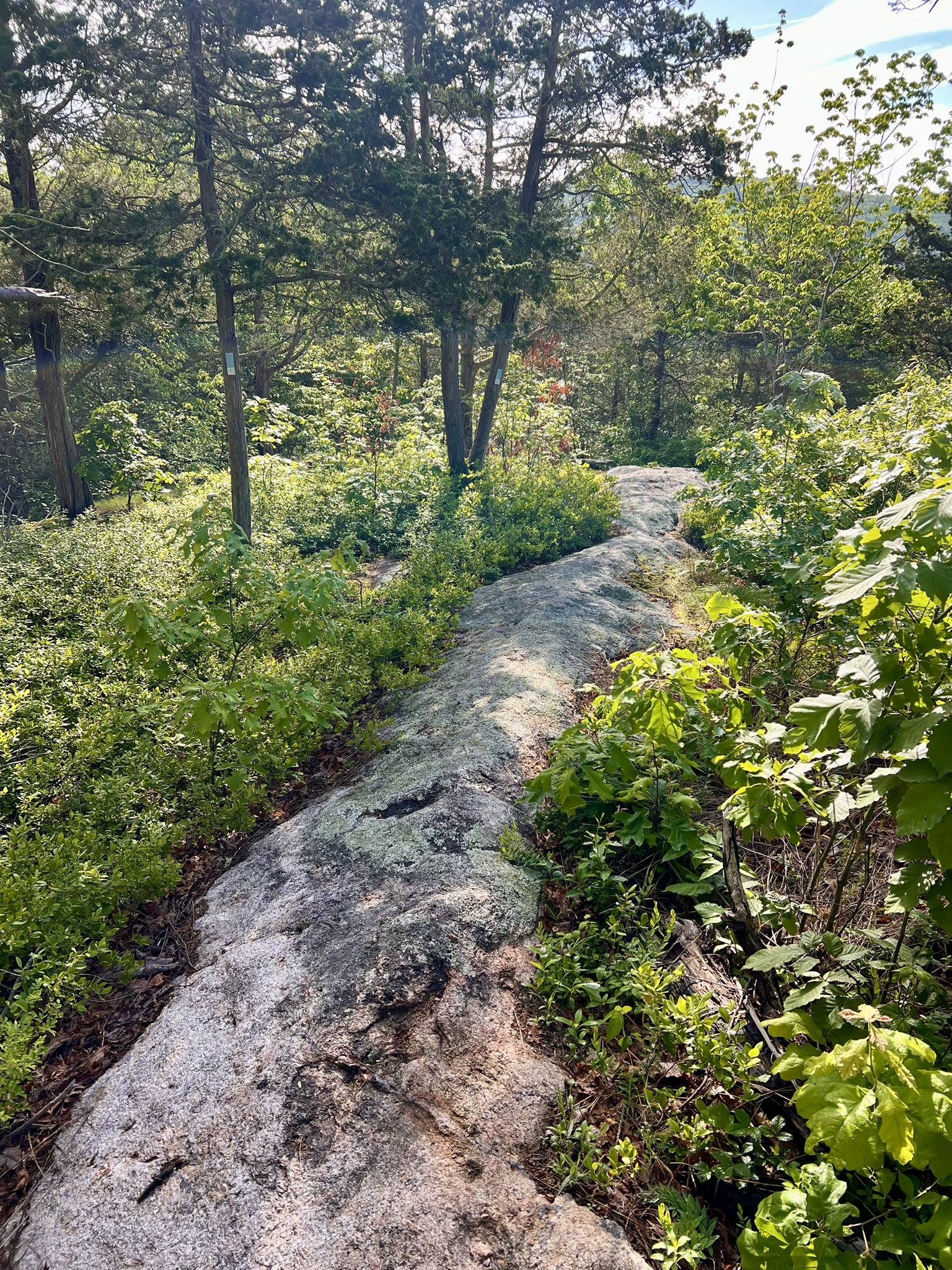
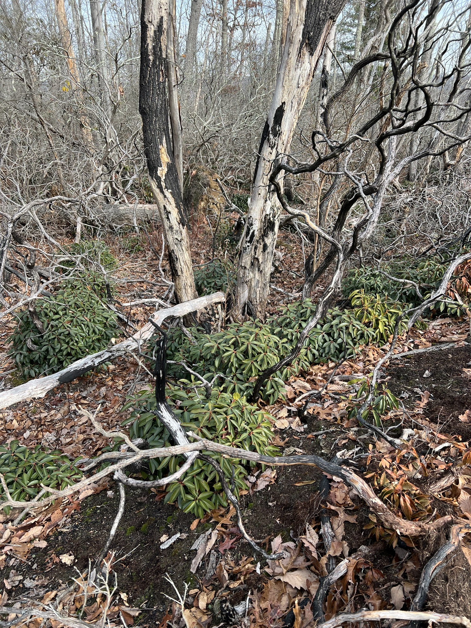
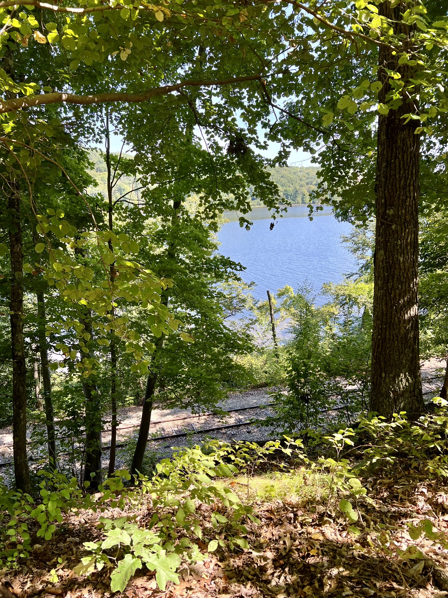
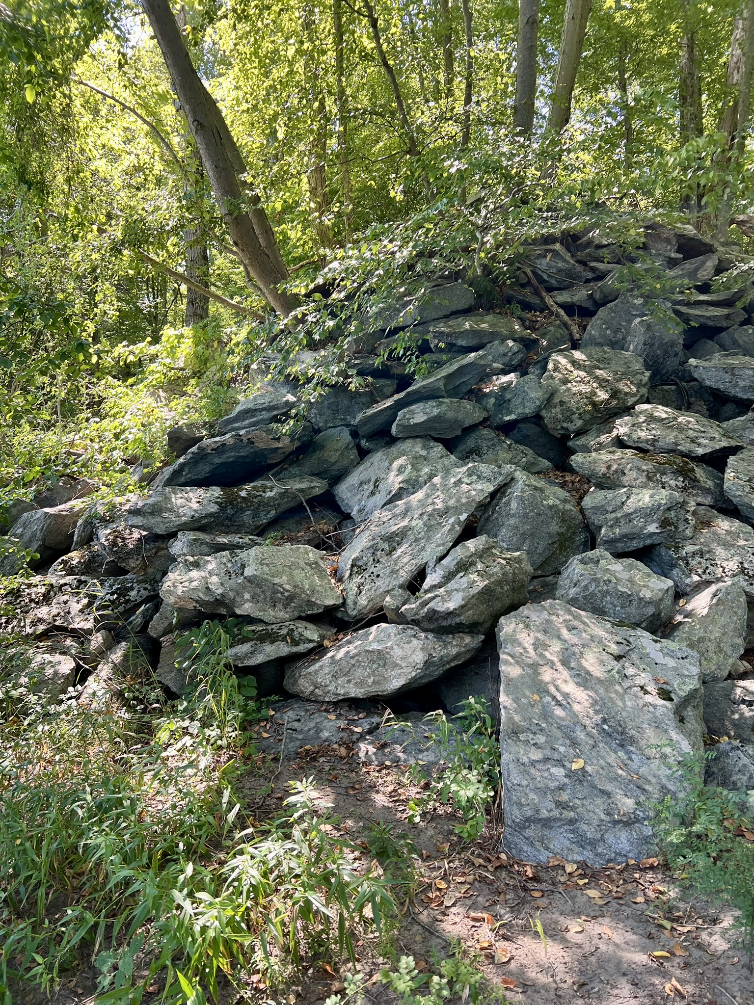
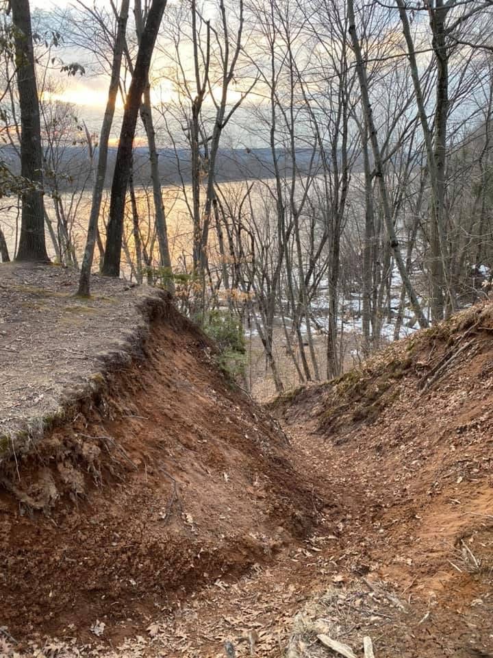
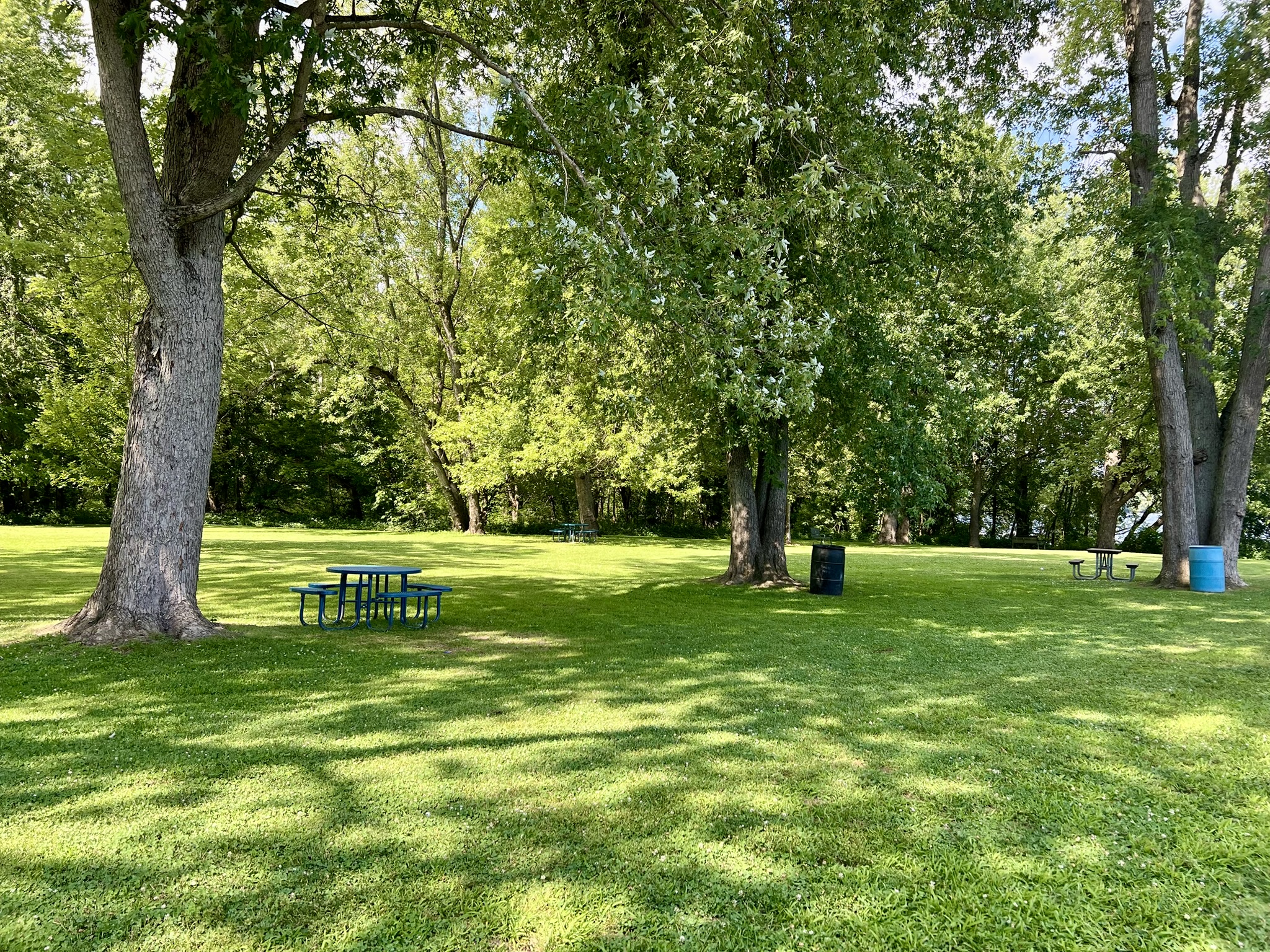
For the loop hike described below, go past the gate at the main entrance on Hurd Park Road and take your first right onto a paved road. Follow this to the end where there is a large parking area by the pavilion. I love this particular hike because it showcases a variety of the features that the park offers – peaceful woods with stone walls, a stream with a small waterfall, a grassy field that goes right to the river’s edge, and the pitch-pine ledges that offer a panoramic view from above. I have done this loop in both directions, but prefer to go counterclockwise to have the scenic overlook near the end of the hike. I recommend having the trail map handy. The trails are well-blazed, but there are many of them, as well as many unmarked trails, and it is easy to become disoriented. From the parking lot, go past the pavilion and look for the green trail. Take the trail to the left, and when it meets the blue trail turn right to stay on green. Follow green through the woods for a little over .6 miles, until the red trail enters on the left (if you miss it you will shortly arrive at the white trail and a parking area and can backtrack). Follow the red trail through the woods for close to a mile until it emerges onto a forest road. Turn right and take the road to the circle, following the signs for the River Trail. Go past the yellow gate ahead and continue along a gravel road. Watch for the red trail to turn off the road on the right, where it becomes a steep path down to the river. There are seasonal views of the river as you descend. The trail opens up to a grassy field.
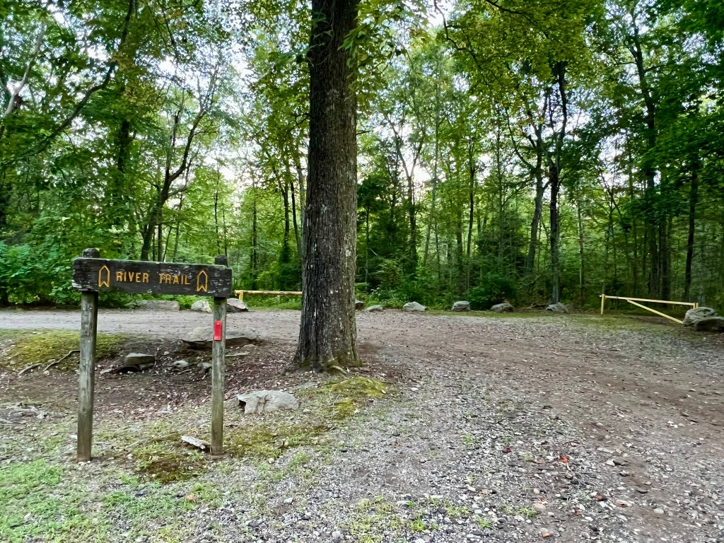
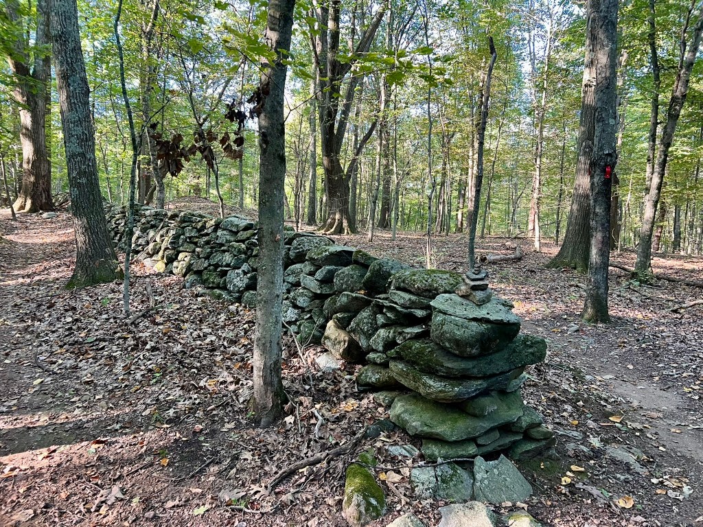
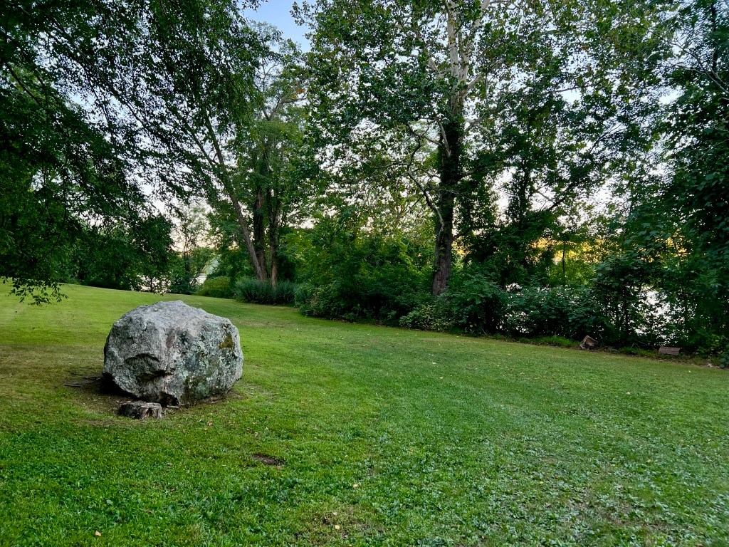
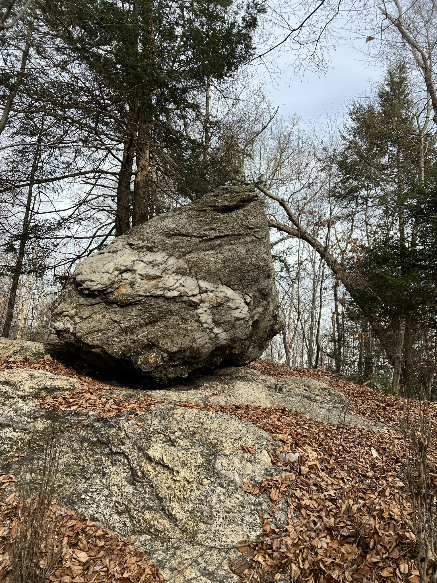
Clockwise from left: the gravel drive and sign pointing to the red=blazed river trail; one of many stone walls scattered throughout the woods; the boulder in the first grassy field
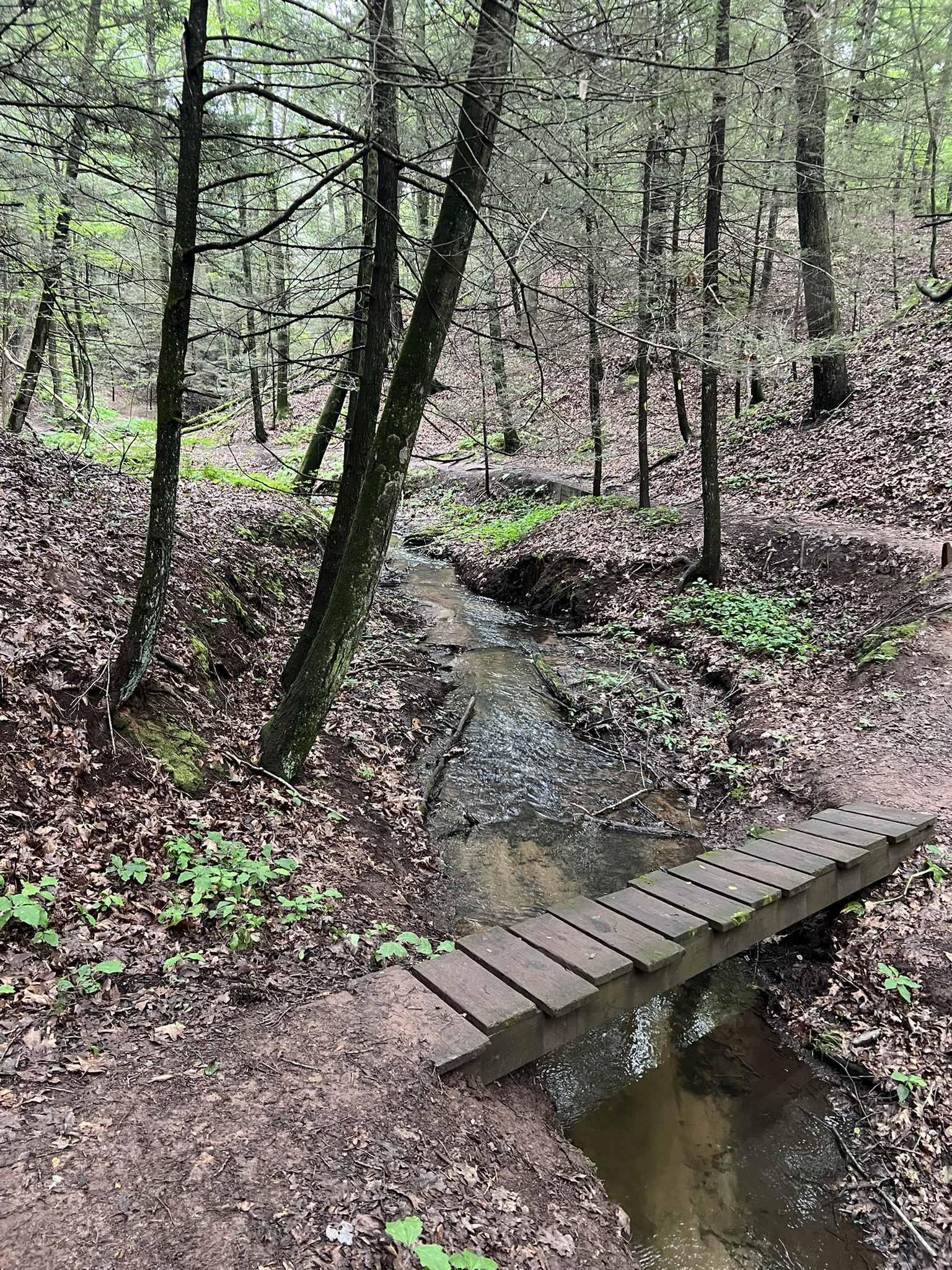
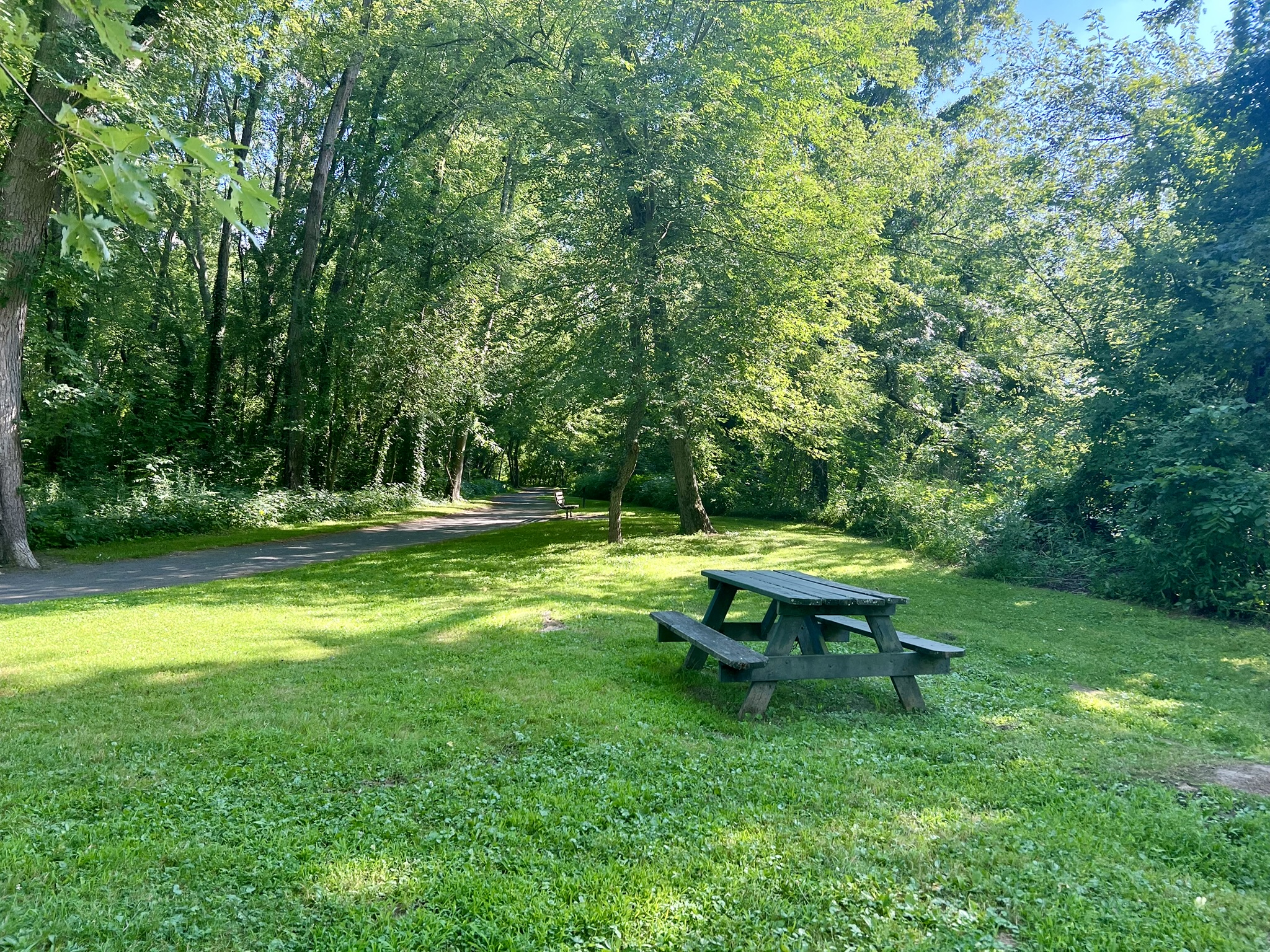
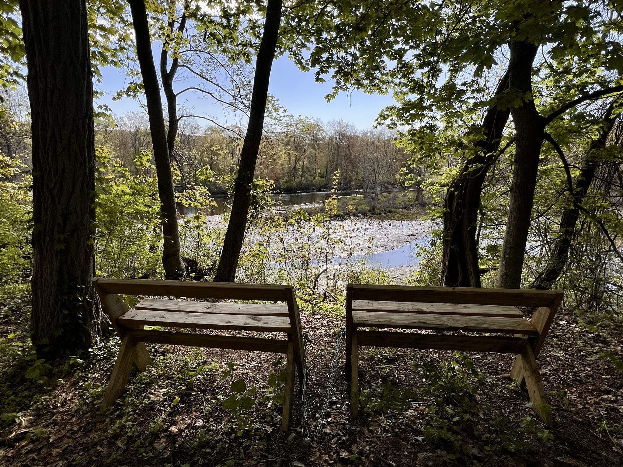
As you continue through the field there are side trails that lead down to the water’s edge. The trail crosses a stream with a small waterfall. Beyond that the trail re-enters the woods and begins to climb to the ledges. Before doing that, continue into the next field where there is a picnic table and jetty of large blocks of quarried granite. This is a perfect snack break location. Standing on the blocks of stone gazing at the river, I imagined what it may have looked like 100+ years ago when stones and minerals were being carted down from the cliffs to be transported on boats. This site is one of four river camping locations in Connecticut (along with Gillette Castle State Park, Selden Neck State Park and River Highlands State Park). These campsites are available May 1 – September 30 to people traveling by canoe or kayak. CLICK HERE for details.) The sandy stretches of beach on the opposite bank and slightly downstream are part of the Scovill Loop Trail system, described below.
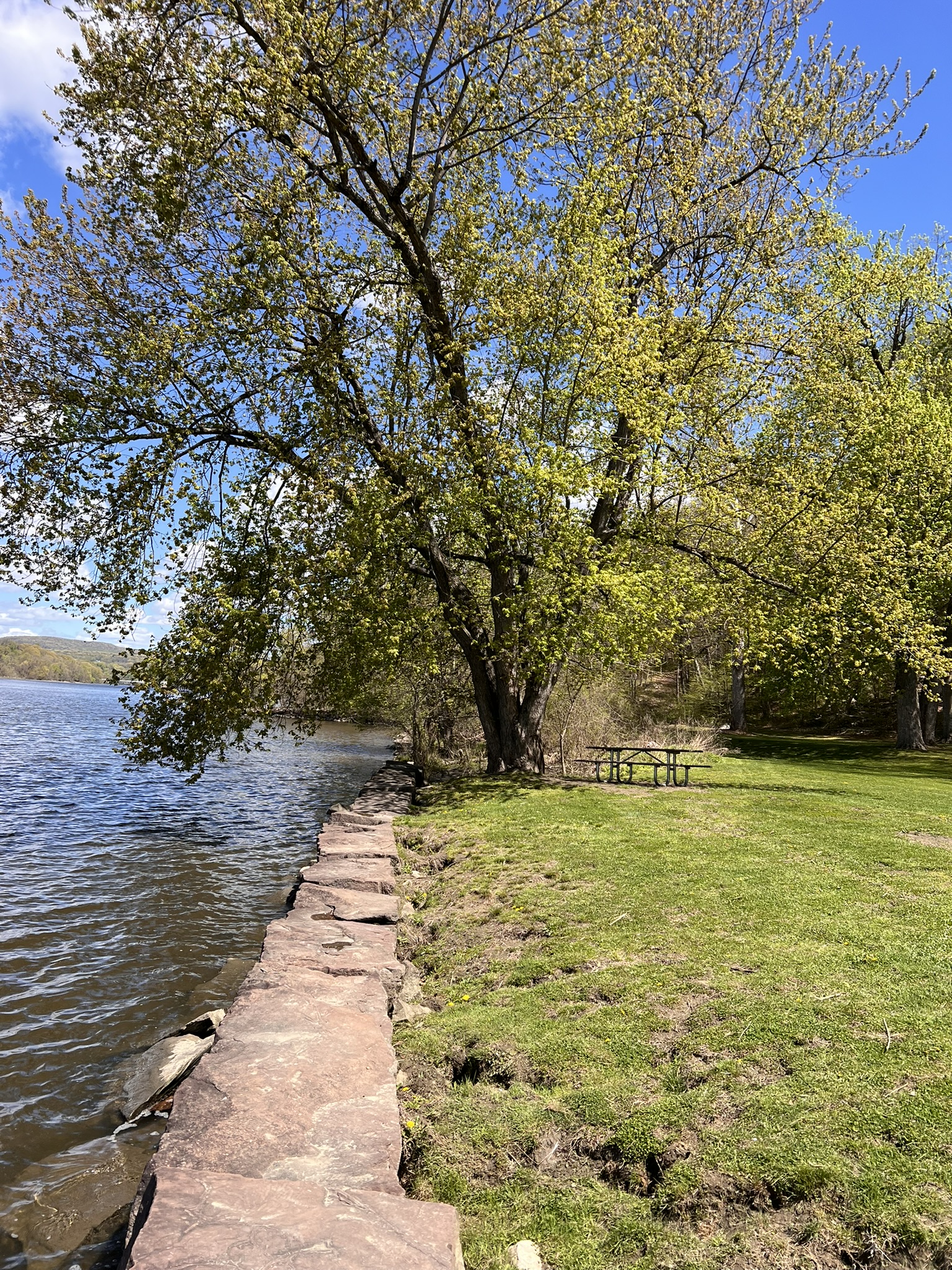
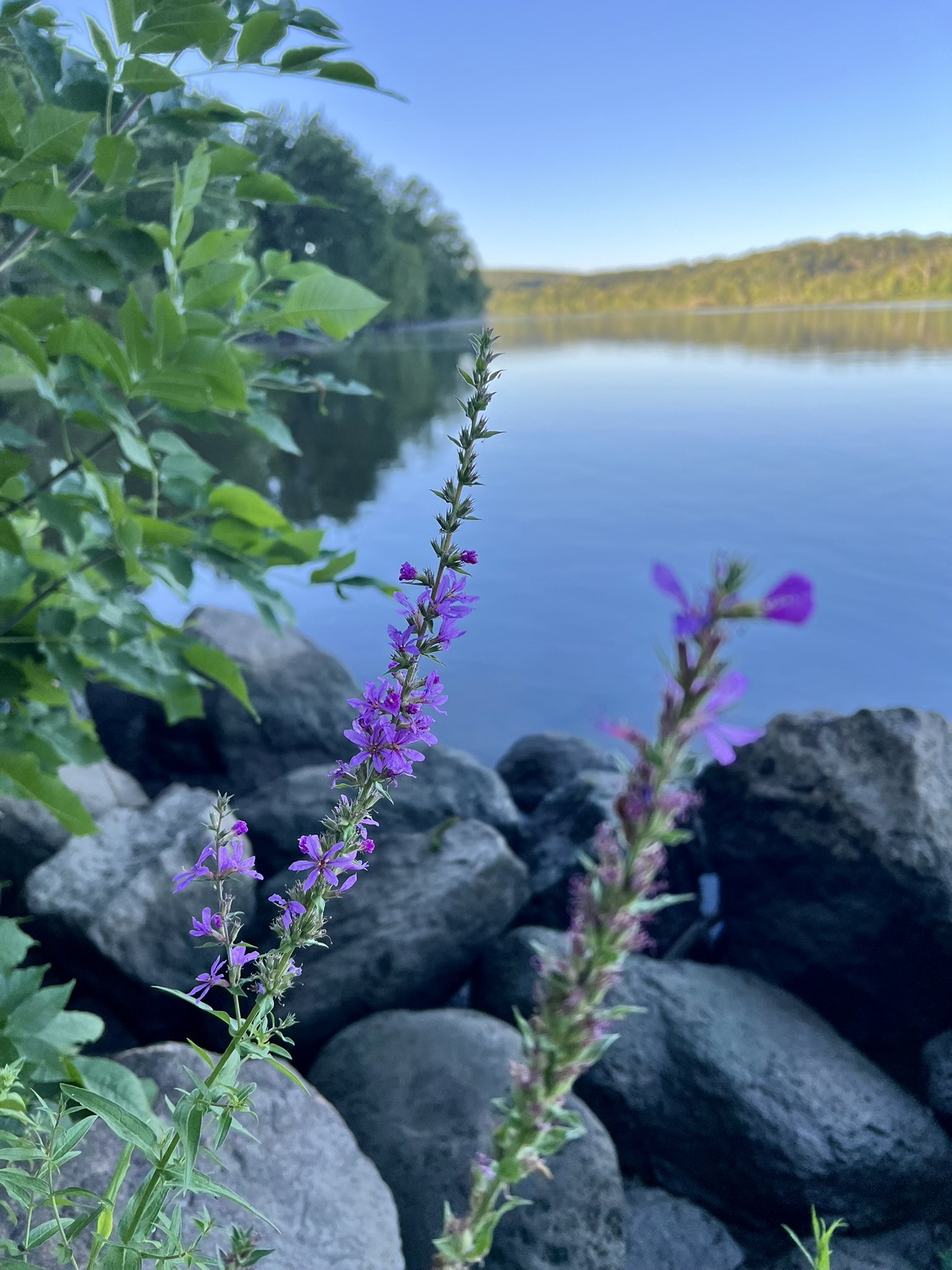
From left to right: the retaining wall at the river’s edge; river campsite; wildflowers alongside the river
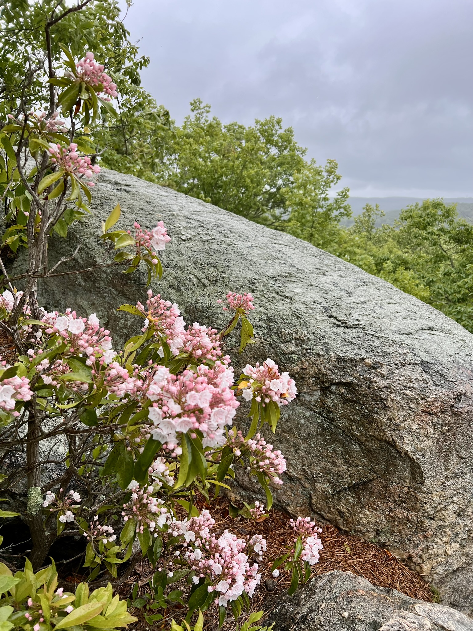
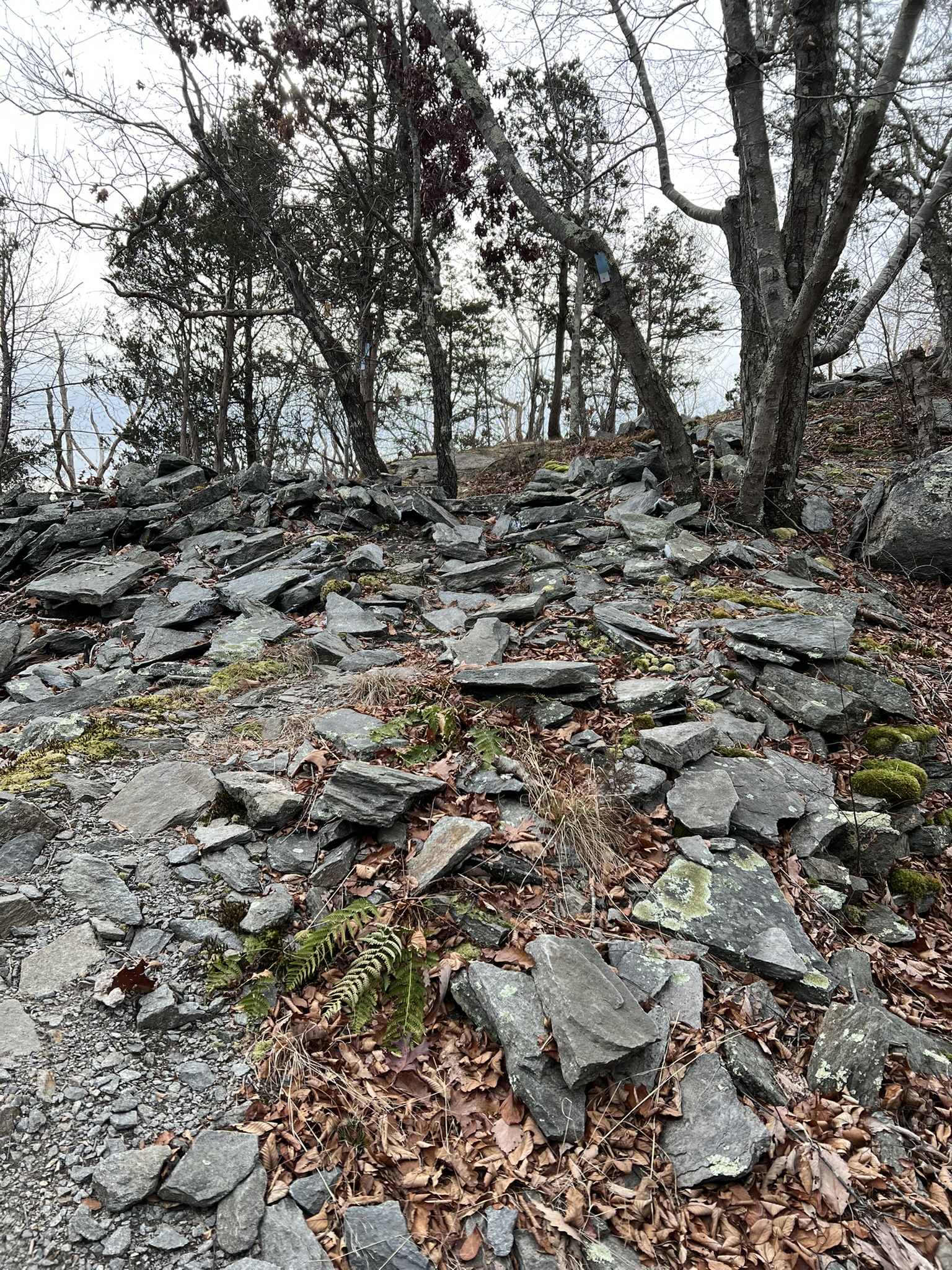
Continue on the red trail as it climbs the side slope, then turn right onto the orange trail and follow it to a giant boulder that is sadly covered with graffiti. Just beyond the trail opens up to the overlook at Split Rock. These beautiful granite ledges are dotted with pitch pines and mountain laurels, the latter of which were just starting to bloom when I led a group hike there the last weekend of May. Followed the yellow-blazed Split Rock Trail back to the red trail, turn right and take the red trail back to the pavilion.
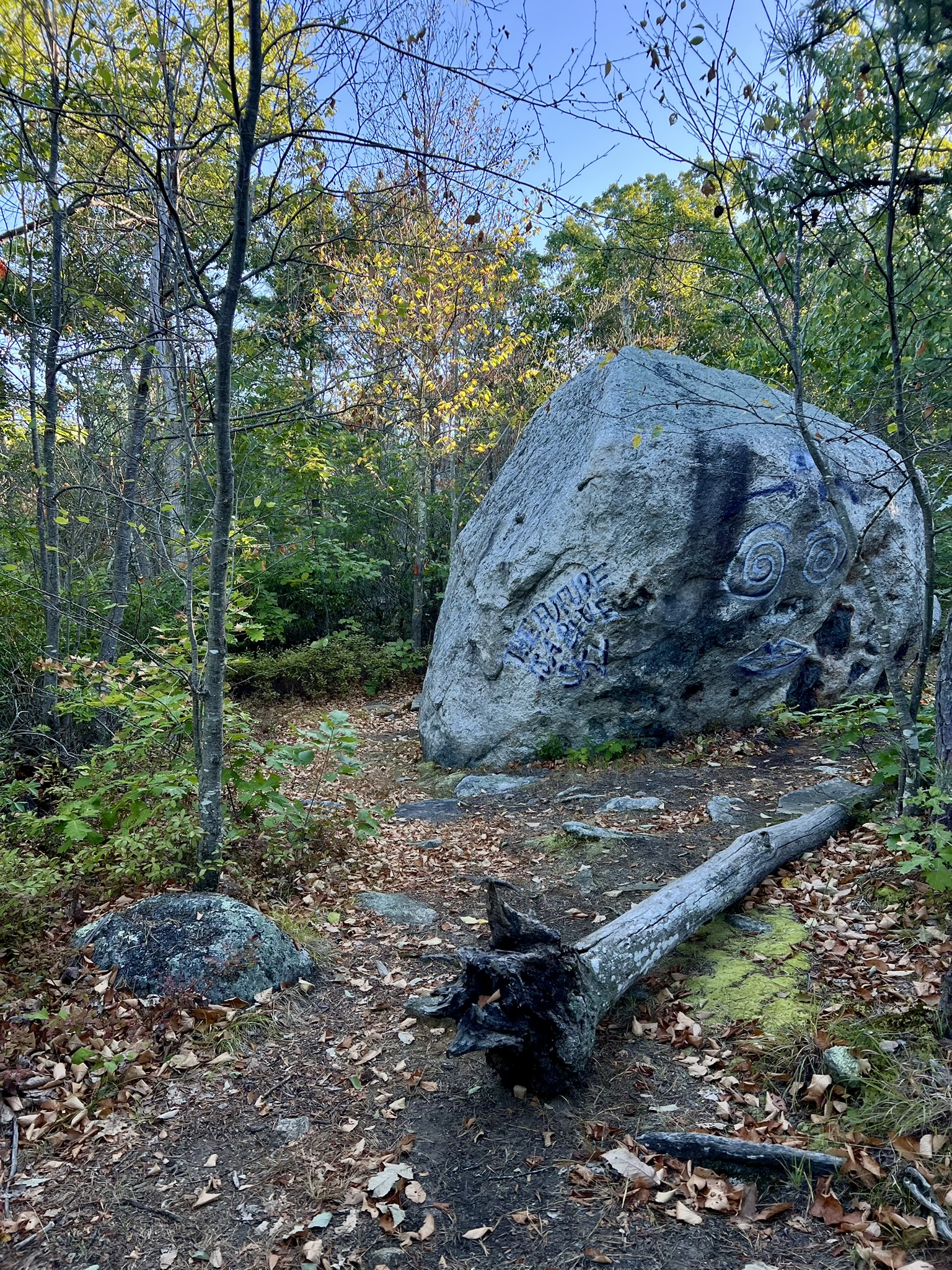
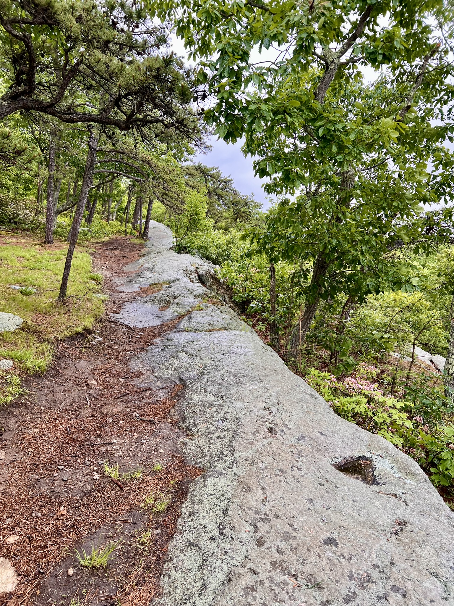
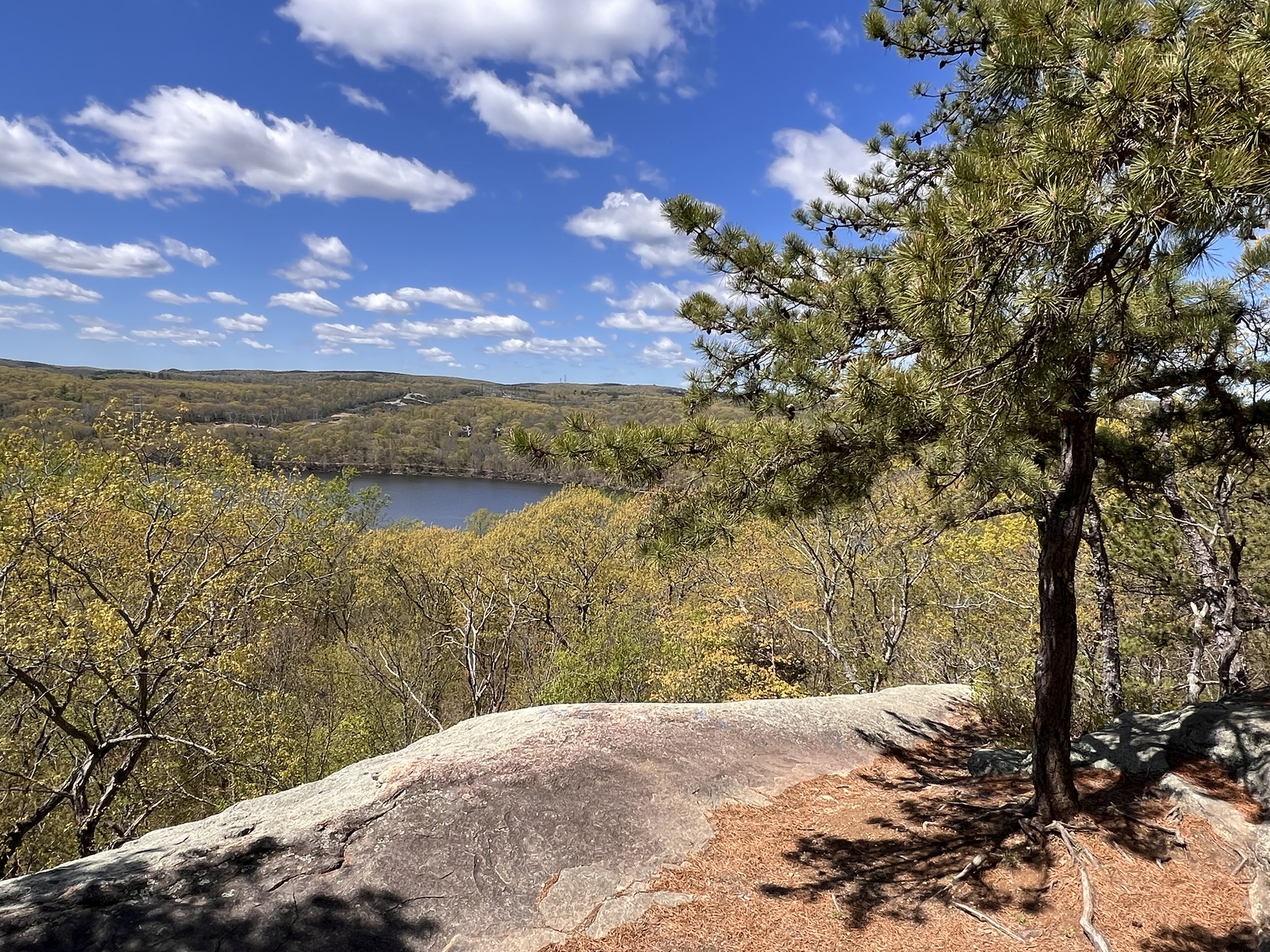
The graffiti-covered boulder and views from the ridge
Scovill Loop Trails, Middletown. 3 miles.
The Scovill Loop Trails at Hubbard Brook Preserve offer close to 3 miles of hiking over varied terrain on 3 separate trails (two loop trails and one out-and-back). The Connecticut Forest and Park Association (CFPA) has a conservation easement from Eversource on 75 acres and maintains these trails as part of their blue-blazed network. I first visited in late May of 2022, unaware that less than two weeks earlier a brush fire had raged through the area, burning over 250 acres. I was aghast at the charred landscape – not learning the cause until I searched the Internet later that day. I didn’t keep my photos, but you can see them in my Instagram post from that time.
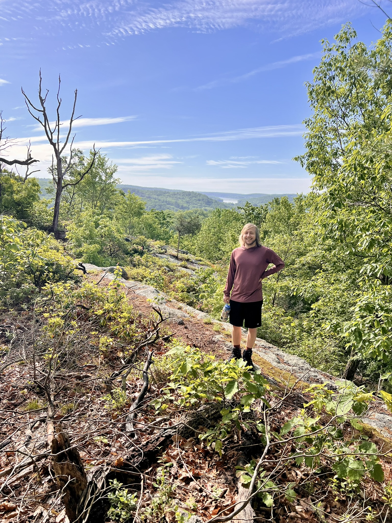
I led a CFPA Nature Nerds hike here in December of 2024, shortly after CFPA work crews rerouted the northern loop to avoid having it go along the railroad tracks. Now there is a blue/yellow spur trail that crosses the tracks and leads out to a beautiful stretch of beach. I returned in May of this year, and had the opportunity to walk the trails with Sam Yeager, who became the CFPA Trail Manager for these trails last fall. Sam already had trail building and maintenance experience, having worked previously for the Connecticut Woodlands Conservation Corps (CWCC), which is a paid summer and fall program offered by CFPA. His youthful energy, excitement about improving the trails, and deep interest in the history of the land was infectious and ignited my curiosity to learn more. This section of the Connecticut River from the elbow down was once known as the Maromas District of Middletown, likely for the marble-like look of the granite that was quarried here in the 19th century. Settler land grants from the King of England date back to 1671, and before that, Native American Wangunk tribes populated the area. That all changed in 1955 when the Air Force and Atomic Energy Commission (AEC) eyed this location for an atomic laboratory for the development of manned nuclear aircraft. A February 6, 1955 Hartford Courant article by Ernest Dickinson headlined “Last Days of Maromas” puts a face on the town citizens facing displacement. CL&P purchased close to 1,000 acres for use in their part of the planned atomic energy program. The project was short-lived and was terminated in 1961. Pratt & Whitney purchased the facility in 1966 and CL&P kept most of their acreage undeveloped. None of this history is mentioned on the Maromas page of the Eversource website. One local, a descendant of one of those Maromas families, is determined to keep that history alive. He is featured in this short video that Sam shared with me, a proof of concept for a documentary about Maromas.
For our hike, we started across the road from the parking lot on the blue/white blazed Quarry View High Trail, a .4 mile long trail through a 19th century quarrying operation to an overlook with views of the Connecticut River. This is the trail that suffered from the 2022 brush fire, and it has been interesting to watch the regeneration, especially of the mountain laurel that had been devastated. Sam has cleared one of the overlook ledges that had become overgrown, creating a spectacular picnic spot.
CFPA Trail Manager Sam Yeager at the Quarry Trail overlook; the trail; mountain laurel regeneration in December of 2024; remains of the quarrying operation in winter
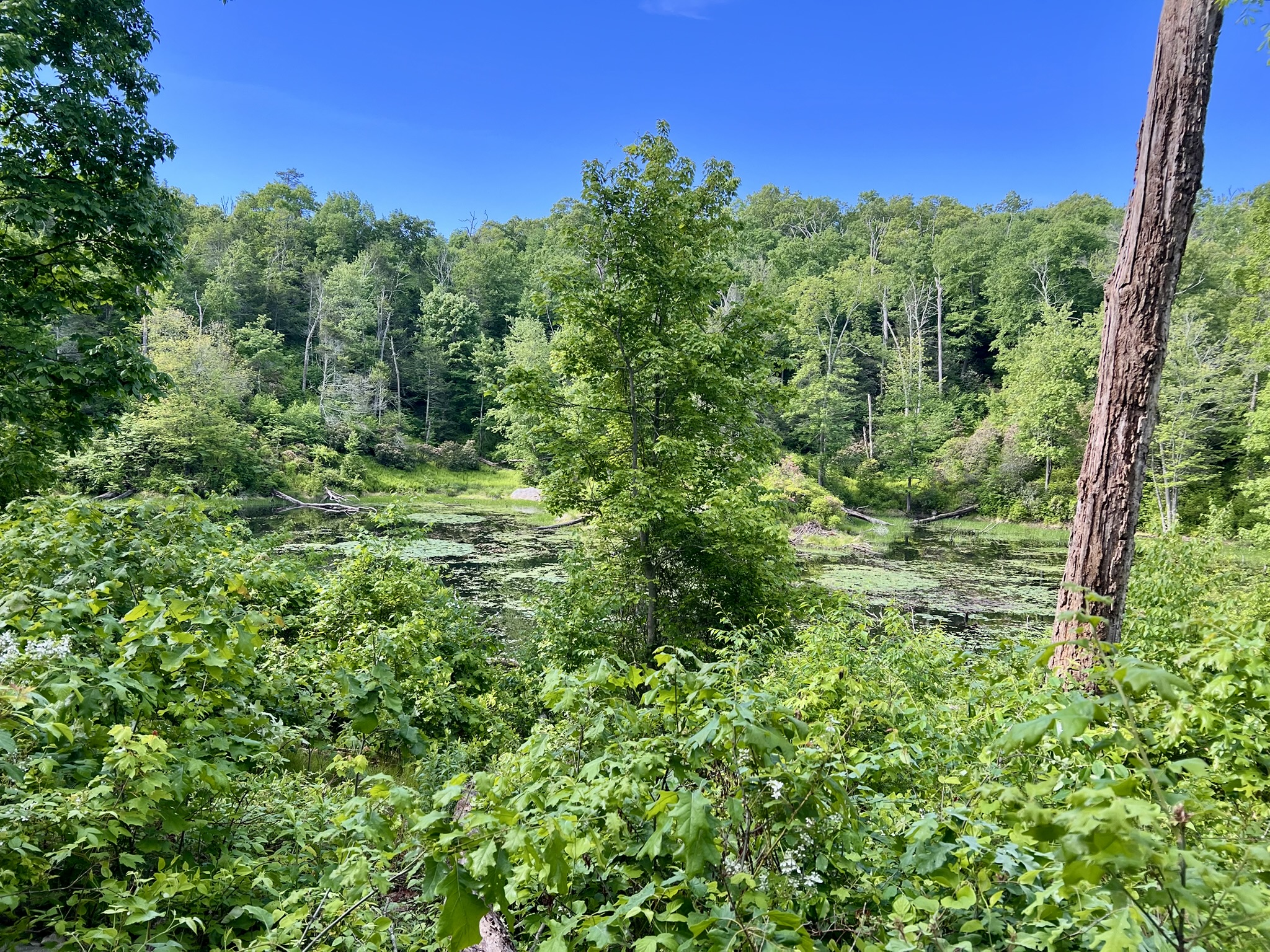
Back at the parking lot, we entered the woods to the south to hike the blue/red loop. The blue trail and the blue/red trail go together briefly before the blue trail veers off to the left (the map at the kiosk appears to show this incorrectly). The blue/red trail loop starts where a large grindstone sits alongside the trail, its origin unknown, although the Map of Maromas District indicated that Thayer’s Grist Mill once operated nearby. Going counterclockwise, we came across several stoneworks and foundations, their former use still a mystery. This .6 mile trail goes past an old beaver pond and follows the embankment of the Valley Railroad tracks offering seasonal views of the river.
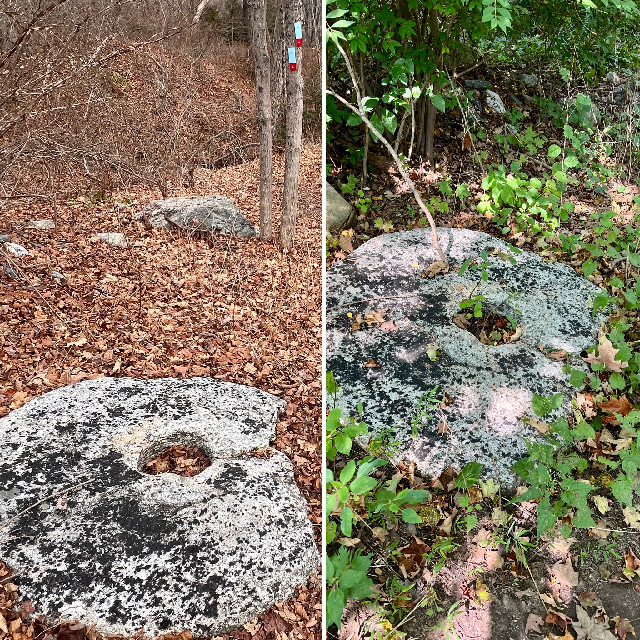
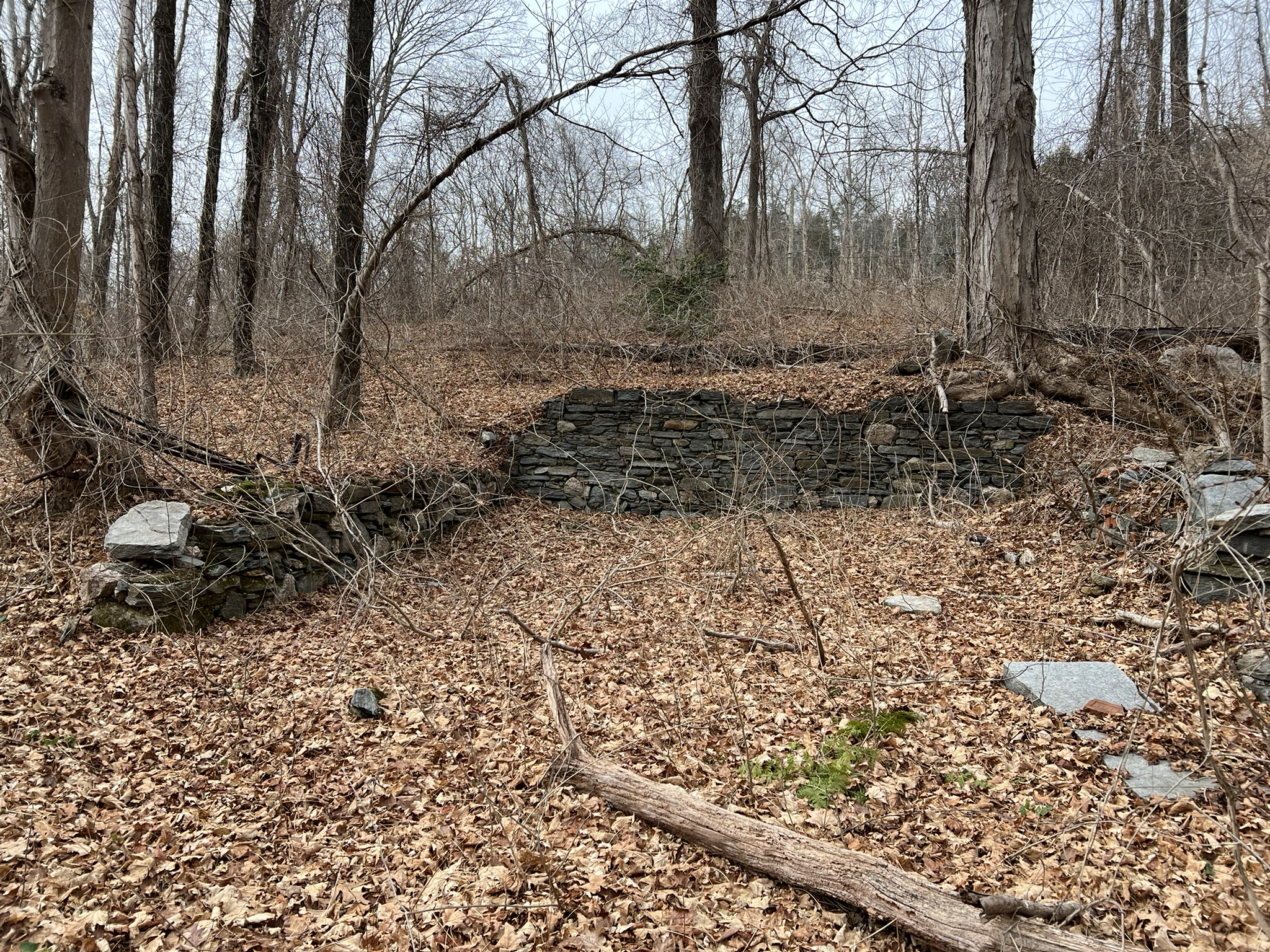
From left to right: the old grindstone in winter and spring; one of several foundations; view to the river from above the railroad tracks; the old beaver pond
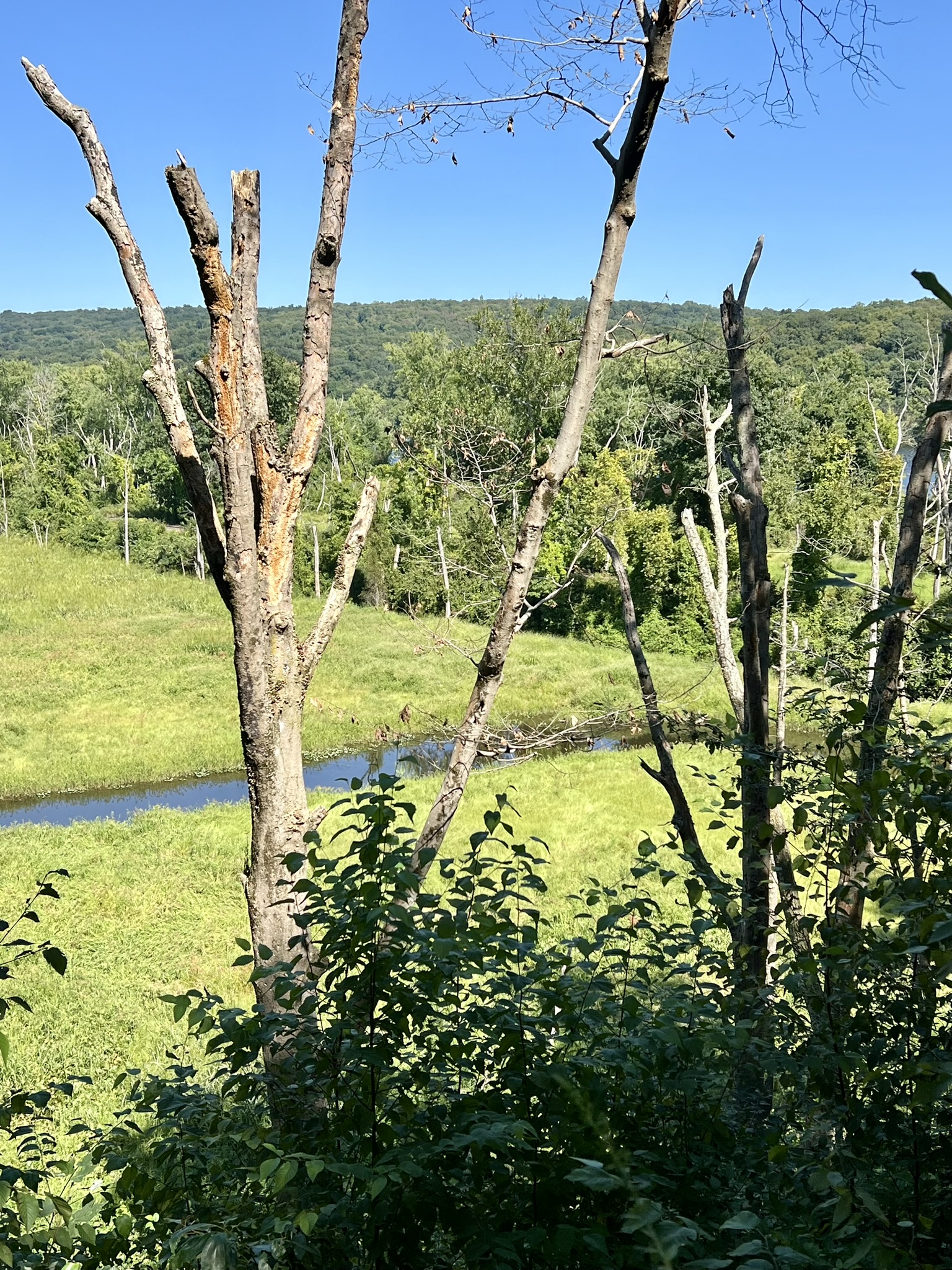
Next, we crossed the parking lot and did a clockwise loop of the blue trail starting at the map kiosk. This one mile trail passes alongside a beaver pond called Moller’s Pond, after the estate that used to stand there. The trail skirts a quartz-packed glacial erratic and passes through an arbor of mountain laurel that was just starting to bud out. At the northernmost point of the loop there is a picturesque view down to the marsh flats of Hubbard Brook, a great spot for bird-watching. Reaching the tracks, we took the blue/yellow blazed spur trail to the river, passing a pile of large rocks, detritus from when the railroad was built. Take your time to enjoy this long stretch of beach. Looking across the river, the grassy bank and stone retaining wall is Hurd State Park. Retracing our steps, we continued on the loop, crossing a sturdy bridge that was built as part of the 2024 relocation work. As you continue through the woods, watch for the lone pitch pine tree looming overhead. The trail comes to a meadow, and ends at the junction with the blue/red trail.
From left to right: view of the marsh and Hubbard Brook; quartz-laden glacial erratic; the beach in spring and winter; the rock debris from the construction of the railroad
Directions: Take Route 9 to exit 19 (old exit 10) for Aircraft Road. At the end of the ramp, continue straight onto Aircraft Road for 1.9 miles then turn right onto River Road. Continue for 0.7 miles and the trailhead parking is on the left. NOTE: part of River Road is a dirt road.
River Highlands State Park, Cromwell
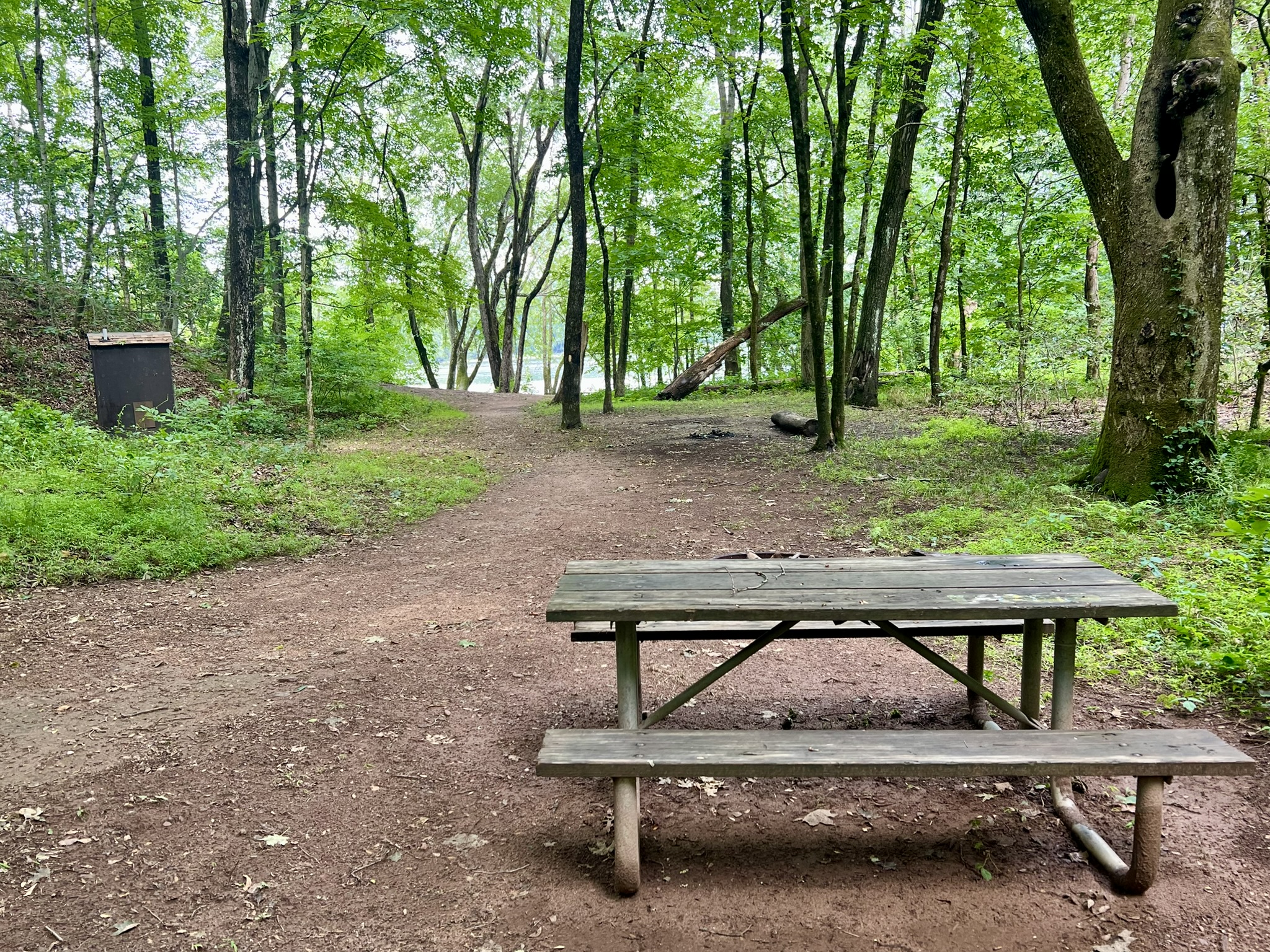
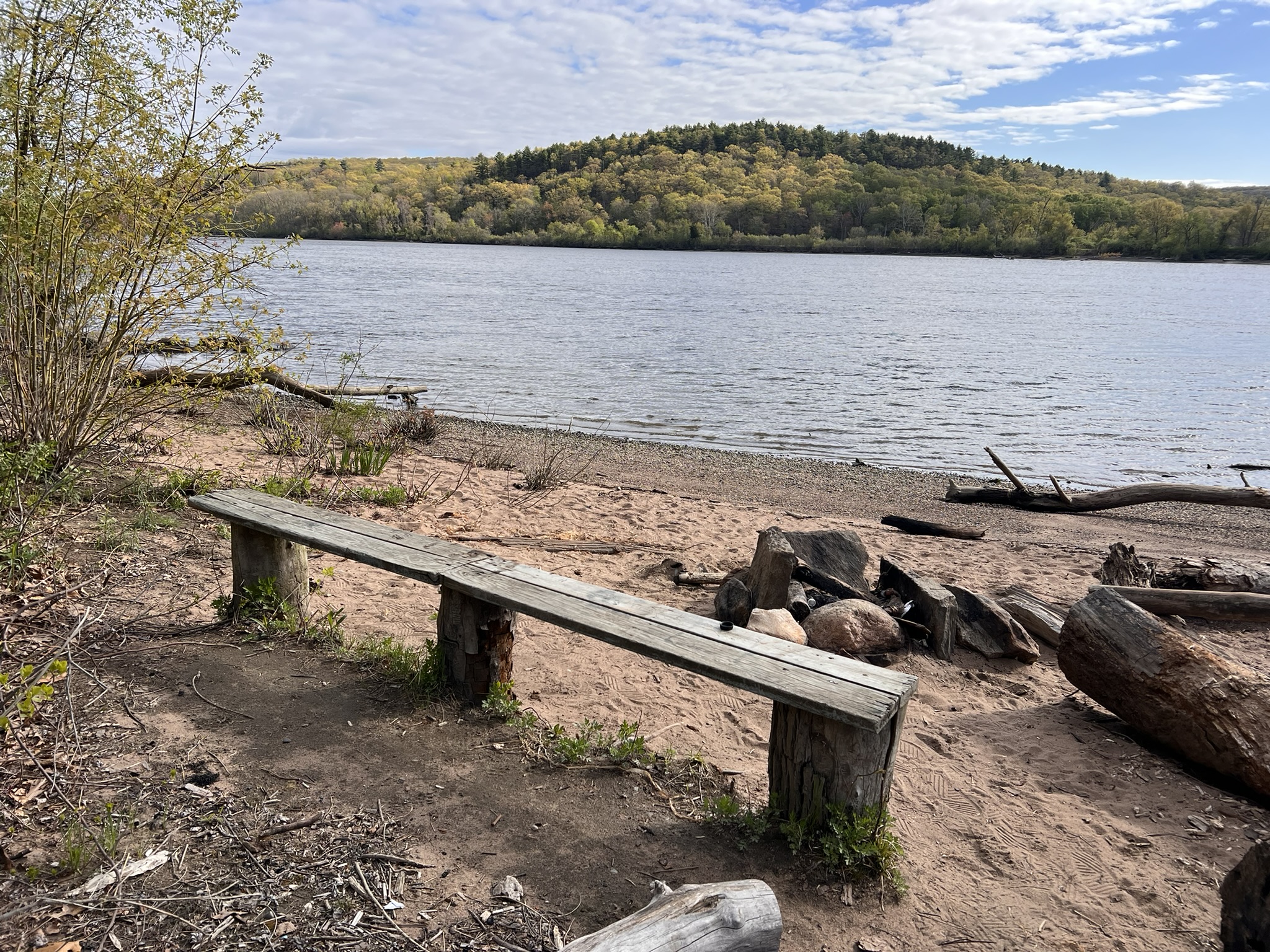
River Highlands State Park offers several miles of trails for hiking and mountain biking on 177 acres. It is one of the four river camping locations in the state available to canoers and kayakers. Previously farmland that reverted to woodland, the state purchased the property in 1995, and officially dedicated it as a state park in 2001. I first visited this park in March of 2021 for a sunrise hike of about 3 miles. I started with an out and back on the white trail to walk the high ridgeline overlooking the river, then took an unmarked steep trail down to the water’s edge. I finished up on the yellow and green trails.
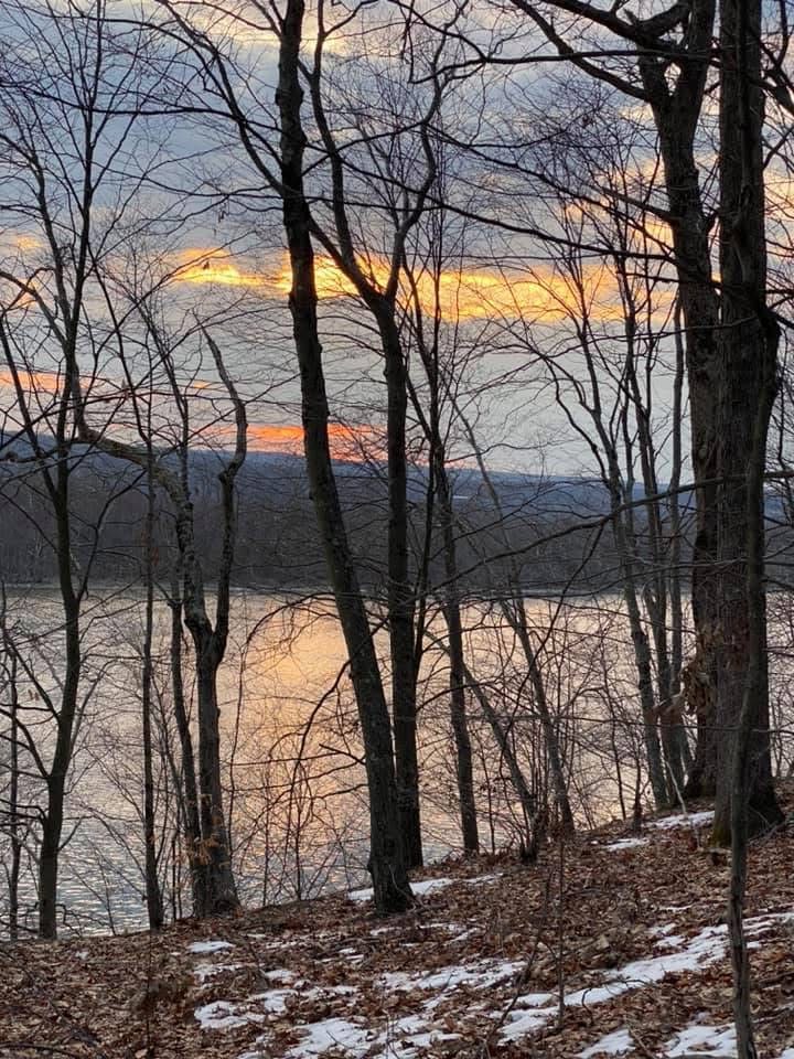
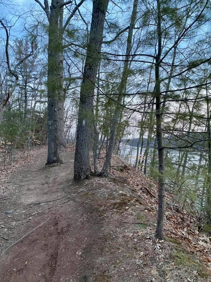
From left to right: sunrise from the ridge in winter; the white trail along the ridge; the steep, eroded trail down to the river; the yellow trail alongside the stream
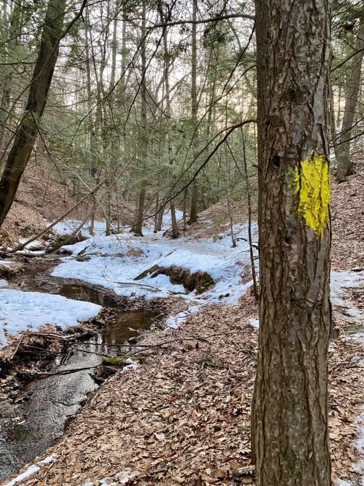
Visiting again in August of 2025 after heavy rains we only went 1.5 miles as it was very humid and VERY buggy. We took the white trail to the yellow trail, which follows the narrow ravine along a small stream that was flowing strong after the rains. There were several bridge crossings, and then the trail came to the river. It was low tide and a very scenic spot with several picnic tables. From there we took the unmarked and very steep, eroded trail to the top of the ridge and walked the white trail north along the bluff above the river. Because of the bugs we looped back on the blue/white trail rather than continue to the end. You can find more information on the Park Web Site, including the Trail Map, which I recommend having with you as there are many different trail options.
From left to right: the campsite area at River Highlands; one of several stream crossings; the beach at low tide
Cromwell Landing, Cromwell
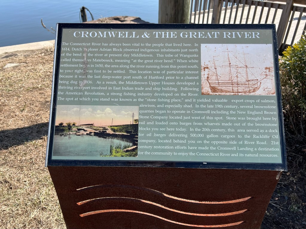
For a nice spot to enjoy the river without a hike, this tranquil town park has several benches, a deck area, picnic tables and grills, a wide lawn and gazebo. There is parking for a several cars. If the parking is full, you can walk here from the parking area for Cromwell Landing South which is just .2 miles further along River Road and has a larger parking area but no facilities. Don’t miss the historical signboard, which encapsulates the history of the river as transportation in its succinct history of the area, starting with Dutch Explorer Adriaen Block’s exploratory voyage up the river in 1614 where he observed “indigenous inhabitants just north of the bend in the river at present day Middletown.” Because this section of river had a deep-water port, “the Middletown Upper Houses developed a thriving riverport involved in East Indian trade and ship building.” Later on, in “the late 19th century, several brownstone quarries began to operate in Cromwell including the New England Brown Stone Company located just west of this spot. Stone was brought here by rail and loaded onto barges from wharves made out of the brownstone blocks you see here today. In the 20th century, this area served as a dock for oil barges delivering 500,000 gallon cargoes to the Rackliffe Oil Company, located behind you on the opposite side of River Road.”
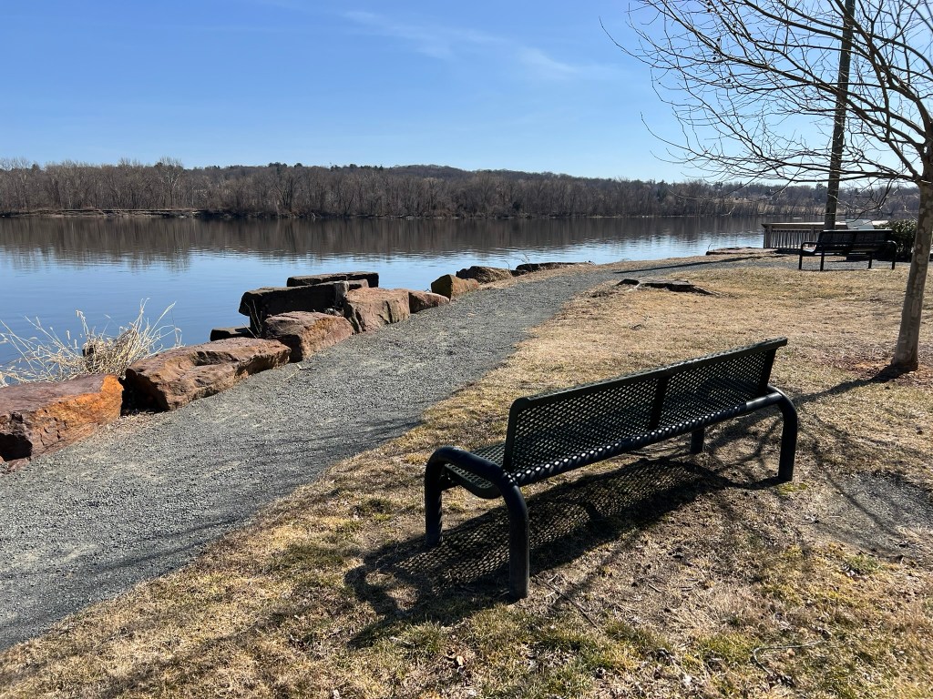
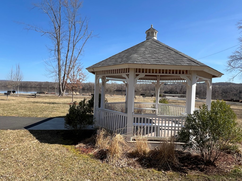
From left to right: bench along the walkway with the deck in the background; the signboard with the history of the river in Cromwell; the gazebo
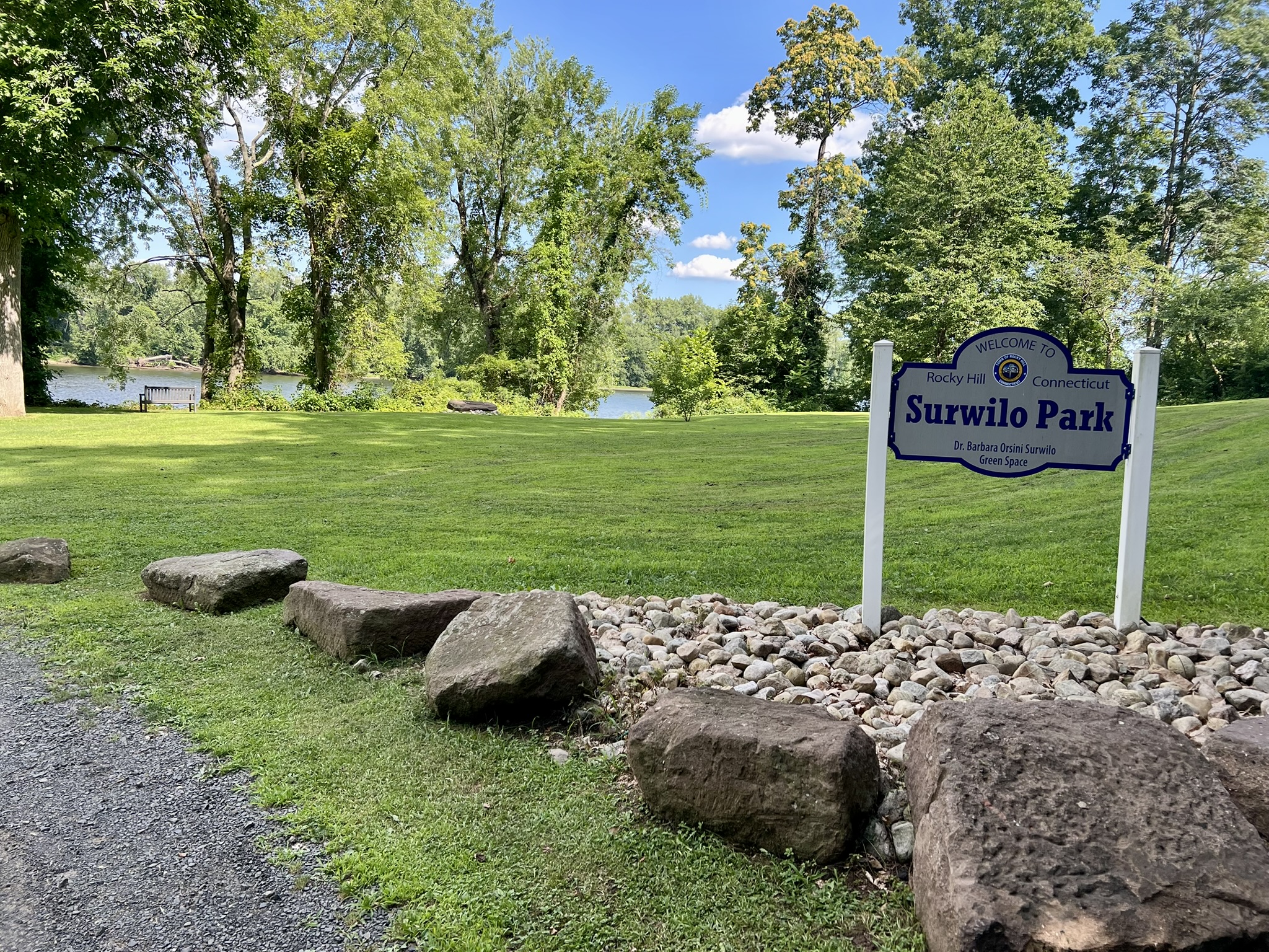
Surwilo Park, Rocky Hill
Surwilo Park, located at 45 Meadow Road in Rocky Hill by Hog Brook, had its official dedication on September 5, 2019. This video from the Rocky Hill Historical Society shares the history of the area, how “the river and community public access parted ways”, and how the creation of this small park was designed to reconnect the community to the river. The CTMQ website (one of my favorite websites for all things Connecticut) gives a broader history of Barbara Surwilo, for whom the park is named, as well as some information about the abandoned factory building you pass on the way in. There is a small parking area, a wide expanse of lawn, access to the river’s shore at low tide, a memorial plaque to Surwilo, and a signboard sharing the history of shipbuilding in Rocky Hill, including the John Williams II shipyard which opened at the site of the current park around 1797.
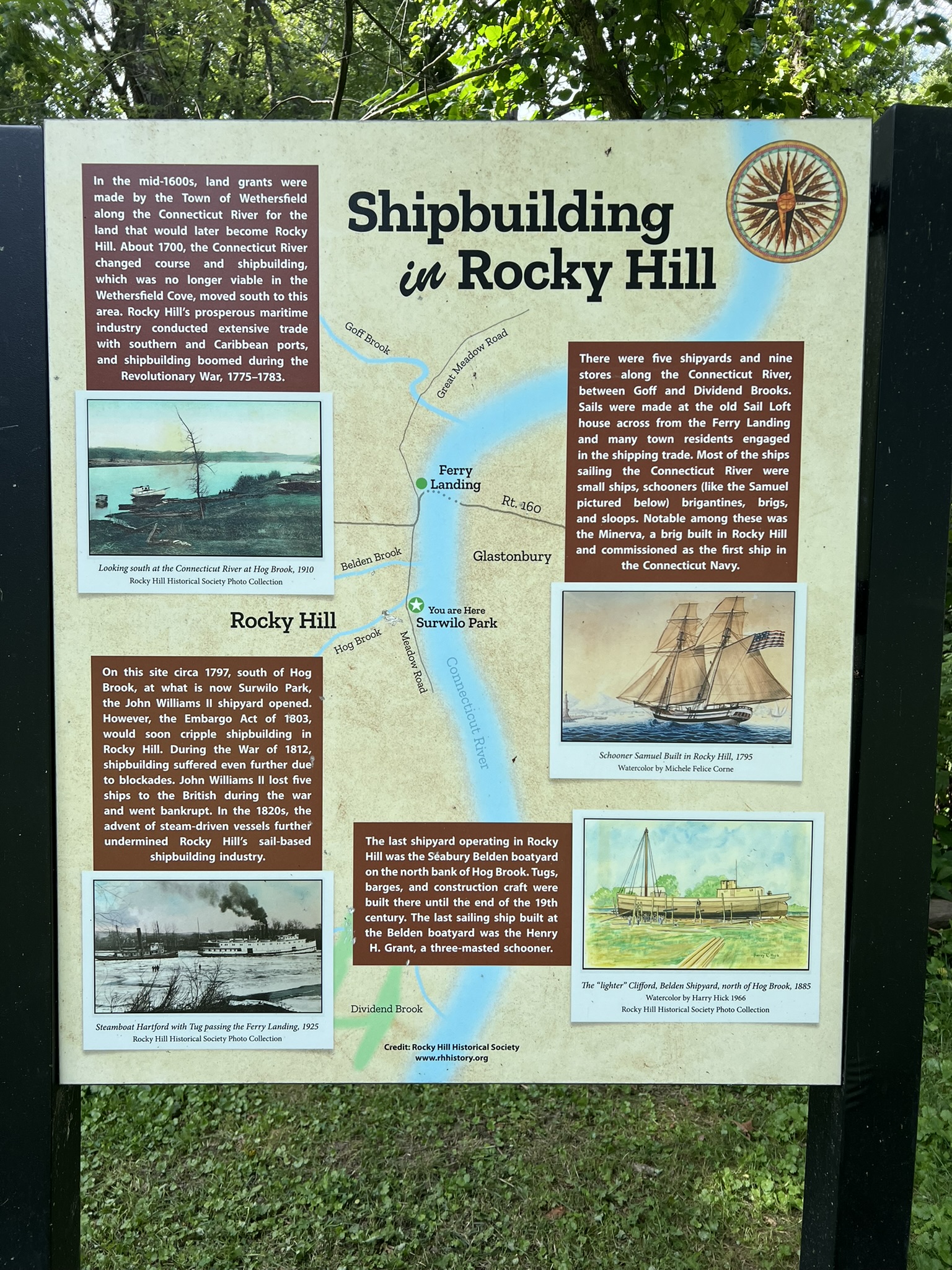
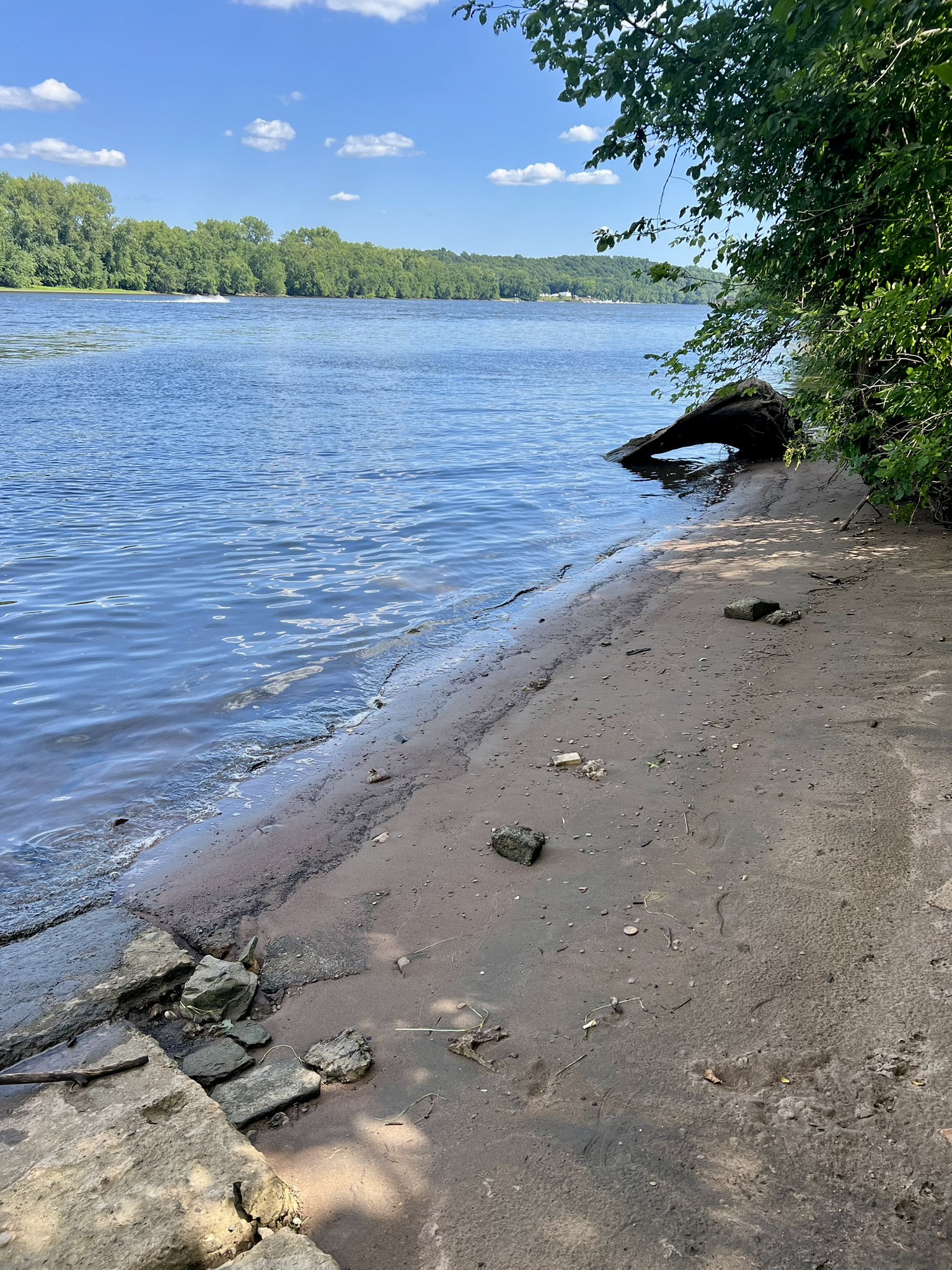
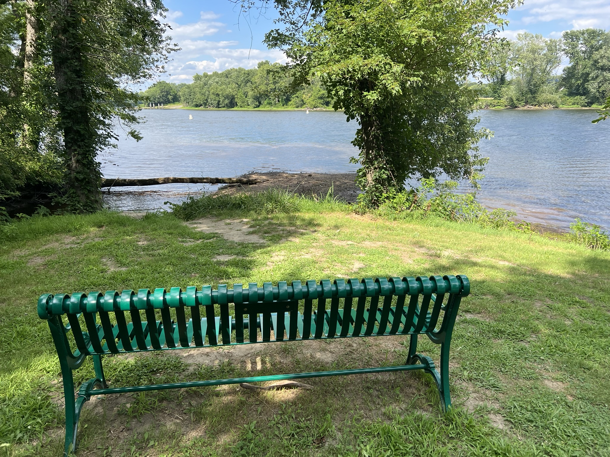
From left to right: parking and entrance to Surwilo Park; the history of shipbuilding in Rocky Hill sign; the beach; contemplation bench overlooking the river
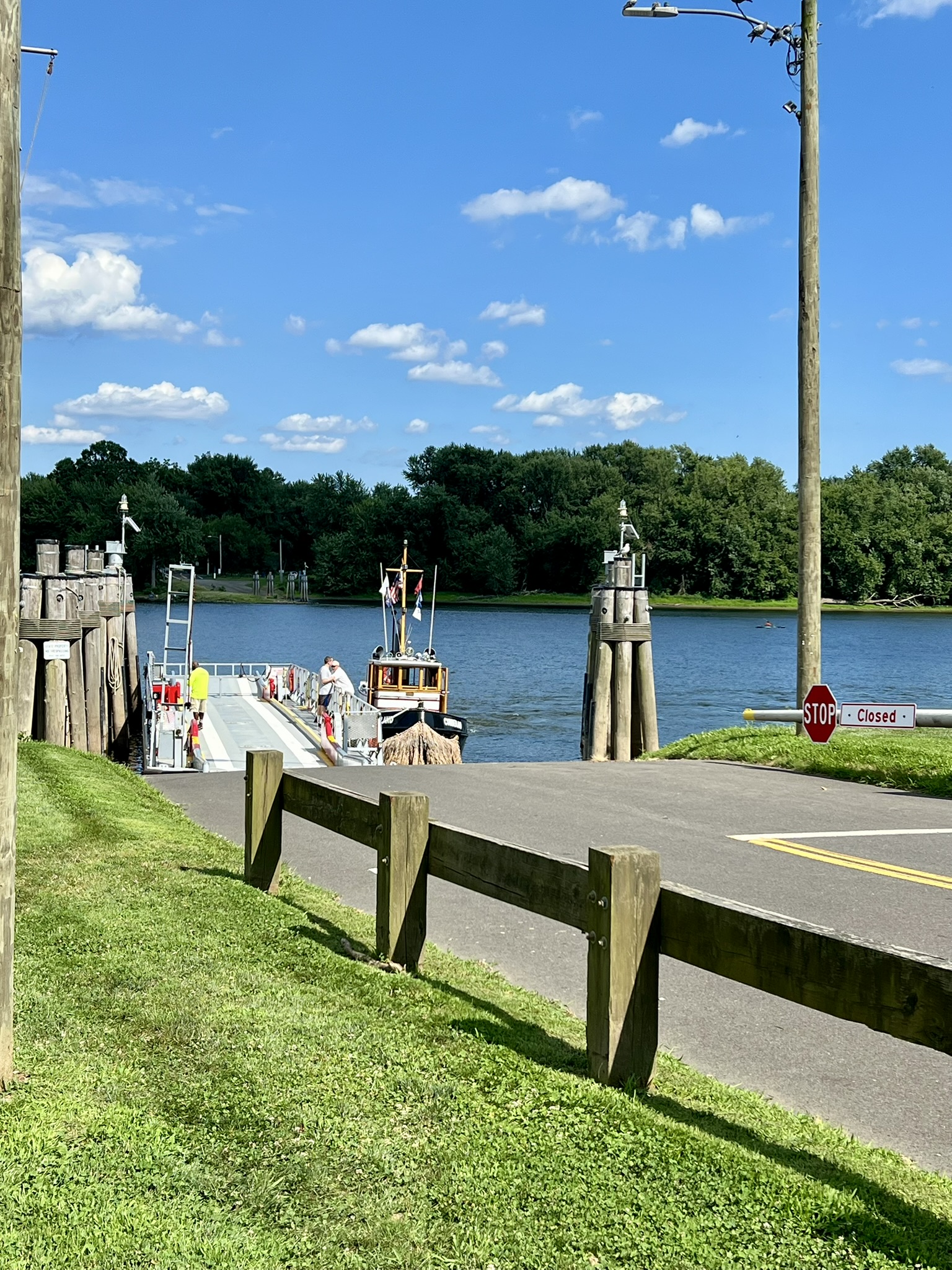
Rocky Hill/Glastonbury Ferry and the Ferry Parks
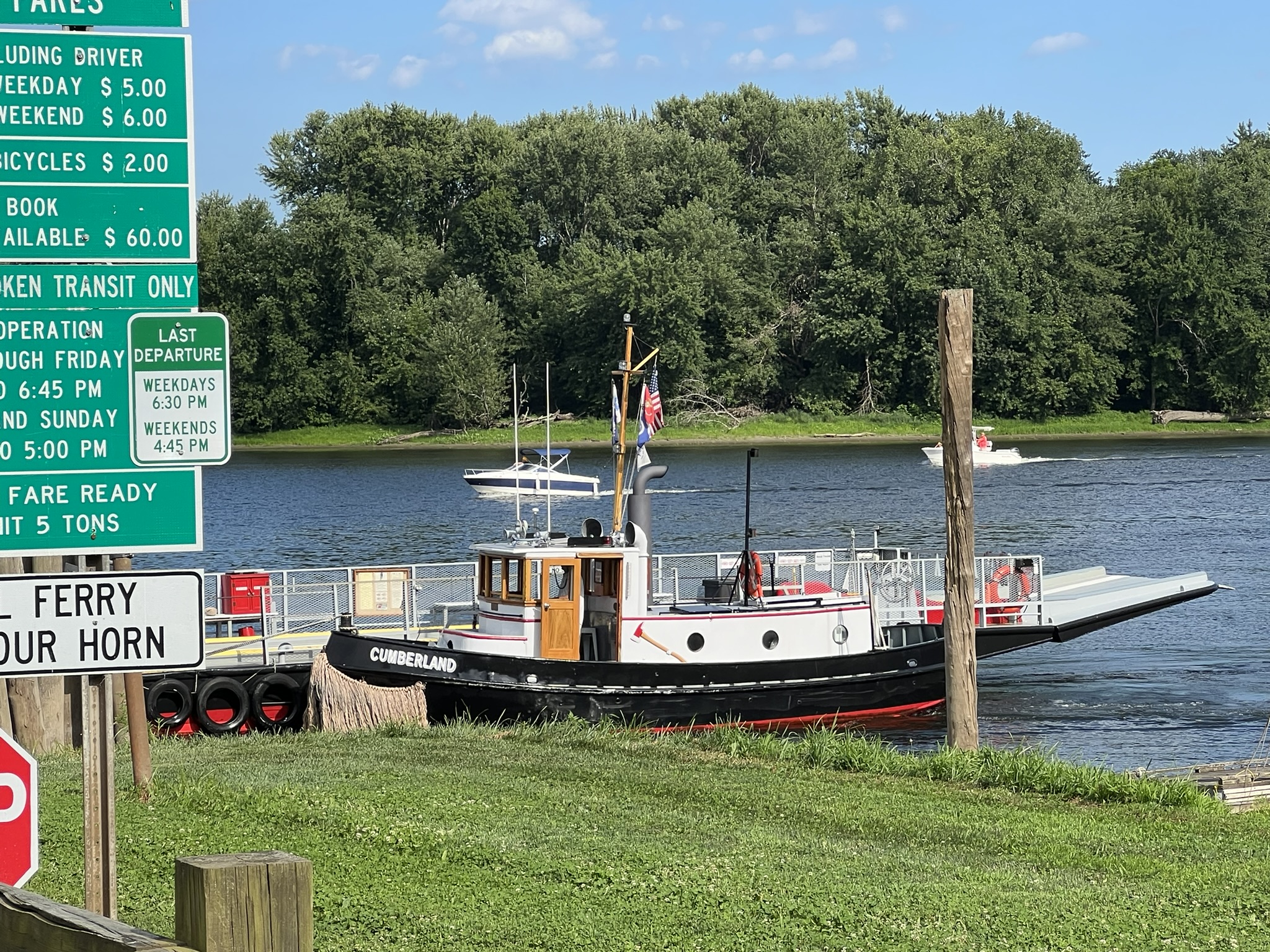
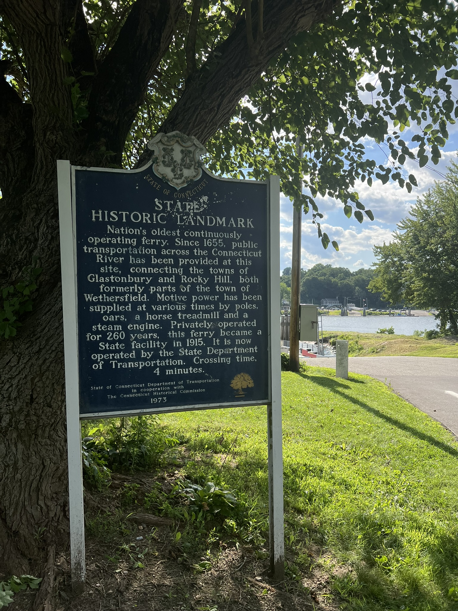
The Rocky Hill/Glastonbury ferry has the honor of being the oldest continuously operating ferry in the United States. The sign reads: “Since 1655, public transportation across the Connecticut River has been provided at this site, connecting the towns of Glastonbury and Rocky Hill, both formerly parts of the town of Wethersfield…..Privately operated for 260 years, this ferry became a State facility in 1915.” Unlike the Selden III ferry at Chester/Hadlyme, this ferry is a small barge that is moved by a tugboat. While cash and personal checks are accepted, you can buy a ticket using the Token Transit app. The ferry runs April 1 through November 30 except for Thanksgiving. Check the website for fares, hours and alerts. We started on the Rocky Hill side. Adjacent to the ferry entrance road is Ferry Park, which has a large parking area and boat ramp with access to the river. It is open from sunrise to 10:00pm and has a large, grassy area with numerous shade trees and picnic tables spaced out on the lawn. Across the street is the Ferry Grill – a seasonal food shack serving seafood, burgers and more, where we stopped for pulled pork sandwiches before boarding the ferry.
From left to right: picnic facilities at Ferry Park in Rocky Hill: the approach to the ferry; the ferry tugboat; historic landmark sign
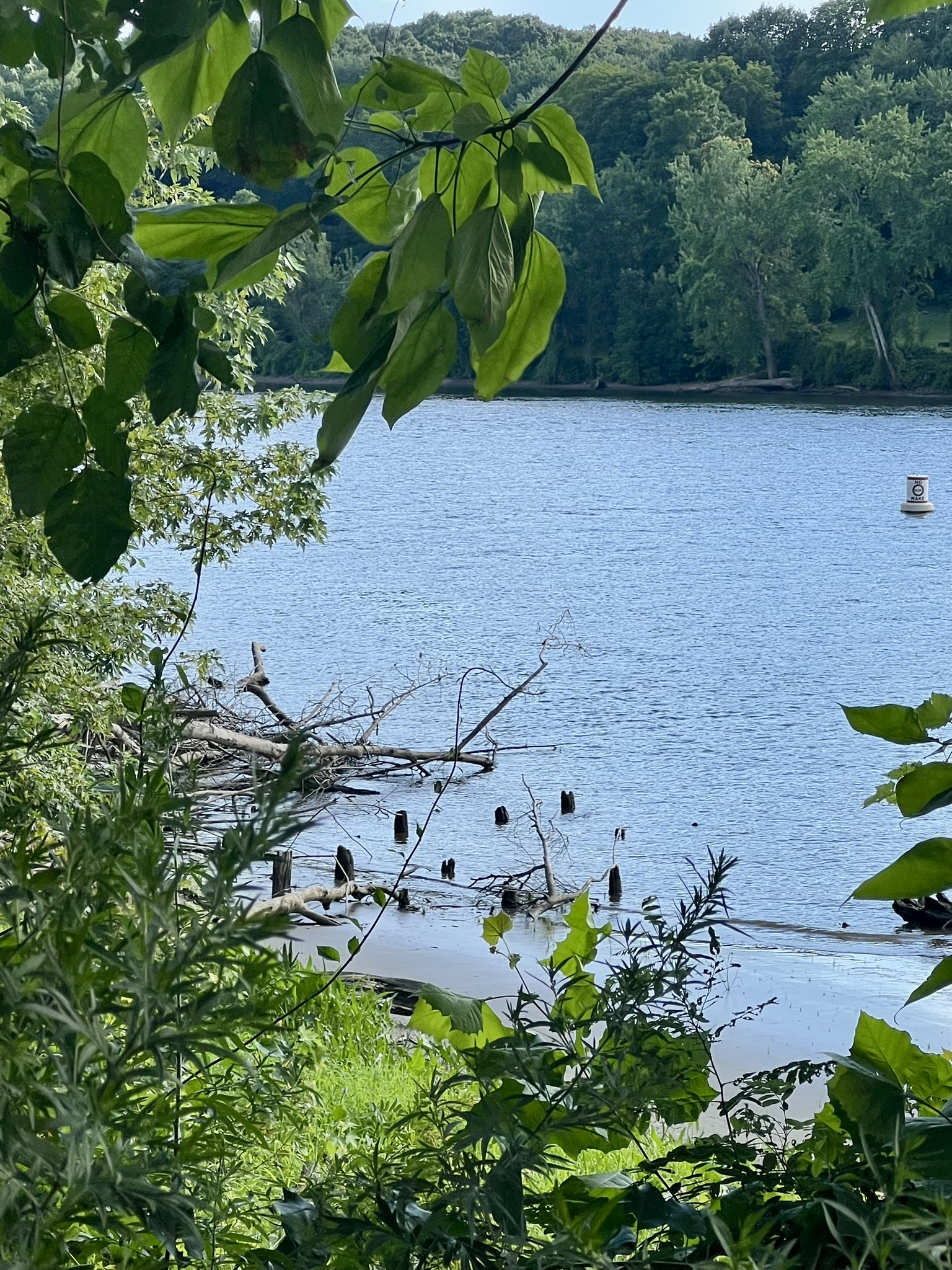
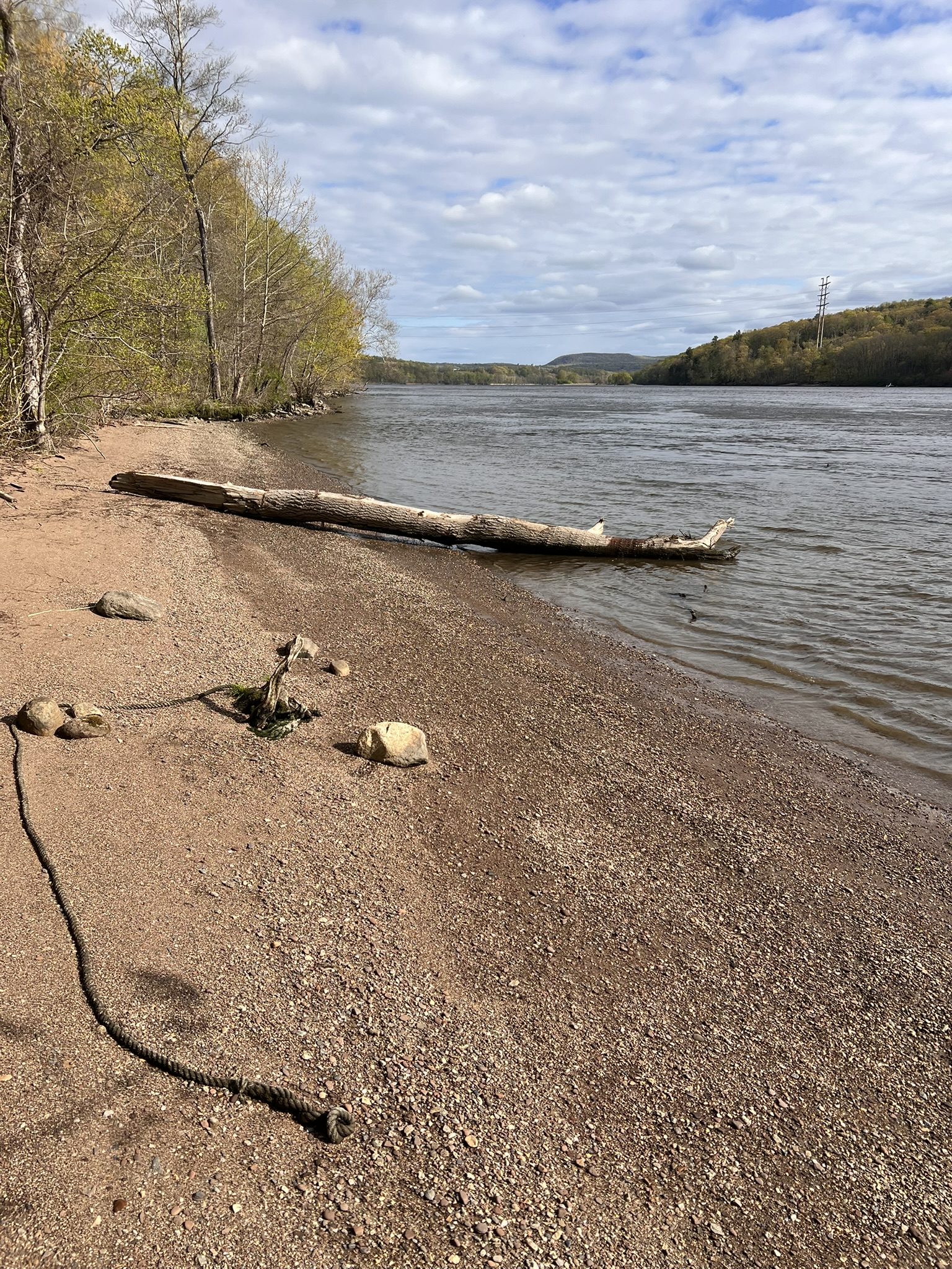
On the Glastonbury side, I encourage you to visit Ferry Landing Park before heading on your way. This little gem does not appear on Google Maps (but it does on Apple Maps). The town has a trail map on their website. This ¼ mile loop is a wide, flat, gravel path with 5 historical signboards and several benches for sitting and enjoying the river views. One of the signboards talks about the South Glastonbury dock, explaining that from “1892-1931 this dock was used for the steamboats ‘Hartford’ and ‘Springfield’. Remains of the dock can still be seen when the river is low by looking 50 yards to the south.” Sure enough, we were able to see the last remnants of the dock poking out of the water and sand.
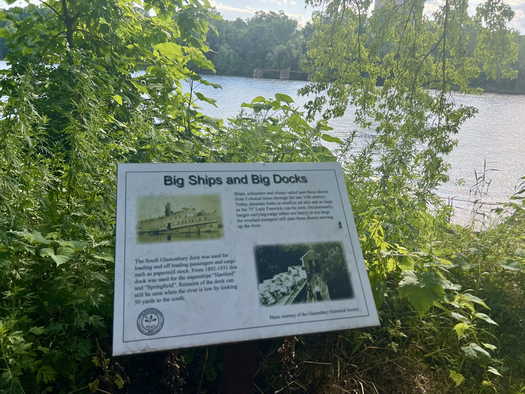
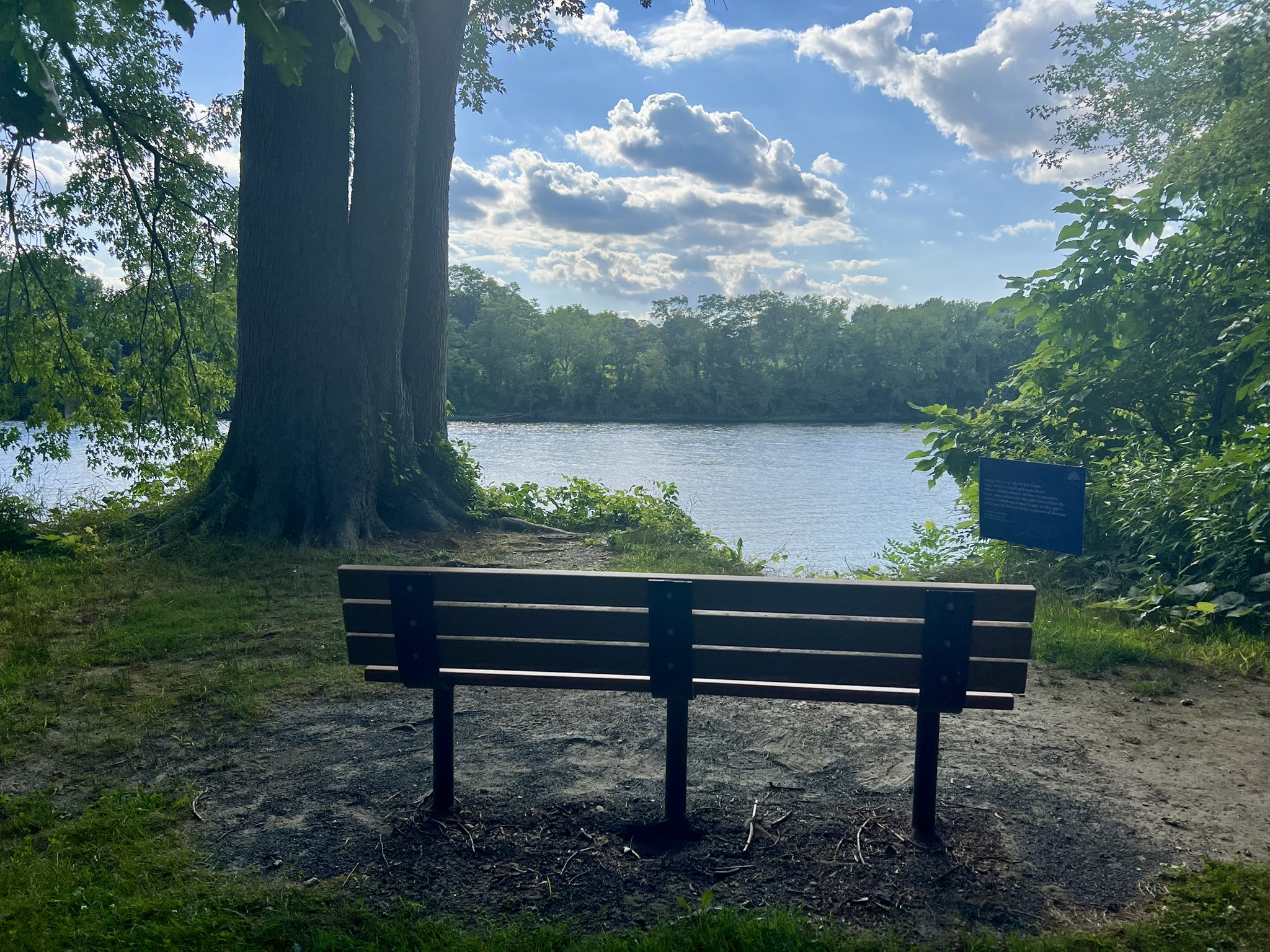
From left to right: Picnic facilities at Ferry Park, Glastonbury; one of several signboards describing the area’s history — this one on the steamboats and dock; remnants of the steamboat dock; bench
BONUS: Higganum Cove Preserve, Haddam
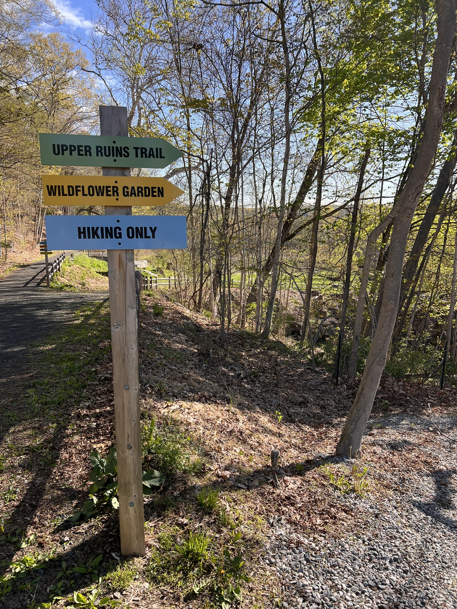
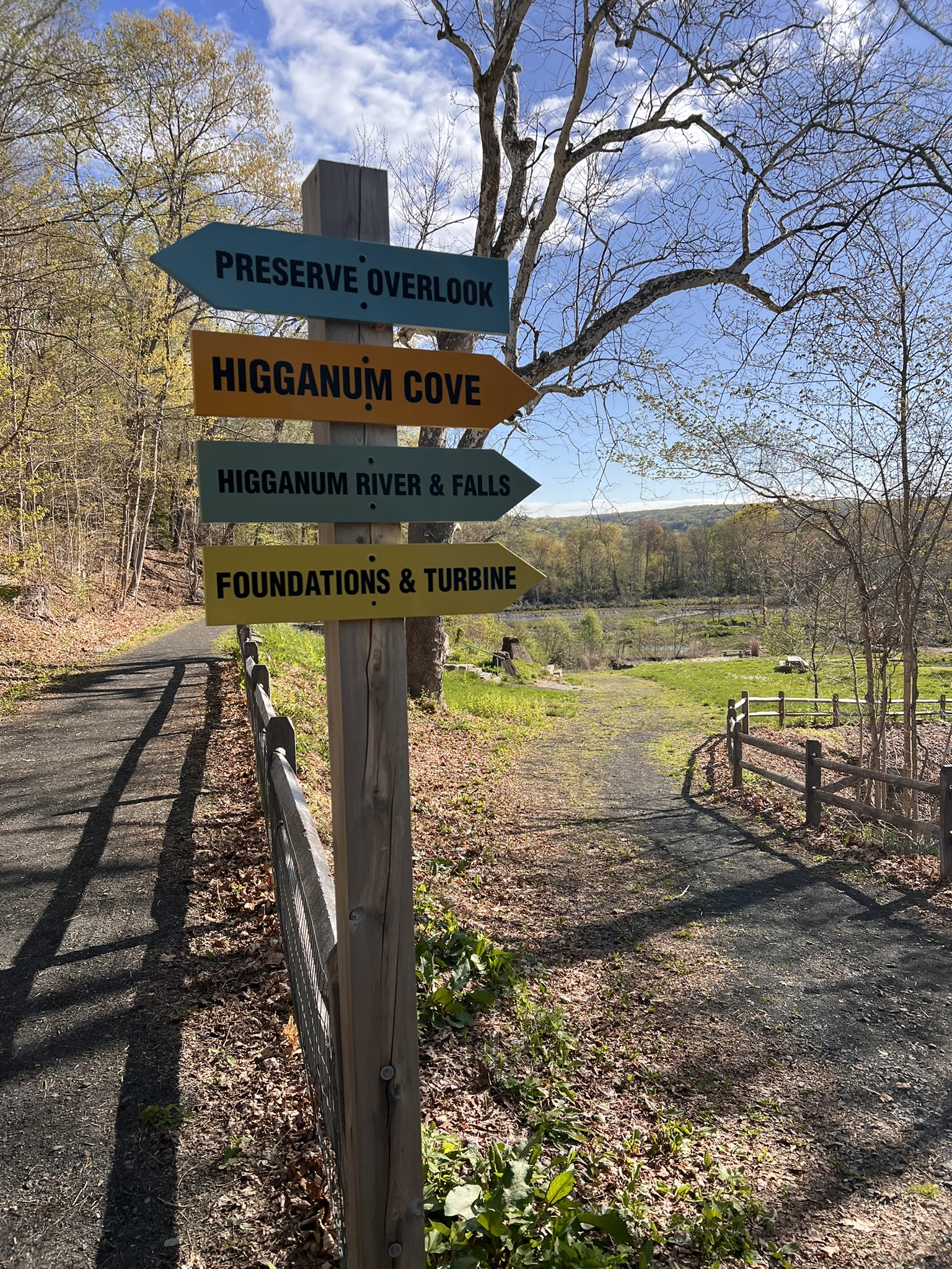
Since writing last year’s blog post I learned about Higganum Cove Preserve, located at 195 Dublin Hill Road in the Higganum section of Haddam. While this preserve already has much to offer, there are ongoing plans to develop the preserve even further for passive recreation. The 2022 Higganum Cove Master Plan has a wealth of information about the mill history of the site, the remediation that occurred to clean it up and potential plans for the future. Much of this information can also be found on the back side of the kiosk. There is a small parking area at the Preserve. There are talks underway to consider making the parking available only to residents, but the property is within easy walking distance from the village center, although there is currently no sidewalk so use caution. I visited in early May and managed to record 1.5 miles by walking every conceivable trail. There is a trail map at the kiosk which shows 3 separate trails – red, green and blue – although in the field the trails are not blazed. The Upper Ruins Trail (green on the map) is a very short loop that winds through a number of ruins and out to the sandy edge of Higganum Creek. The red trail passes alongside another set up ruins to views of the falls and of Higganum Cove.
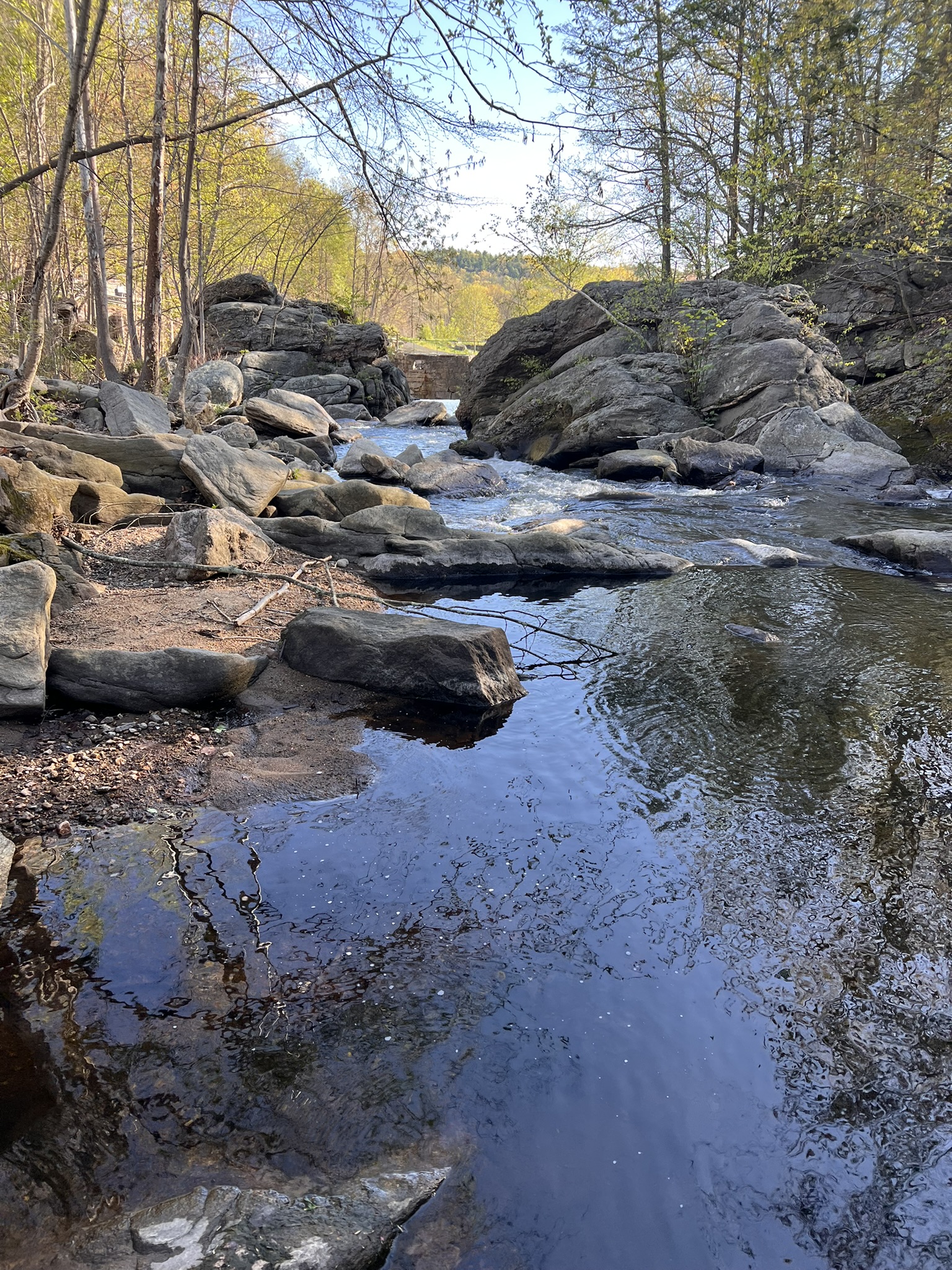
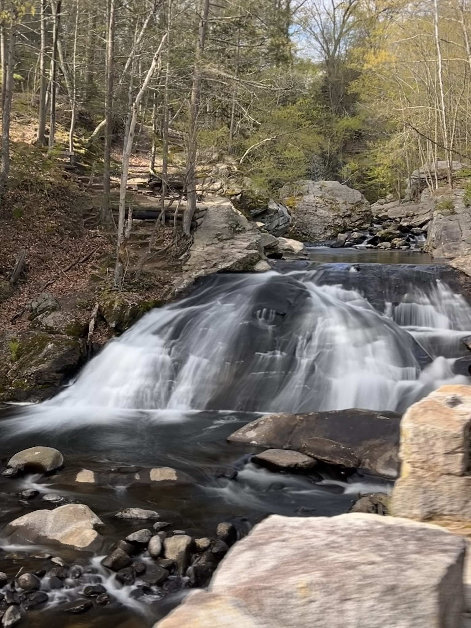
From left to right: signs for the trails by the parking lot; Higganum Creek; the signs for the trails to the cove, falls and the beach; view of the falls
The blue trail, signposted “Preserve Overlook”, leads to the edge of the Connecticut River. I reached the river at low tide, which was perfect for exploring the small beach, and allowed me to take a short path through the woods upstream to a wider, longer beach. These beaches are directly across the river from Higganum Meadows and the George Dudley Seymour State Park which I wrote about in my October 2024 Trail Talk Navigating Unmarked Trails.
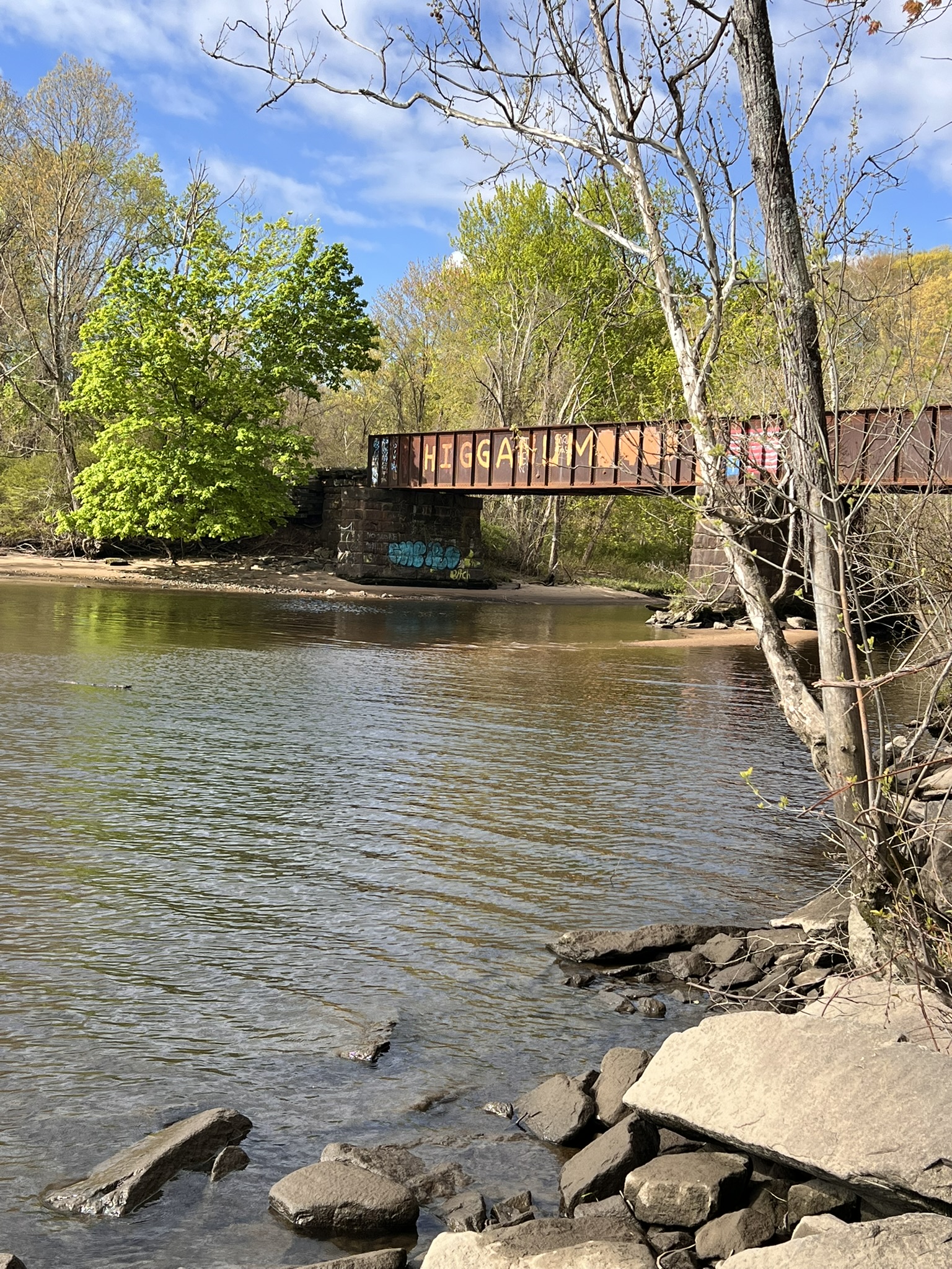
From left to right: benches overlooking the cove; the railroad bridge at the entrance to the cove; the two beaches accessible from the overlook trail
Bibliography
The Connecticut River Steamboat History, by Melancthon W. Jacobus (1956)
Night Boat to New York: Steamboats on the Connecticut (1815-1931), by Erik Hesselberg (2022)
“Thar She Goes!” Shipbuilding on the Connecticut River, by Ellsworth S. Grant (2000)
A History of the Connecticut River, by Wick Griswold (2012)
The Connecticut River: New England’s Historic Waterway, by Edmund Delaney (1983)
The First Tycoon: The Epic Life of Cornelius Vanderbilt, by T. J. Stiles (2010)
The End of an Era William Goodspeed and the Hartford to New York Steamers by Lamar LeMonte, (August, 2022)
Interview with Erik Hesselberg on NPR’s Where We Live — “A River’s Ghosts”: A Look at Connecticut’s Forgotten Steamboat Era” (2022)
Subscribe to Trail Talk
your next adventure awaits
Questions? Email me at naturenerdsramble@gmail.com or find me on Instagram @the_real_nature_renee.