In searching for trails to showcase Connecticut’s geology I stumbled upon a document created by the Connecticut Geological Survey – Department of Energy and Environmental Protection describing a “Garnet Trail” – a guide to public places in Connecticut to find garnet – first written in 2009 and most recently updated in 2022. Why garnet? Well, did you know that garnet – specifically almandine garnet – was designated the Connecticut State Mineral in 1977 by the Connecticut Legislative Assembly? Neither did I! Nor did I know the difference between almandine garnet and other types – but I have since cautiously entered the garnet rabbit hole and will attempt to synthesize what I have learned and share some highlights with you.
The Garnet Trail Guide highlights eight locations across the state where you can go in search of garnets. I chose to visit three of them, basing my selections on how well I thought they would offer a fun overall hike or walk. If you choose to explore any of these areas, please pay attention to this important note that is stressed throughout the Guide: “IMPORTANT: Please do not collect the minerals. Collecting minerals is prohibited on state land. These minerals are for all of the citizens of Connecticut to enjoy. Please be considerate of others and take nothing but photos. Thank you for your cooperation!”
First of all, what is garnet? Connecticut’s official state website explains that “garnets are actually a group of similar minerals, complex silicates of the same atomic structure, but differing in chemical composition. They vary in color from pale to dark tints, including the deep violet-red of the almandine garnet.” According to the Garnet Trail Guide, almandine garnet in Connecticut “is most commonly found in a metamorphic rock called schist.” The guide explains that garnets are typically found “in rocks that were rich in aluminum before metamorphism. Their sizes can vary, and [can] be as small as a grain of sand or as large as a marble. Besides their use as gemstones, garnets are commonly used in abrasive materials such as sandpaper and nail files, due to their hardness.”
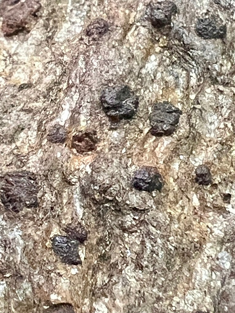
A close-up photo of garnets in a piece of schist rock. They are about the size of a small pea.
I found some additional resources that delve deeper into the science, such as the sand atlas website which further explains that “[a]s a nesosilicate, almandine is composed of isolated silica tetrahedra linked by iron (Fe²⁺) and aluminum (Al³⁺) cations.” And if you REALLY want to go in-depth, I have now listened twice to a Planet Geo Podcast on “The Geology of Garnets”. The professors who do this podcast *almost* make the above sentence (about silica tetrahedra) make sense to a layperson like me. I listened to the audio in the car, but this Spotify link also has the talk as a video.
I will leave the science there so we can hit the trails. I recommend bringing a copy of the Garnet Trail Guide so that you can read about the specifics of each hike in the field (I brought a physical copy of the pages for the specific hike with me because I am old school, but a digital copy also works). Please know that finding garnets in the wild can be a bit underwhelming. First of all, for a layperson they can be very hard to find. They are generally small, and in their rough form, quite dull. Therefore, I encourage you to approach this with low expectations, and as a type of scavenger hunt within a broader nature outing. With this frame of mind I thoroughly enjoyed my expeditions.
Hammonasset Beach State Park, Madison. 3 miles.
I normally visit the eastern end of the park at Meigs Point, so I was eager to explore the western reaches of the park near the jetty and inlet, where the trail guide says you are most likely to find the highest concentrations of the garnet-bearing pink sands. The Garnet Trail Guide, includes a satellite photo of the area in question (see page 37). This was useful in conjunction with the DEEP Hammonasset Beach State Park Trail Map to navigate to the right spot. You can gain access by driving to the Camp Store and walking along the beach from there. I chose to do a longer walk encompassing more of the park.
I arrived a little after 6:30AM on a mid-June morning. Since the park gates don’t open to vehicles until 8:00AM, I parked in the Shoreline Greenway lot and walked in from there. Since some of this walk is along roads, I enjoyed being there before the gates opened. After crossing the entrance road, I stayed straight and followed the signs to the Camp Store. Just before reaching the store there is a bridge over one of the inlet tentacles and a bench. This is a lovely rest spot. Continuing past the store, I left the road and walked onto the beach.
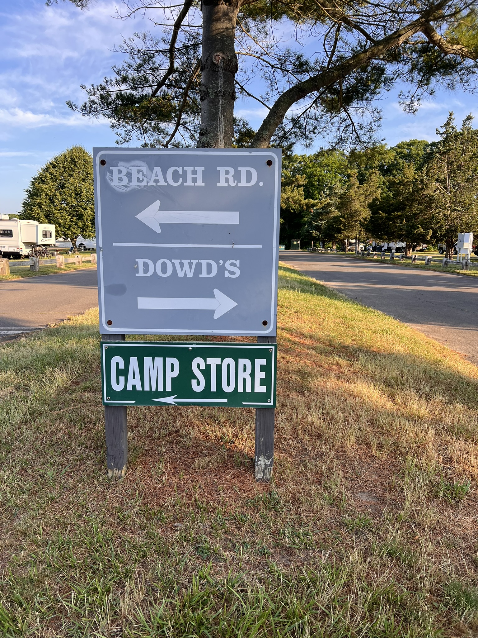
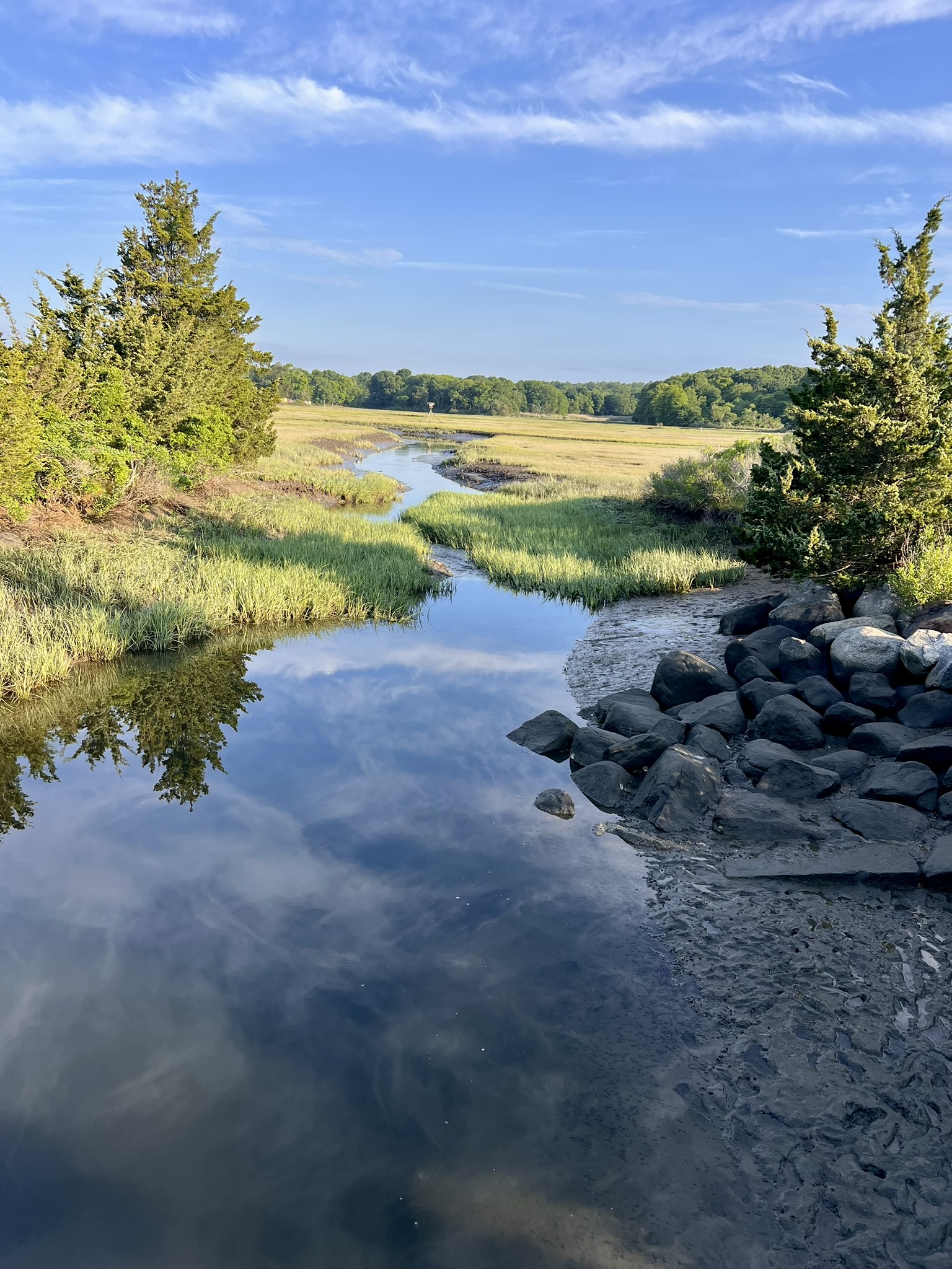
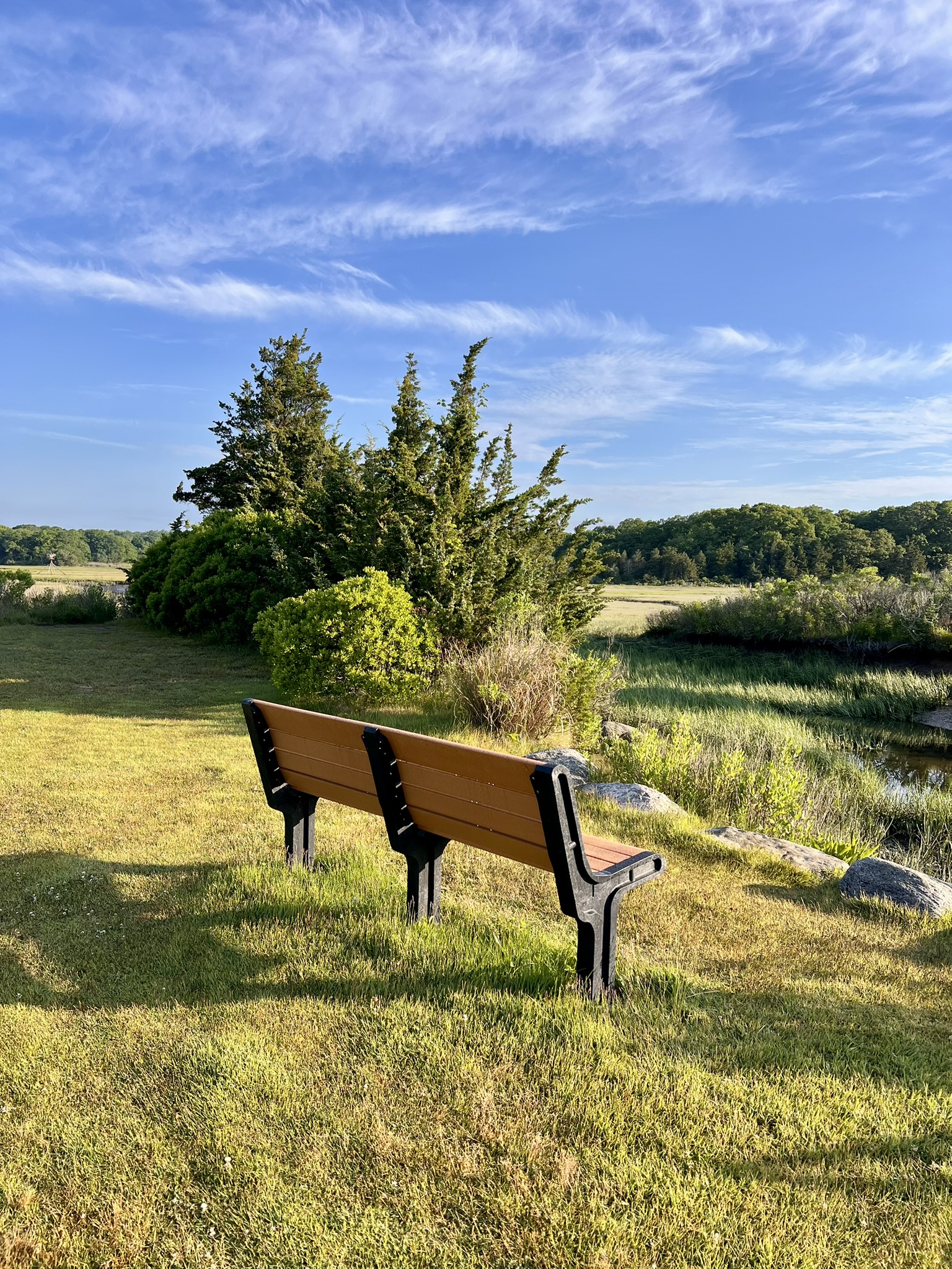
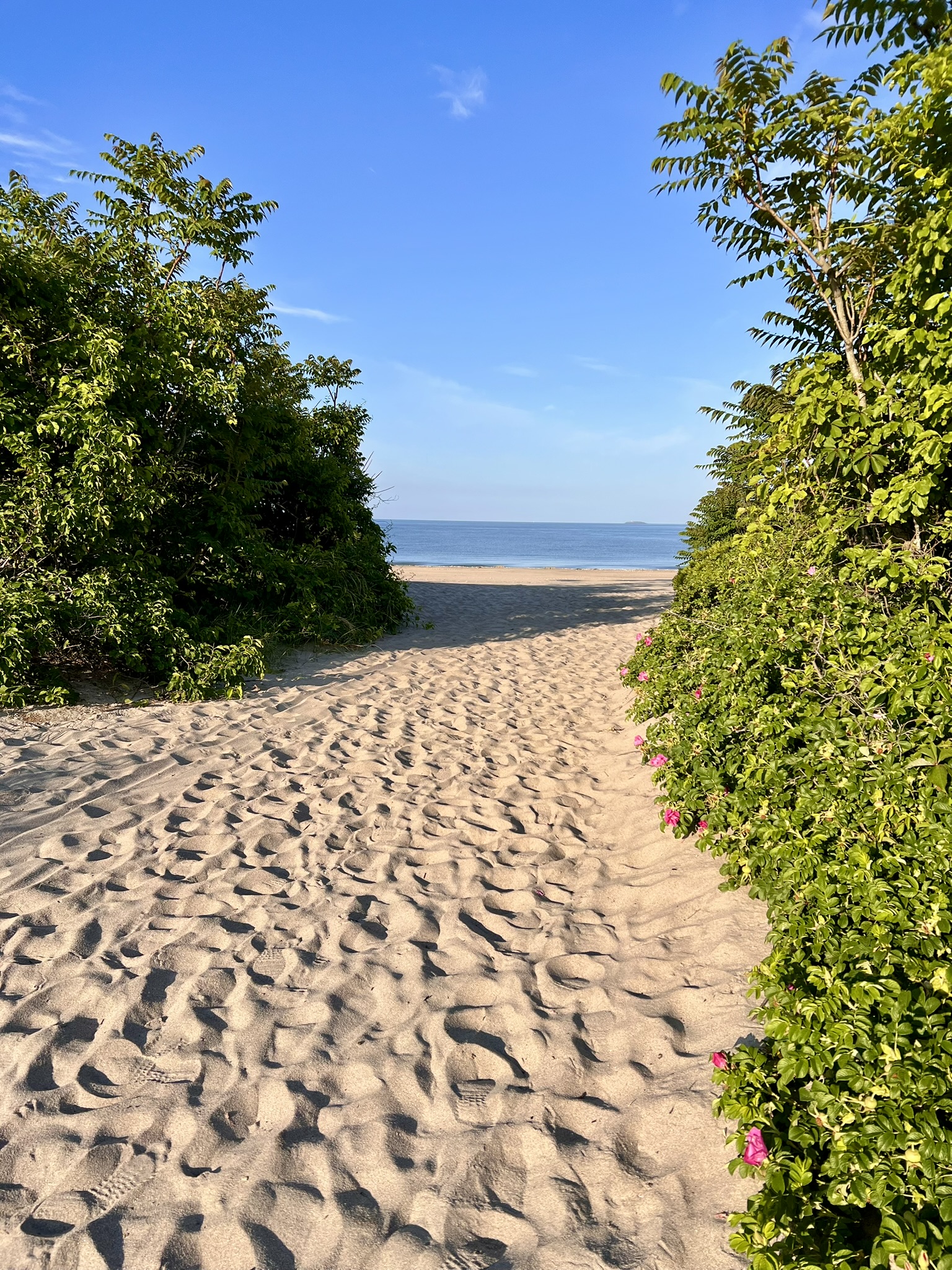
From left to right: follow signs to the camp store; the scenic inlet with the contemplation bench; the pathway to the beach
The guide explains that sometimes “the concentrations of garnet result in the beach having an intense pink color”, so as I headed west toward the stone jetty (sometimes referred to as the Fishing Pier in the Guide) I started looking for this pink sand. While not obvious to me at first, when I reached the jetty, I noticed a distinct redness to the sand pushed up against the vegetation. There are supposedly black grains of magnetite mixed in. The document explains that the “garnet and magnetite are concentrated because they are denser than most of the sand grains on the beach.” This means that they tend to stay put while the lighter grains get washed or blown away. I abandoned the sand briefly to explore the tidal marsh side. Walking around the backside looking into the marsh I enjoyed a quiet moment listening to the birds. I then walked out to the end of the jetty on the ocean side. At that hour I had the beach mostly to myself.
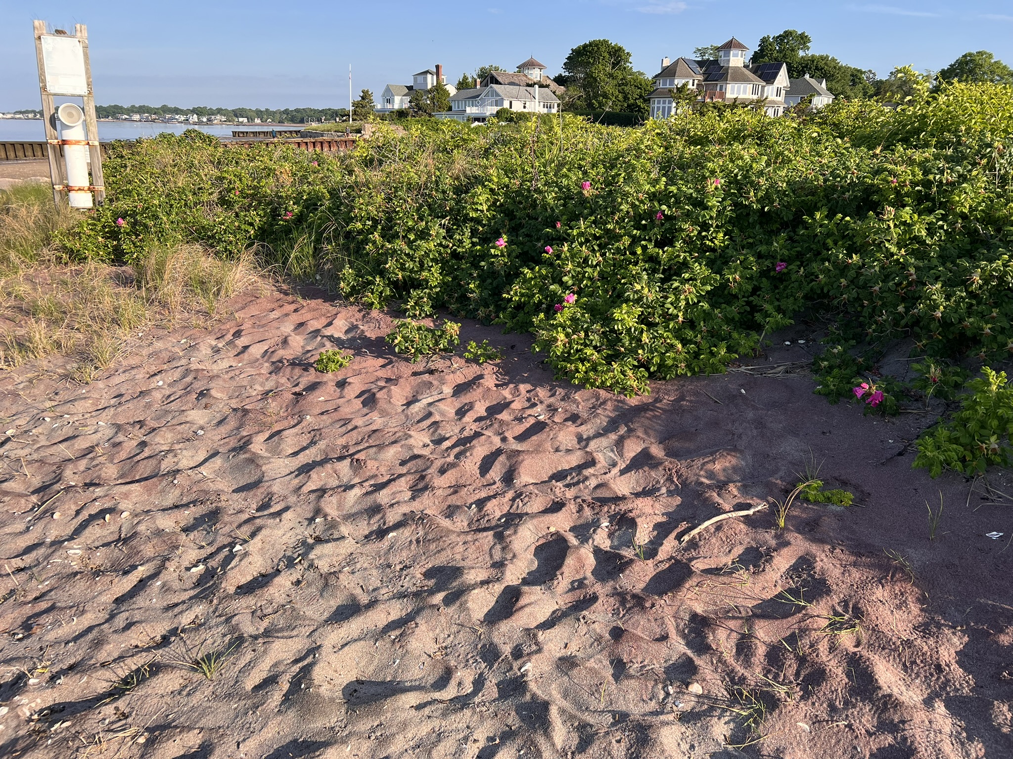
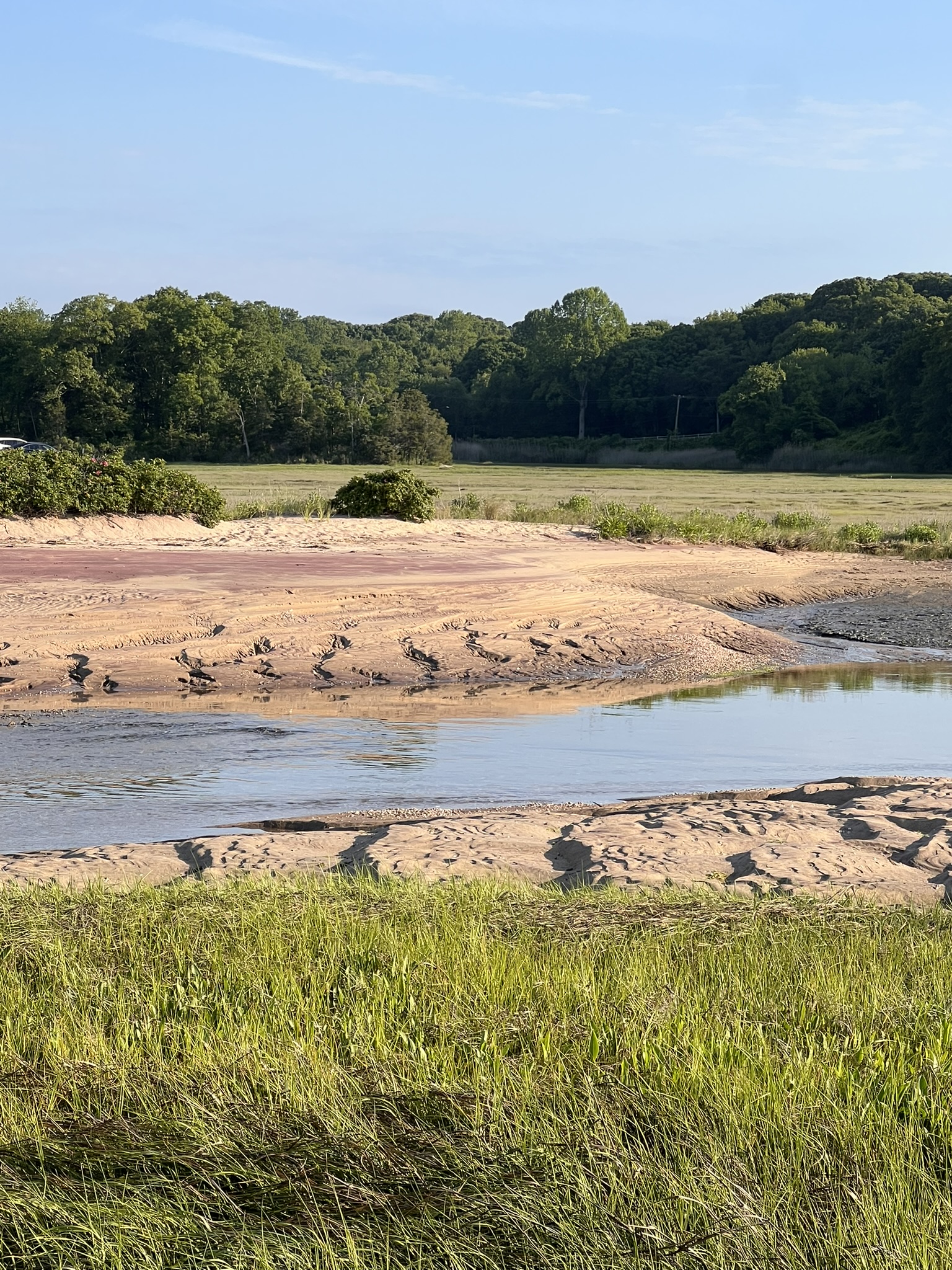
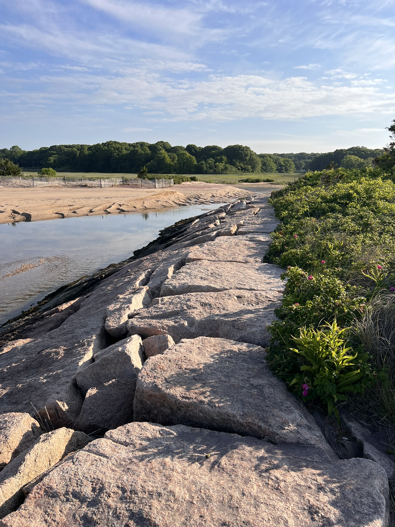
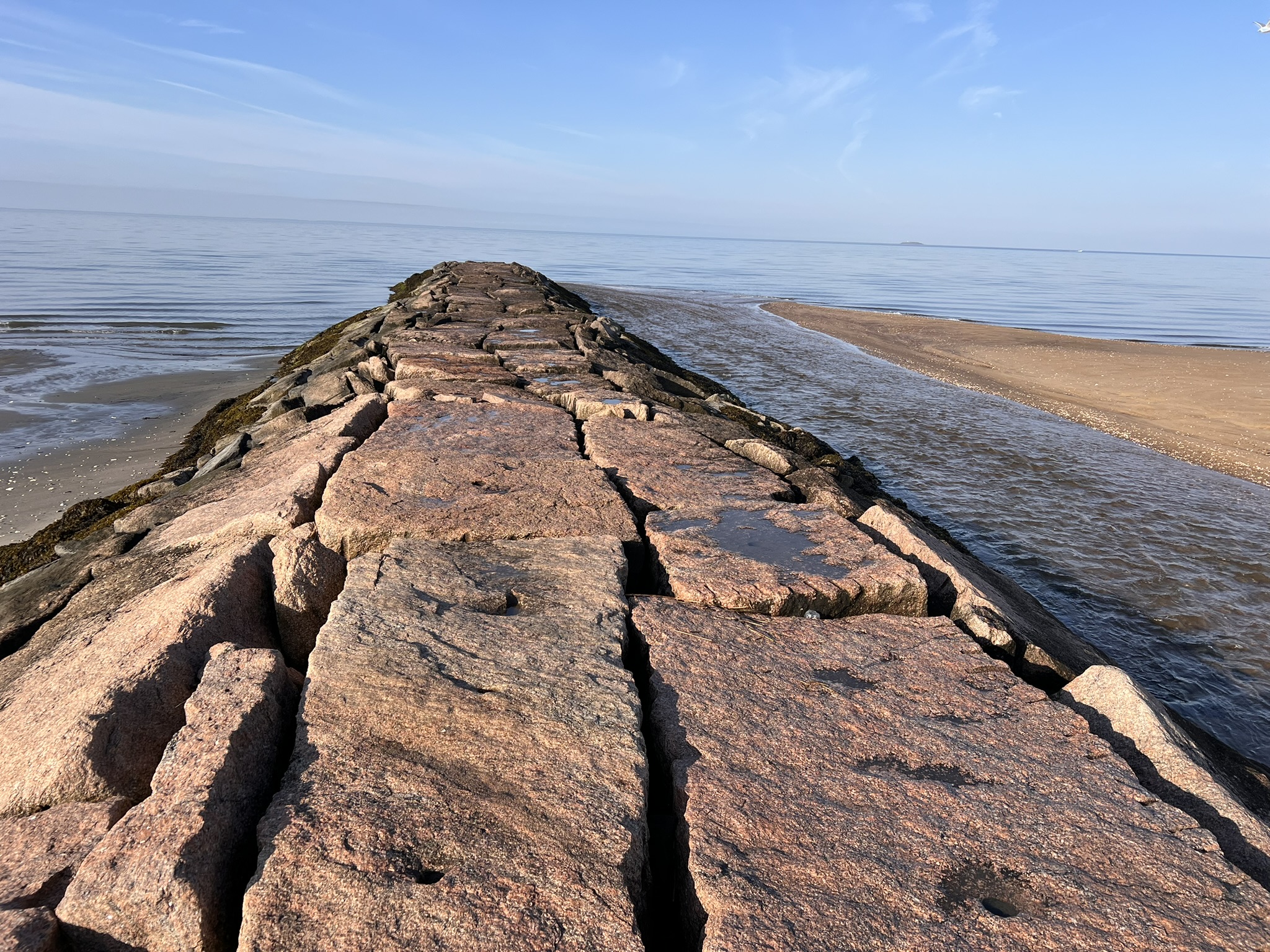
From left to right: The sand pushed up against the vegetation was distinctly pink in color; a band of pink sand across the inlet; the back side and ocean side of the pier
I chose to walk along the beach for a while. Now that I knew what I was looking for, the variations in color in the sand became more obvious. While you can extend your walk by continuing east to Meigs Points, I chose to make my way up to the middle parking lot and before the rotary tucked in by the stand of cedar trees and large pond. From there I walked through the campground and made my way to the exit just as the park was opening to cars.
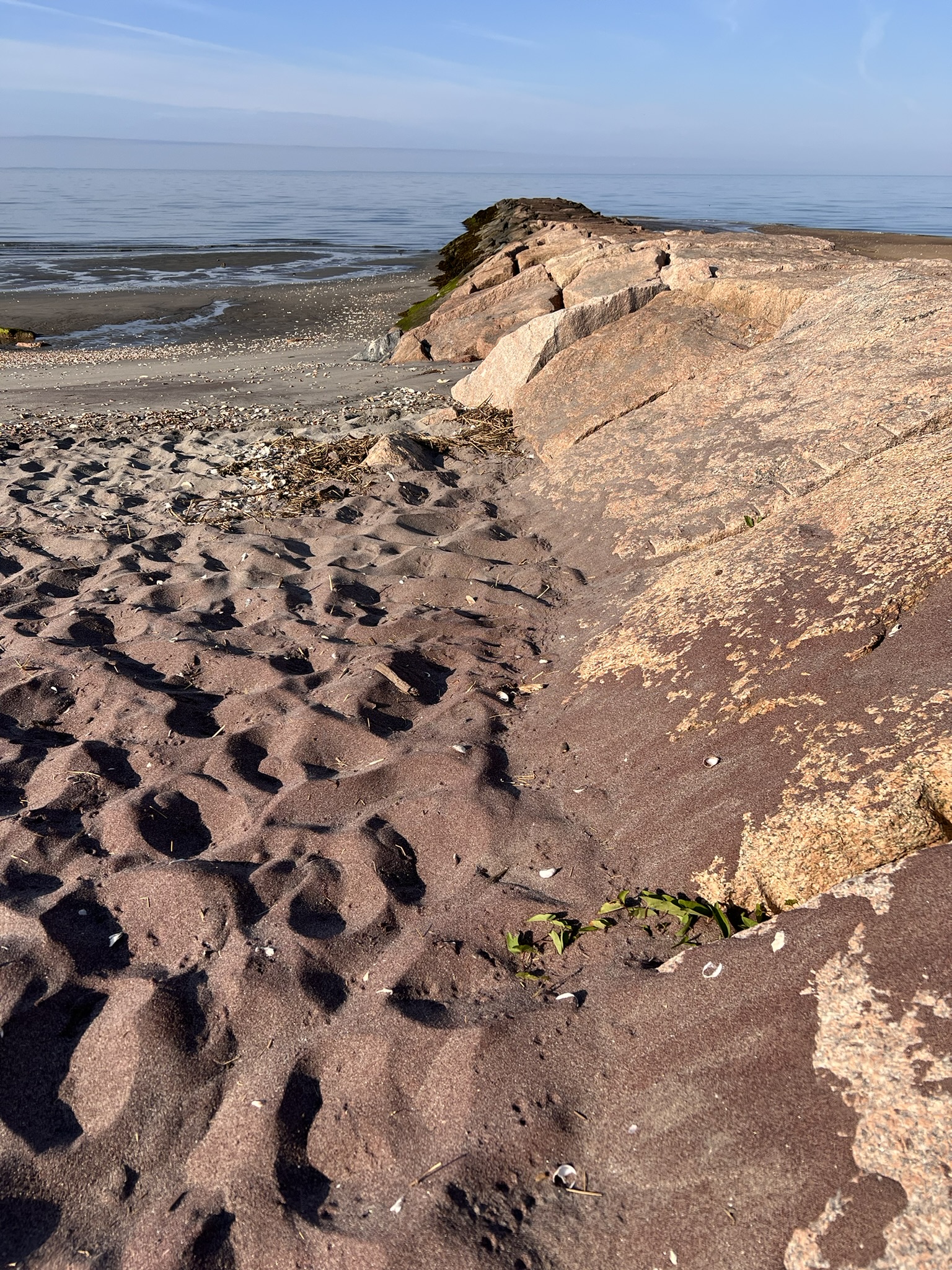
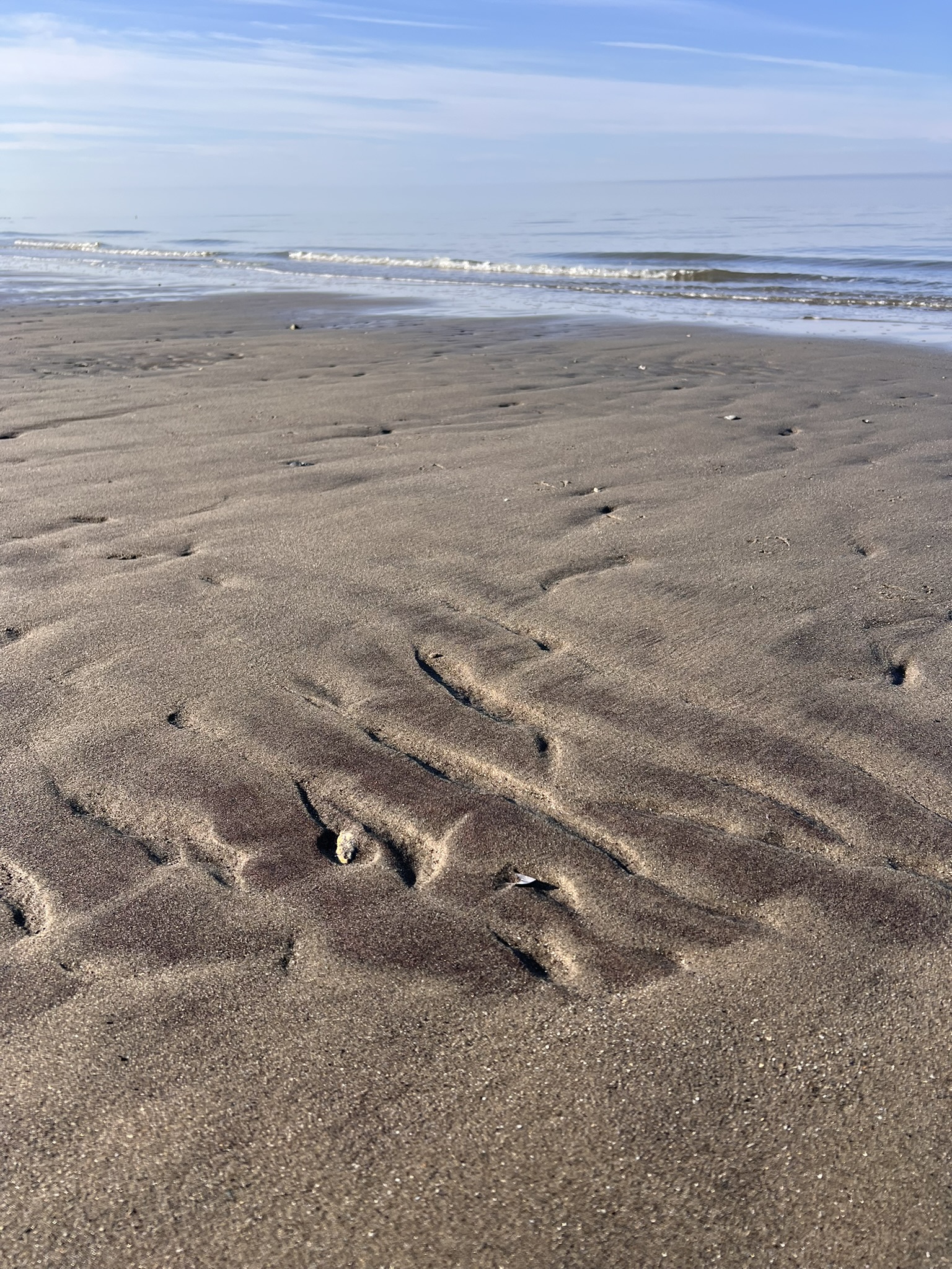
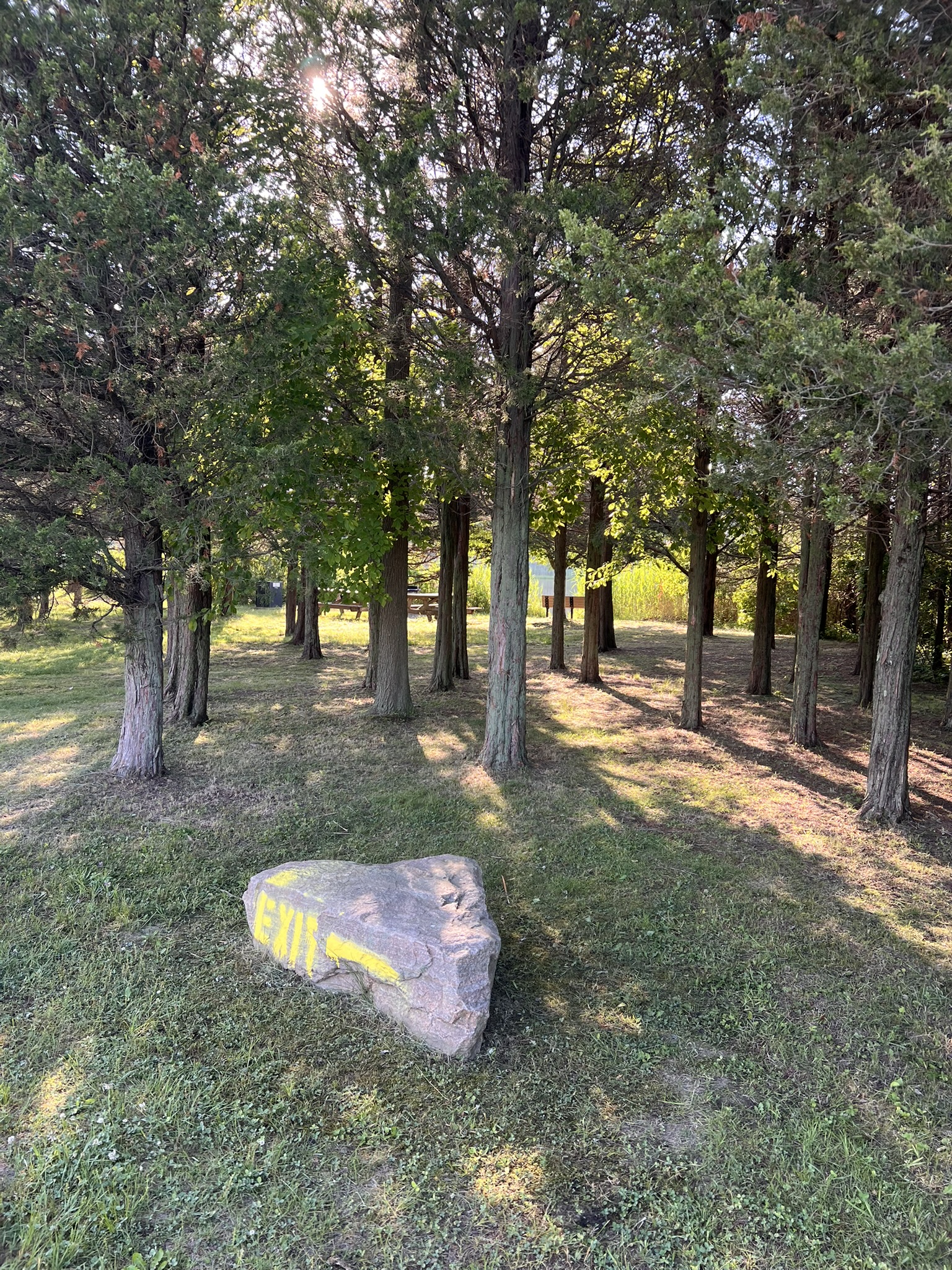
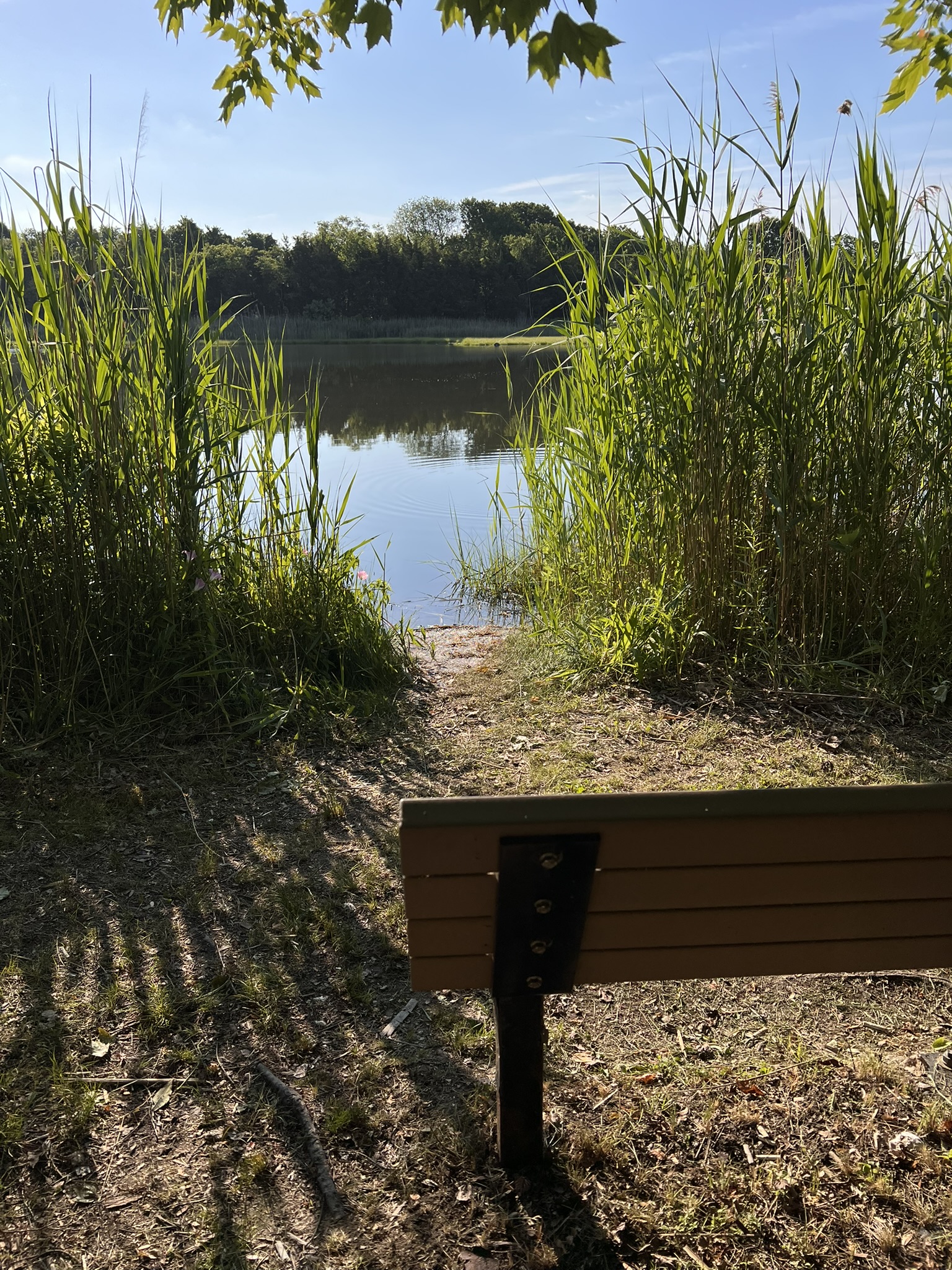
From left to right: the pink sands became more visible to my eye along the jetty and in the ripples; a cedar grove next to the pond; contemplation bench by the pond
Quartzite Hill, Stafford. 2.1 miles with 360’ of ascent.
This hike is the first one listed in the Garnet Trail Guide. The hills in this area are part of the Clough Quartzite. The guide explains that the “hills stand high because the quartzite here resisted erosion from the glaciers during the last Ice Age better than the schist and gneiss of the overlying and underlying formations.” As such, there are some cliffs, so the guide stresses the need to exercise caution, especially if you go with young children.
The parking is on Crow Hill Road in Stafford, CT. The guide provides the GPS coordinates N. 42′ 01.254’, -072′ 20.322’ and the written directions state: “Follow Crow Hill Road about 1.25 miles and, nearing the top of a grade after a sharp left curve, find a parking area on the right at a Forestry Department service road.” Through some sleuthing, I found an AllTrails hike called Rattlesnake Hill Trail that starts from the same parking area. While I did not do the Rattlesnake Hill hike, you could add it on for a longer outing. The parking is a dirt pull-out with space for a few cars. Please do not block the gate. PLEASE NOTE that hunting is allowed in this area so wear bright orange during hunting season. I visited in late July with a friend who has fond memories of garnet hunting as a youngster, which was very helpful because this was my first attempt so I only had a concept of what I was looking for. We followed the forest road for about ¼ mile, taking a left onto another forest road (this is where our route diverged from the Rattlesnake Hill hike). This road heads west and then swings north. We continued north for around ¼ mile and looked for a trail on the left branching off the forest road. At this junction we noticed a lone Garnet Trail sign nailed to a tree on the right hand side of the trail. We followed this trail as it climbed and curved back south. Watch for the large glacial erratic. The guide suggests that we’d find garnets in abundance at the top. Unfortunately, we did not, so it was a bit anticlimactic! However, we did spot some garnets on the way up and on the way down.
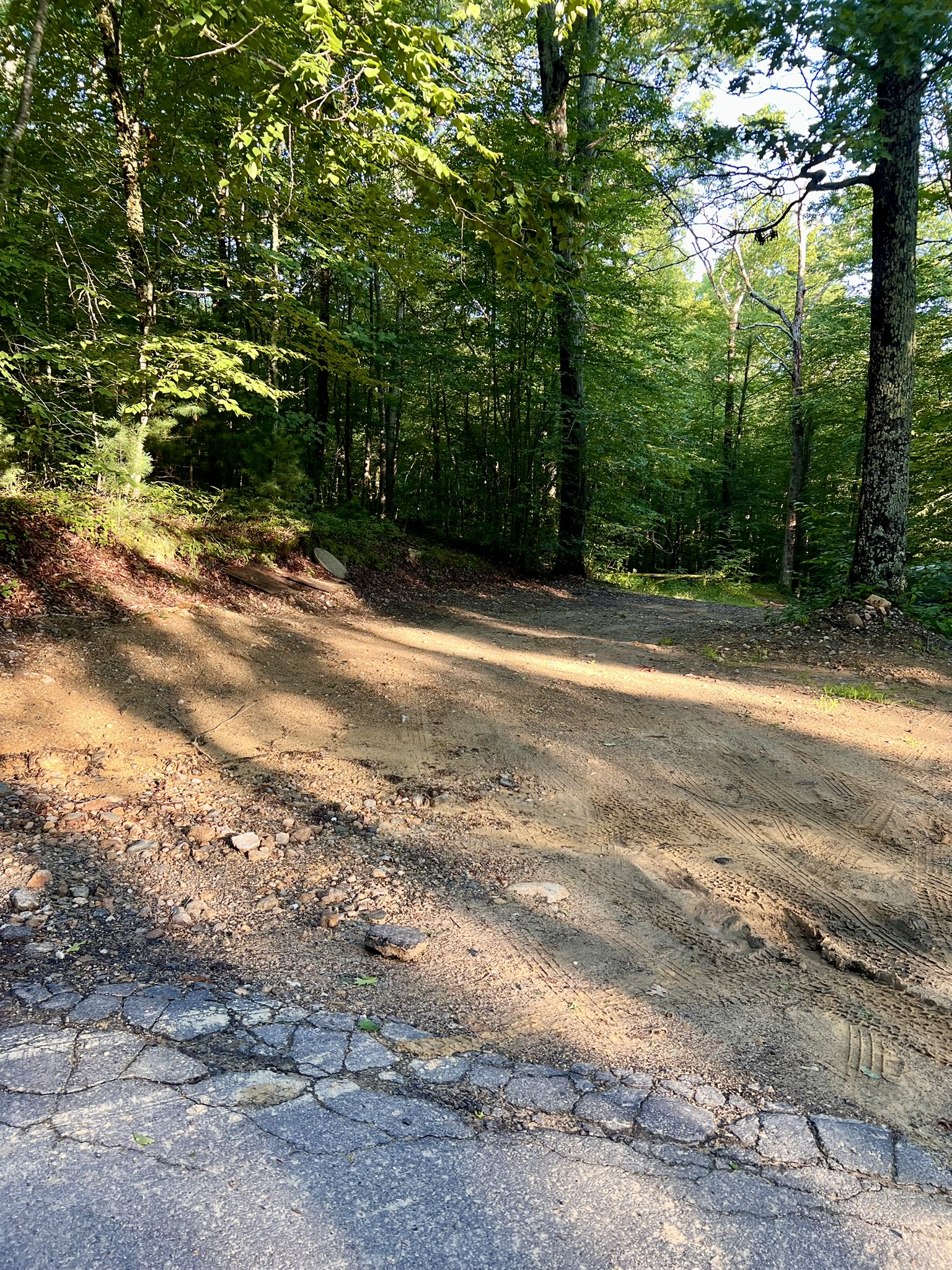
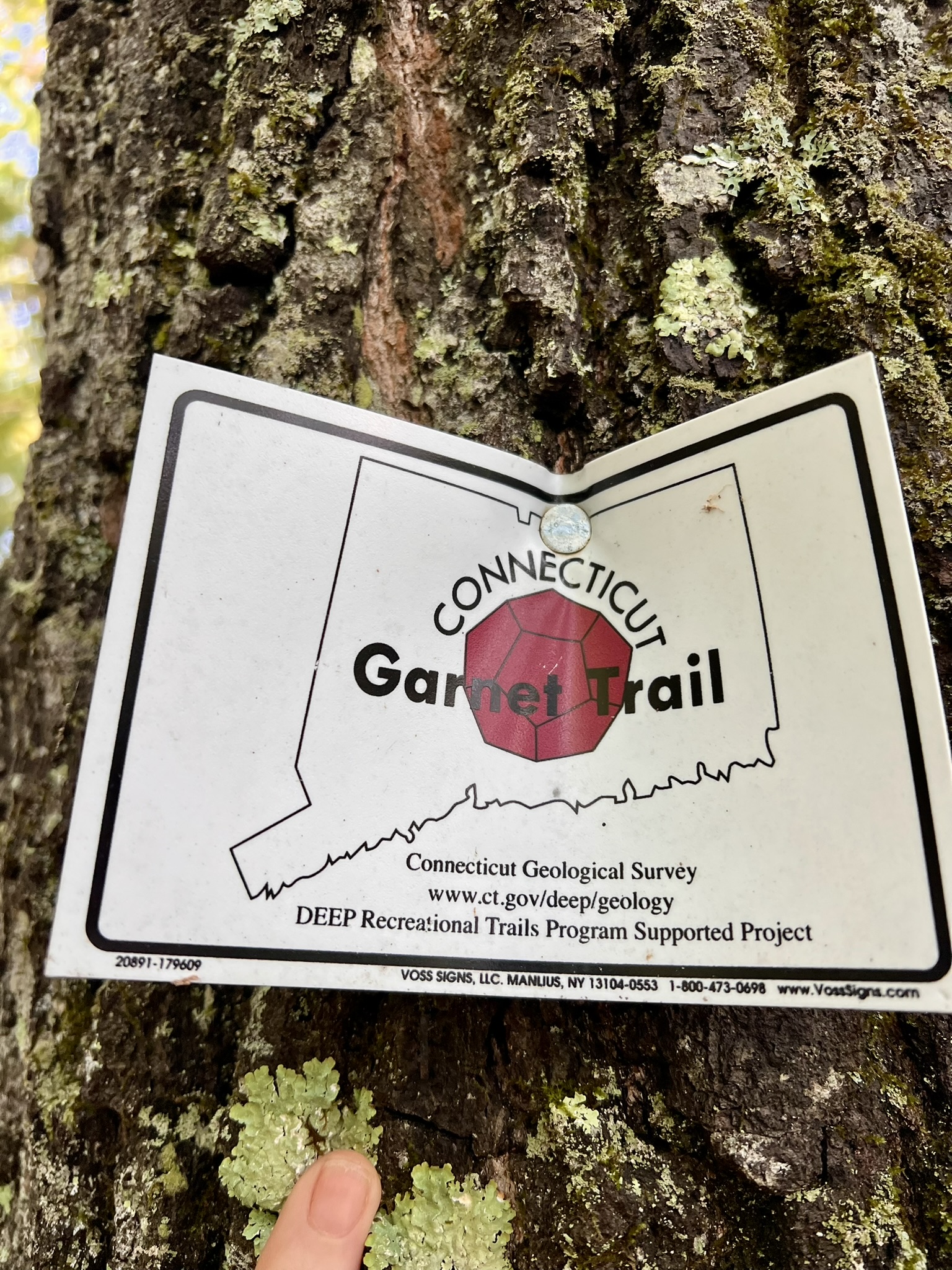
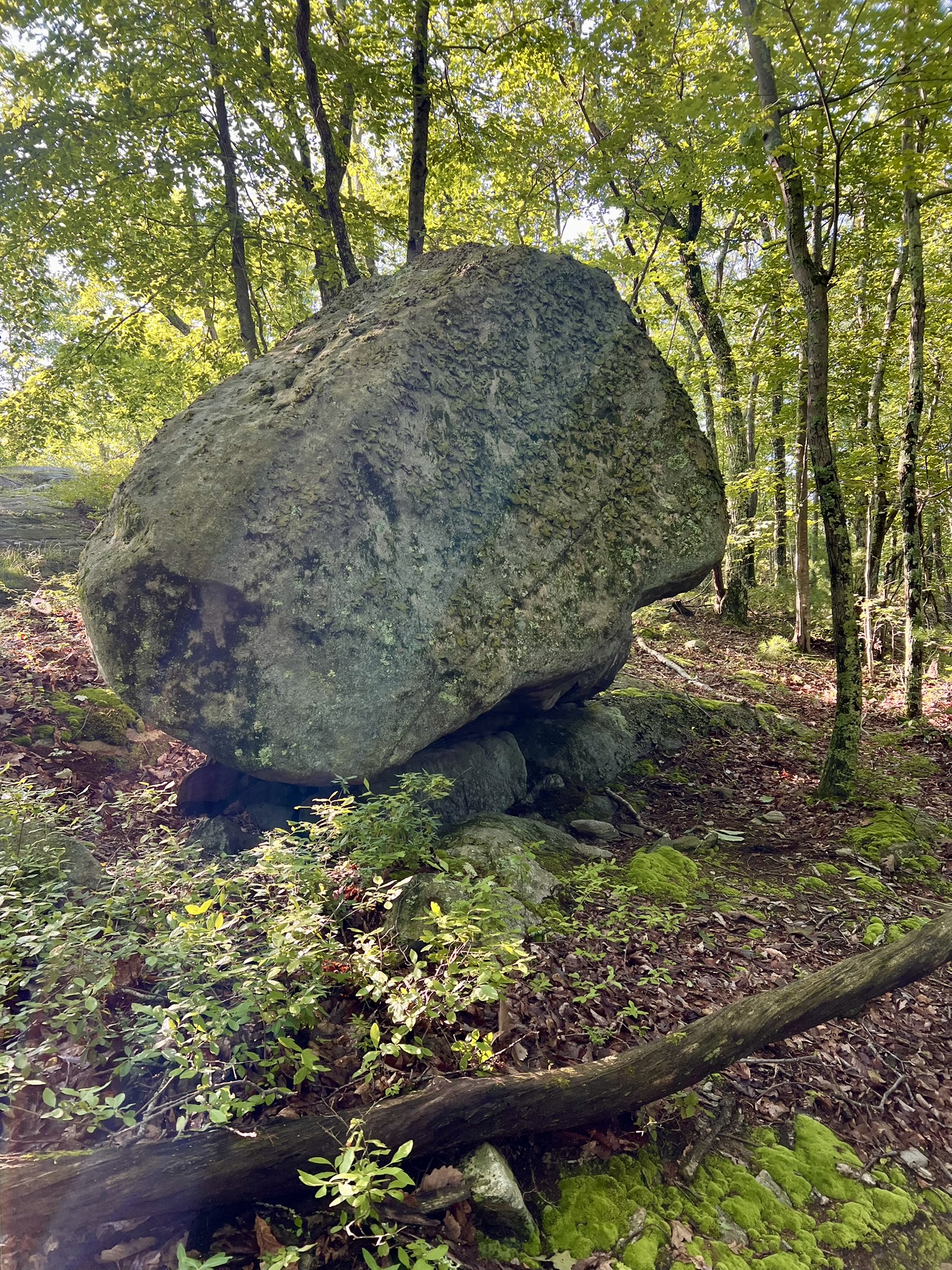
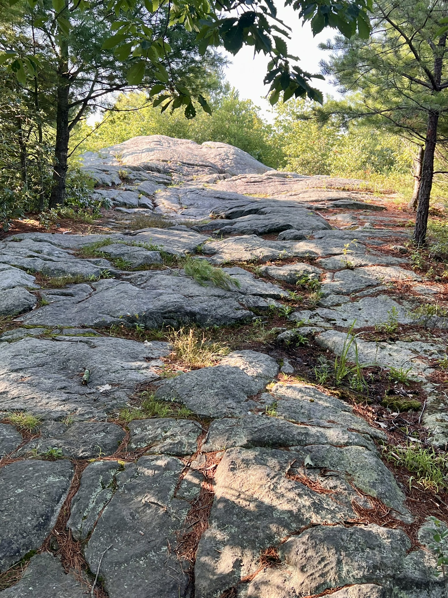
From left to right: View of entrance to parking with gate in background; Garnet Trail sign; Glacial erratic; the approach to the hilltop
At the top, I was most impressed by the U-shaped rock layers. The guide says that “[t]his fold formed when the rock layers were deeply buried, allowing them to reach high temperatures. Because they were hot, instead of breaking or crumbling, they buckled. If you look carefully at the ledge in this area, you will find there are many small and mid-sized folds in the rock.”
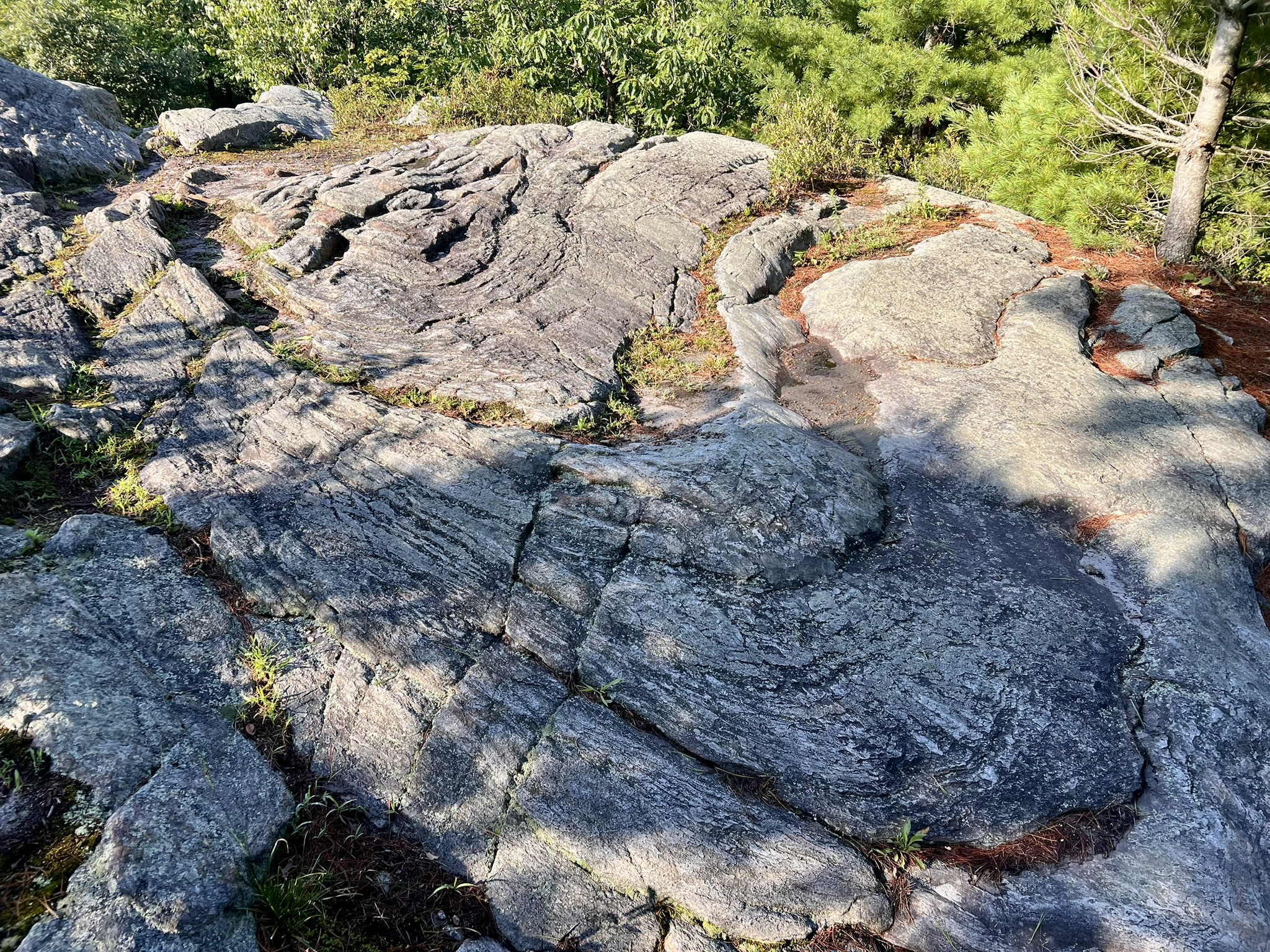
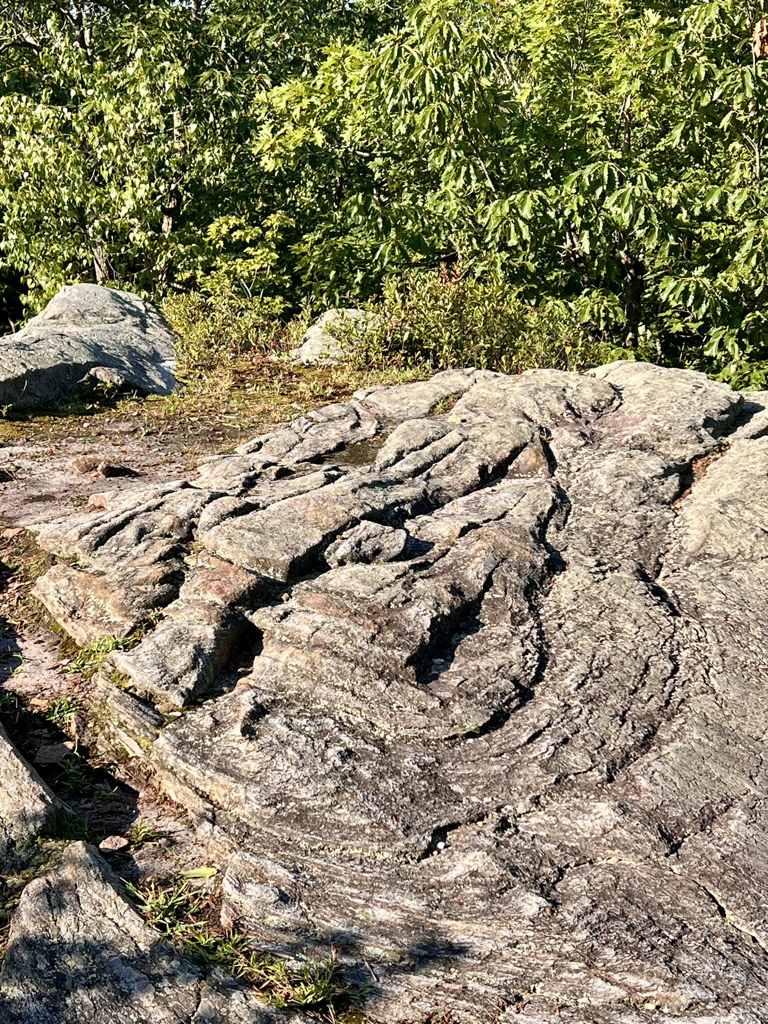
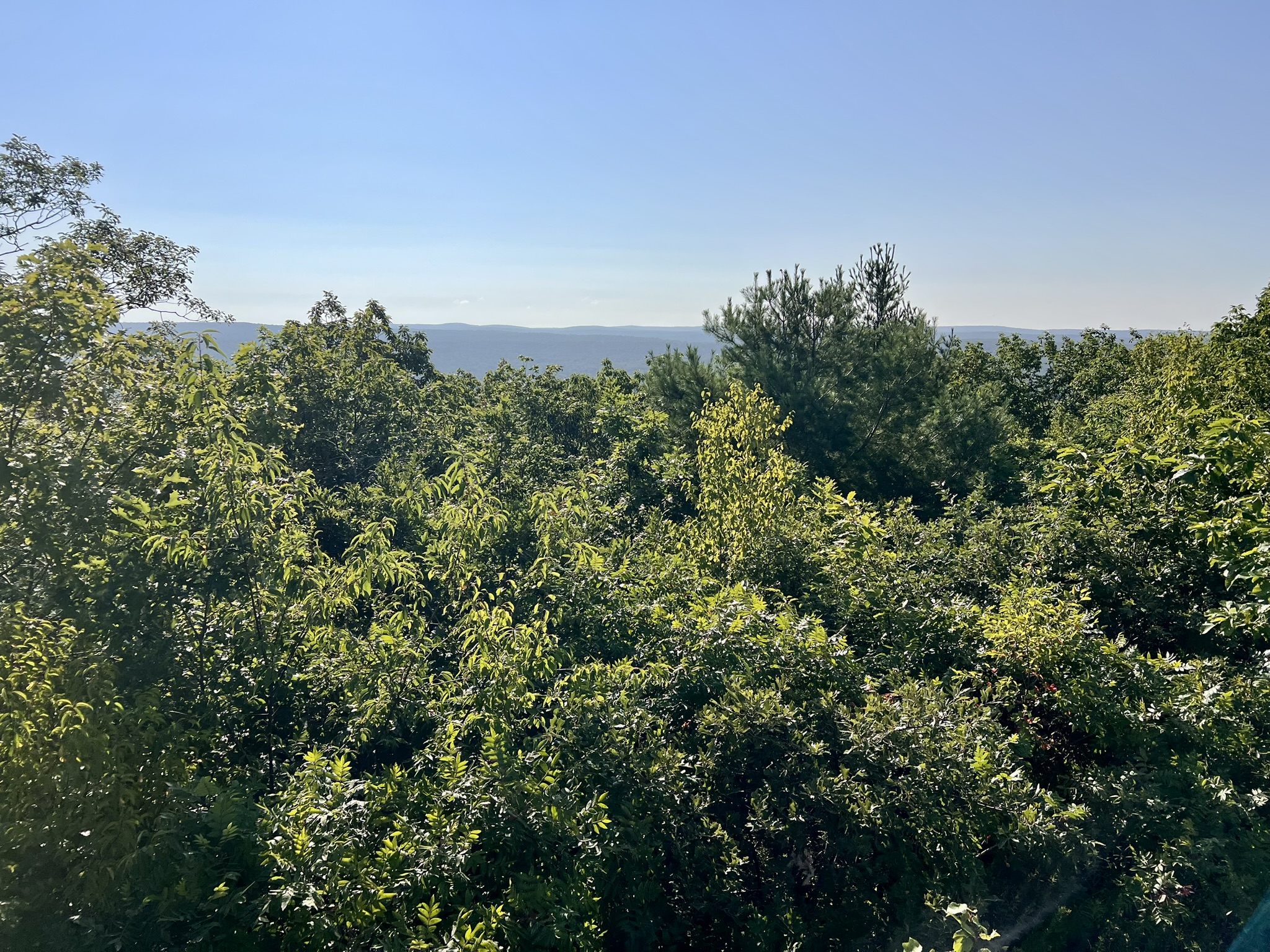
From left to right: different viewpoints of the folded rock; view from the top, partially blocked in summer
We continued along the trail as it headed downhill in a southerly direction and opted to take the Alternate Route described in the guide. Along the way we saw numerous quartz studded rocks. We located the ledge that drops down and the trail below the ledge that heads west across a small bridge. When there were trail options we trended southeast. Since all the trails are unmarked, AllTrails was helpful for navigation back to Crow Hill Road. All the southerly paths eventually come out on Crow Hill Road, but we were aiming to limit our road walk to the shortest distance possible.
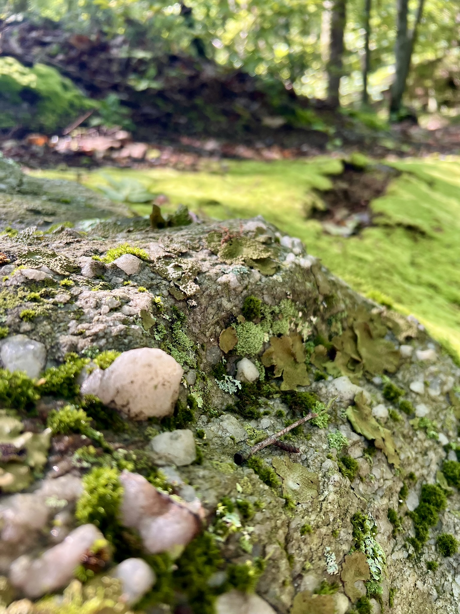
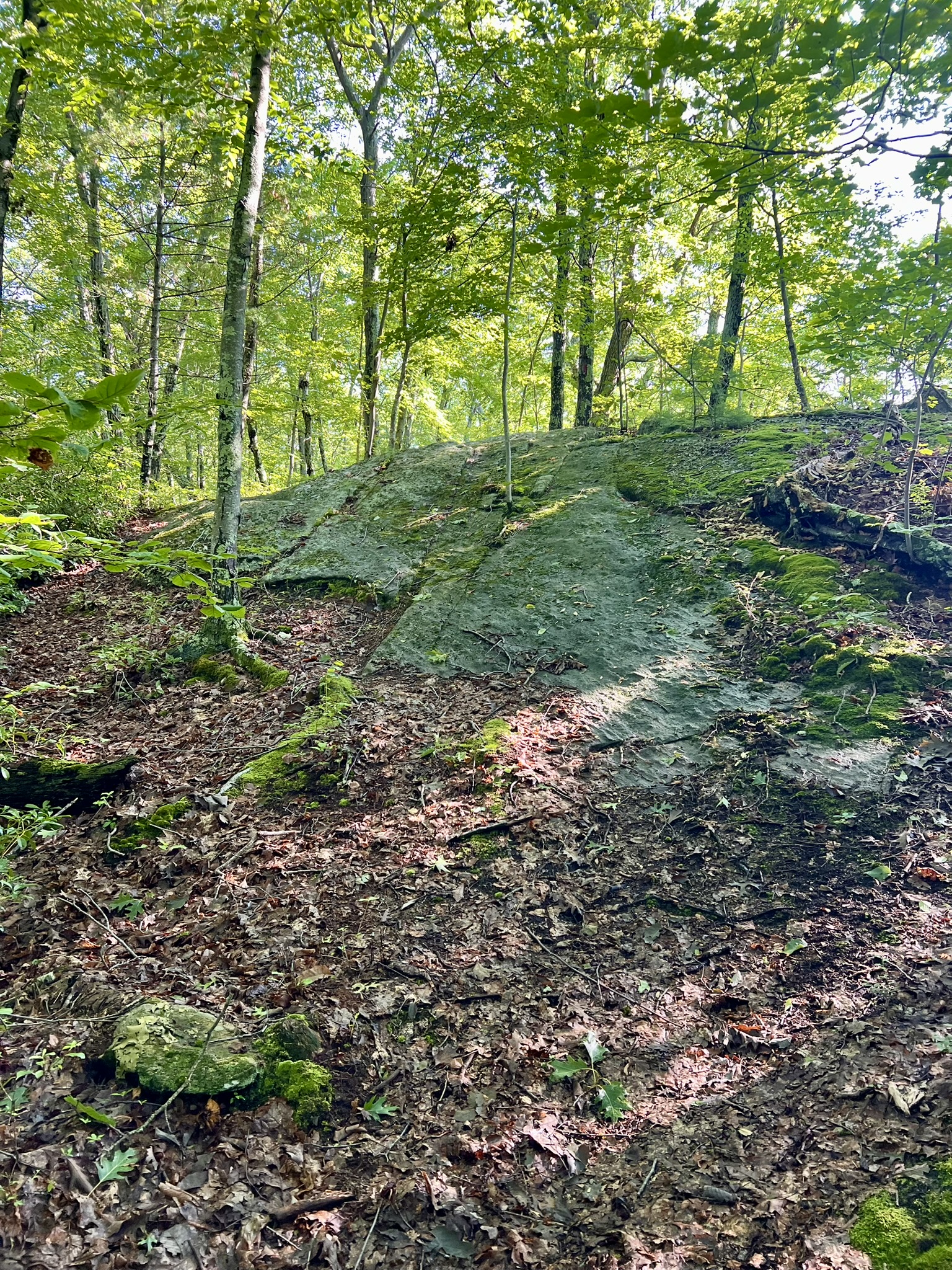
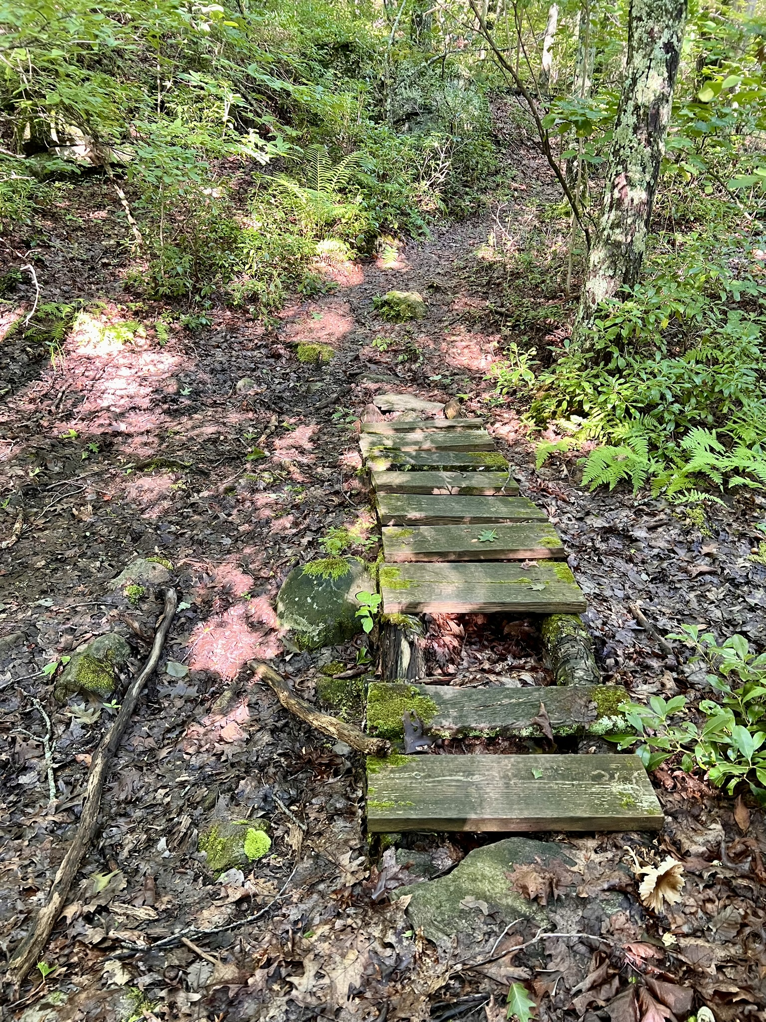
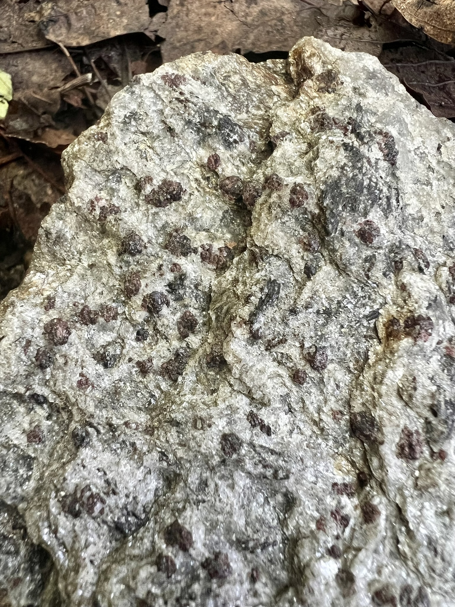
From left to right: one of many quartz-studded rocks; looking back up the ledge section of trail; the rickety bridge on the trail below the ledge; an example of a garnet-studded rock along the trail
Bolton Notch State Park, Bolton CT. 4 miles, 558’ of ascent.
The description of Bolton Notch State Park starts on page 16 of the Garnet Trail Guide. I first visited in late August and loved this hike so much that I returned in October to lead a Nature Nerds hike for the Connecticut Forest & Park Association. In both cases, I loosely followed the AllTrails loop entitled Mohegan Trail and Freja Park Loop, although I did my own variations, including the Garnet Trail spur and an exploration of the Box Mountain Forest.
Both times I parked in the Commuter Lot, per the Guide’s recommendation. You can get much closer to the Garnet Trail going in the main park entrance off I-384. The State Park website has a history of the park and explains that the iconic notch, “a natural depression/opening permitting passage through sheer rock ledges and the titular geologic feature of the park, is thought to originate from an ancient great lake that formed east of this point, from which came a pre-glacial stream that eroded the 250-foot notch in the soft mica schist rock.” From the back right corner of the commuter lot, follow the grassy path to a gate and kiosk with a map of the area. This is the entrance to the town-owned Freja Park. The Town of Bolton acquired the property in 1968. The old Manchester Drive-in was located on the parcel, and you can see the skeletal remains of the old screen not far from the trailhead. The property sat vacant and neglected for 30 years before being resurrected in the late 1990’s with a detailed Trail Improvement Plan. The kiosk and trail map share this history, stating that “[t]he BCC [Bolton Conservation Commission] and Bolton BSA Troop 73, removed over 9 tons of garbage from the park, along with the help of the Bolton Building and Grounds Department, Project Green and numerous town volunteers”. Follow the green and blue blazes as the trail skirts Bolton Notch Pond. When the trails diverge, take the blue-blazed Shenipsit Trail on the right. The Shenipsit Trail is a 50 mile trail maintained by the Connecticut Forest & Park Association that runs from the Cobalt section of East Hampton up into Stafford. This section of the trail rises to the cliff above the pond, where there is a seasonal view, and then descends and crosses Railroad Brook to meet the Hop River State Park Trail, which offers 20 miles of Rail-Trail through six different towns. Turn right and follow this rail trail through the impressive Bolton Notch.
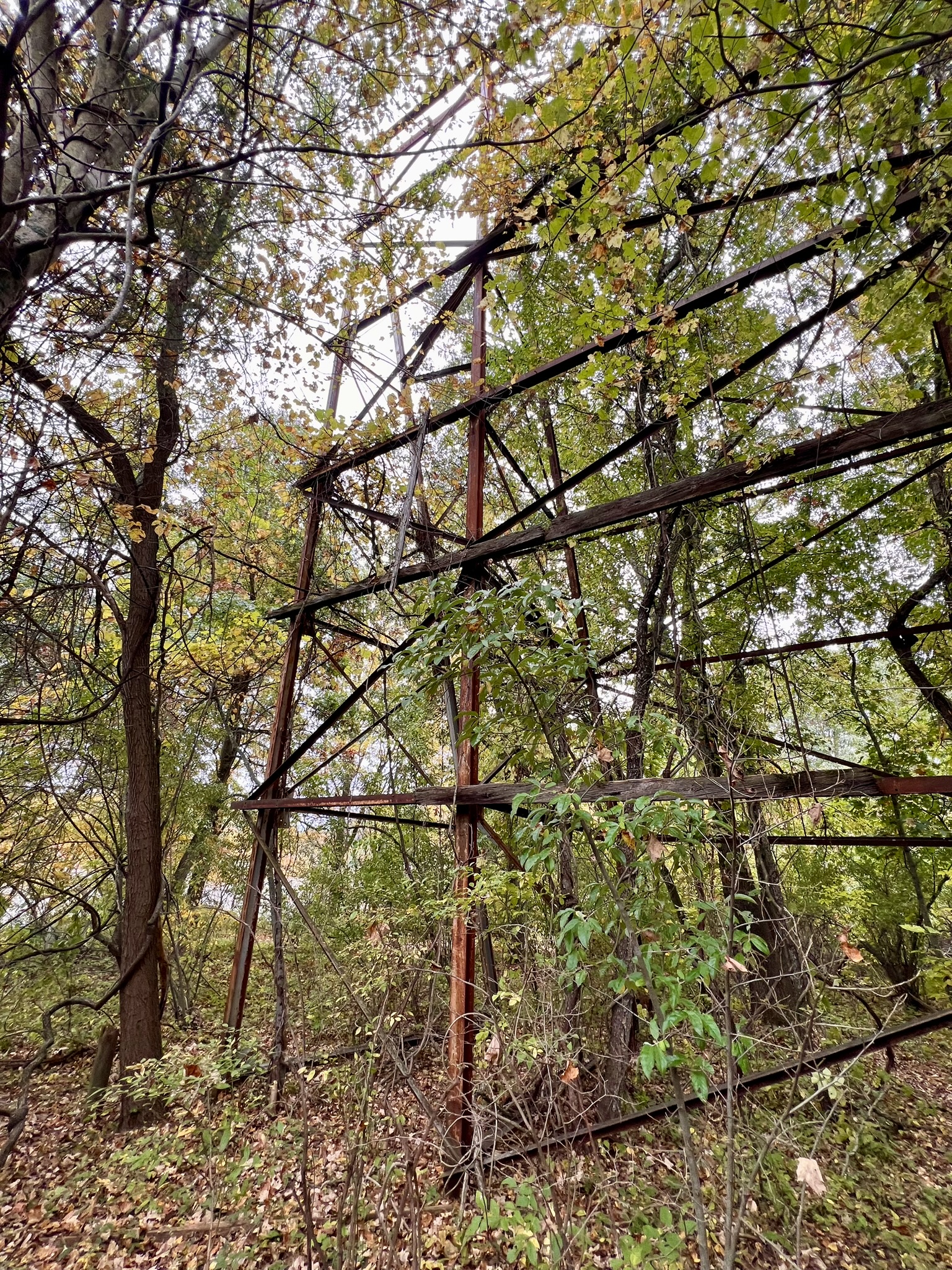
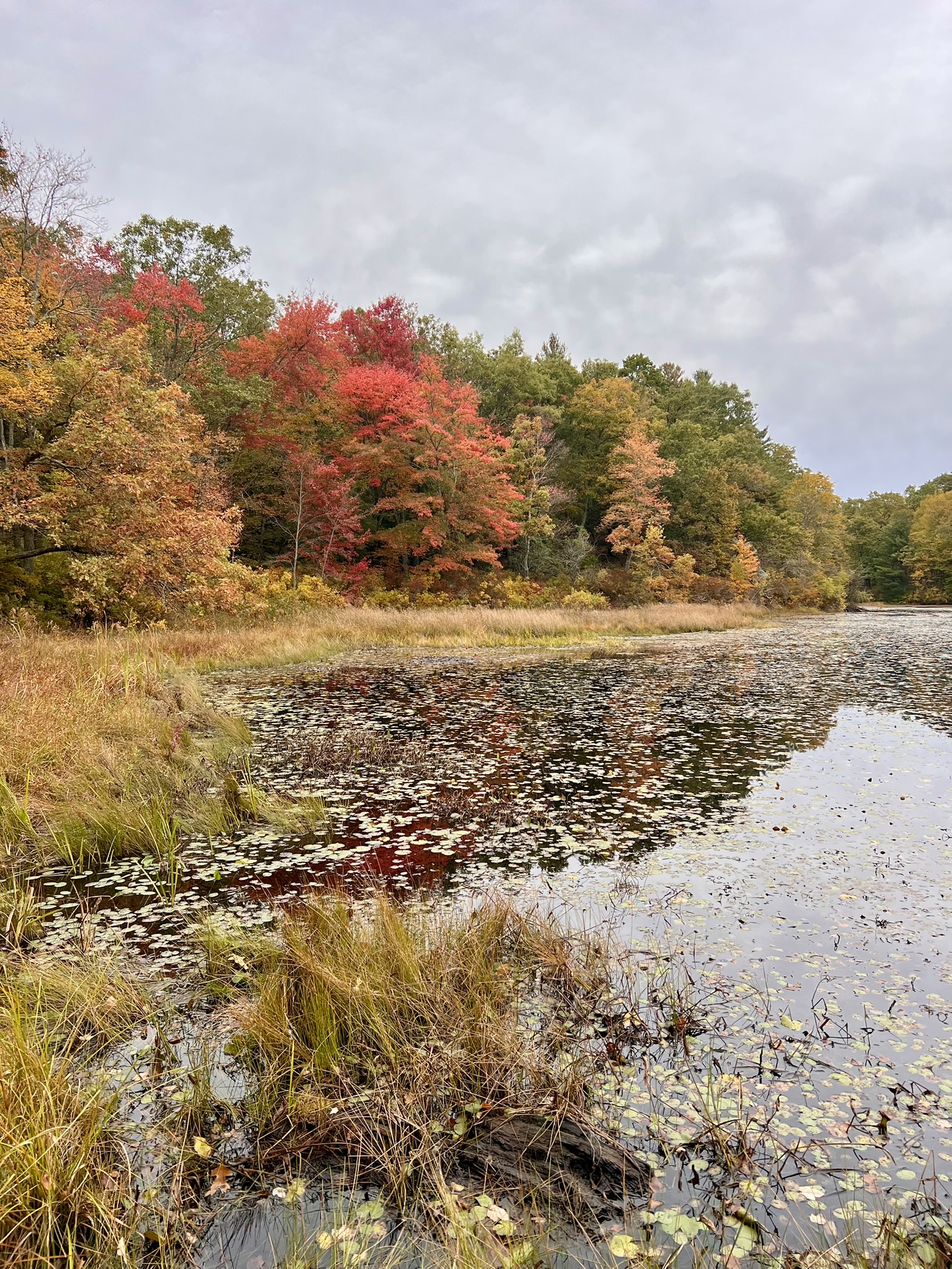
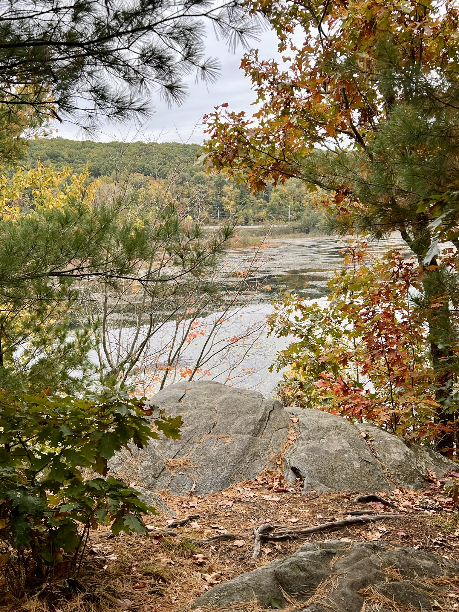
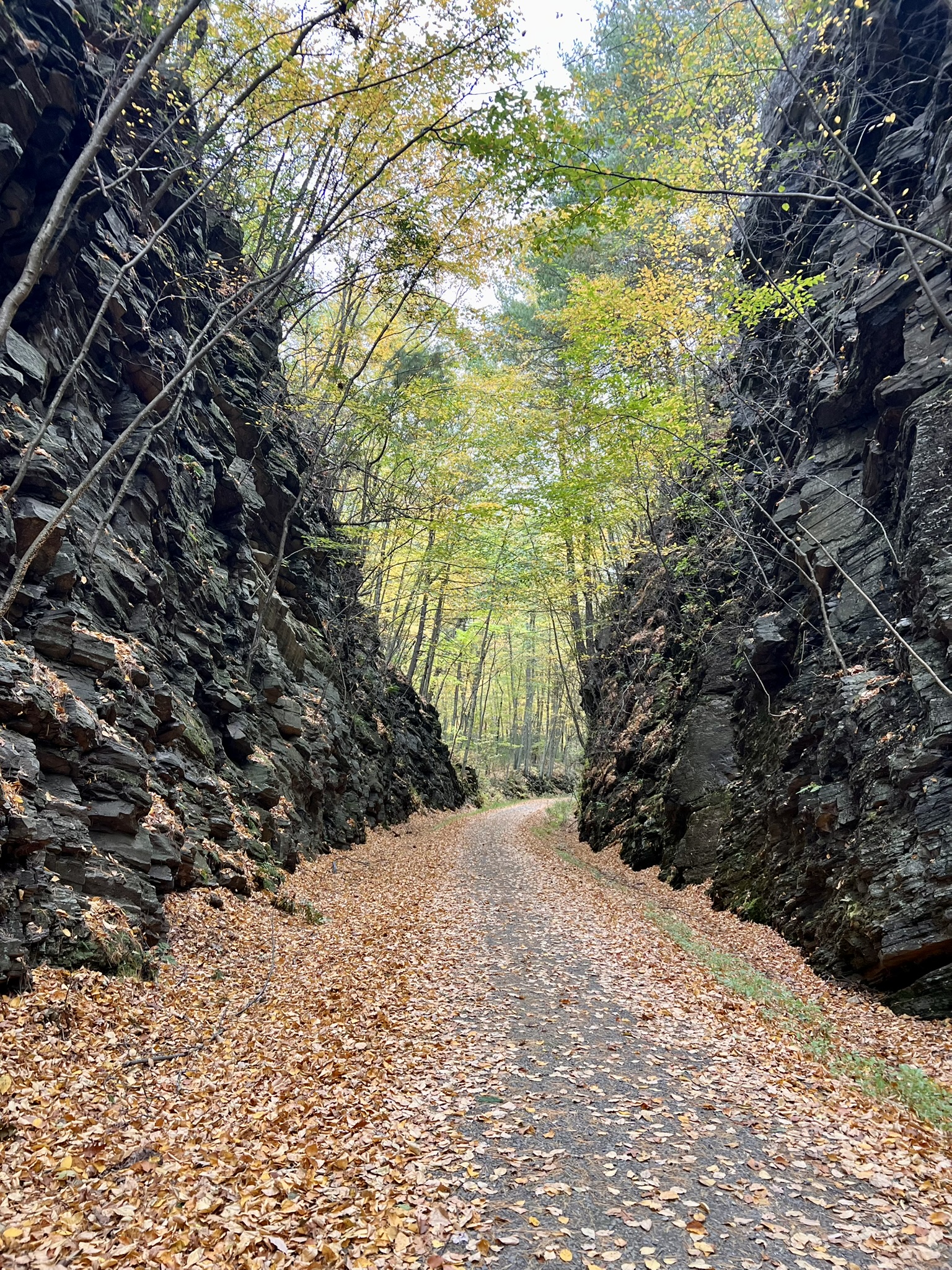
From left to right: the frame of the old drive-in movie screen; Bolton Notch Pond from below and above; the Rail-Trail through the notch
Just before reaching the parking area, watch for the yellow and red blazed trails on the left. The Garnet Trail Guide describes this as simply the Mohegan Trail, but the updated 2017 park map labels the red spur trail as the Garnet Trail and the yellow blazed loop as the Mohegan Trail. As I ascended the trail I was able to see the garnets in the rock. This can feel underwhelming because they are small and somewhat dull in color. Rubbing the dirt off the rock helps, as does using a flash to photograph them, which brings out the red color.
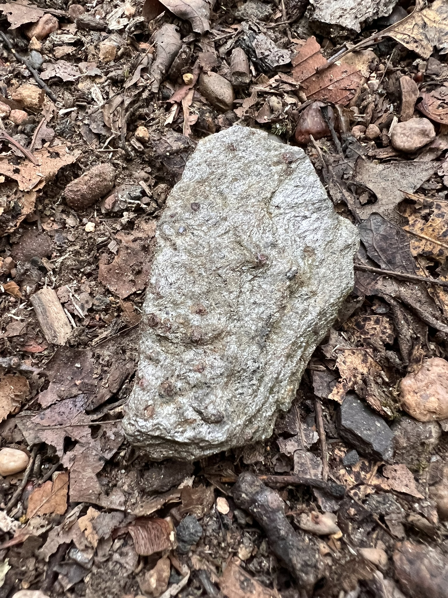
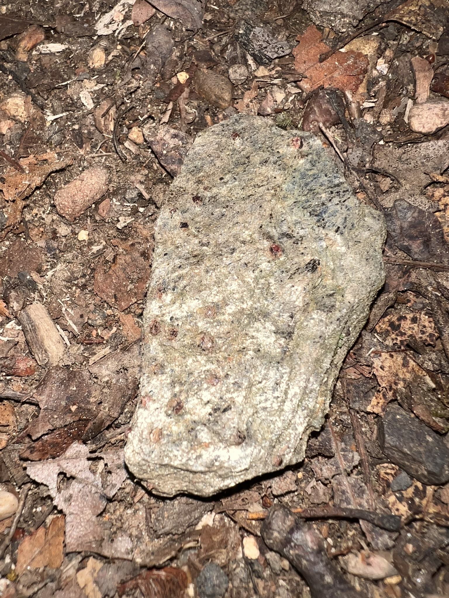
It is a short but steep scramble up to the scenic overlook nicknamed Flag Rock for the enormous American flag painted on the face of the cliff. I have read that this flag was first painted shortly after September 11, 2001. Be careful around this cliff! Normally I am not a fan of graffiti in nature, but it certainly is interesting.
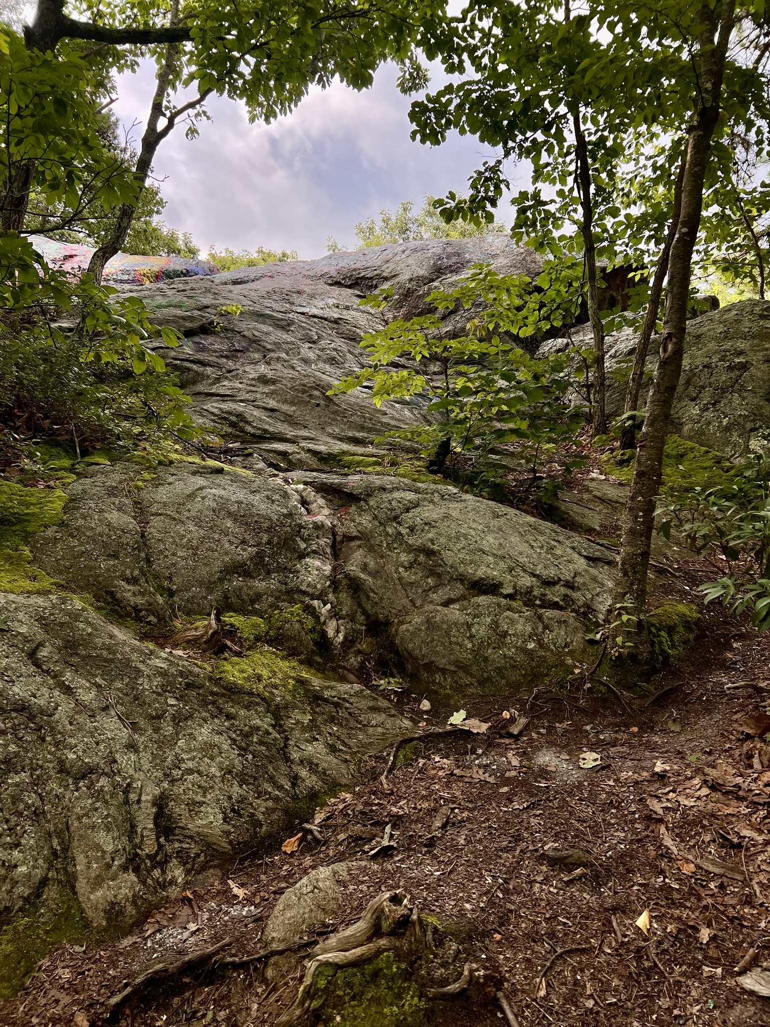
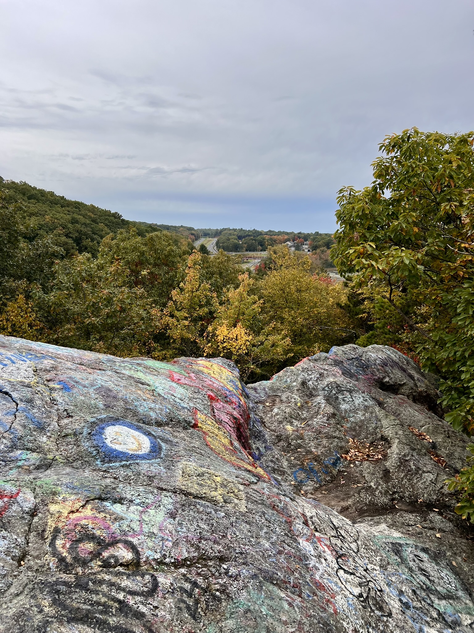
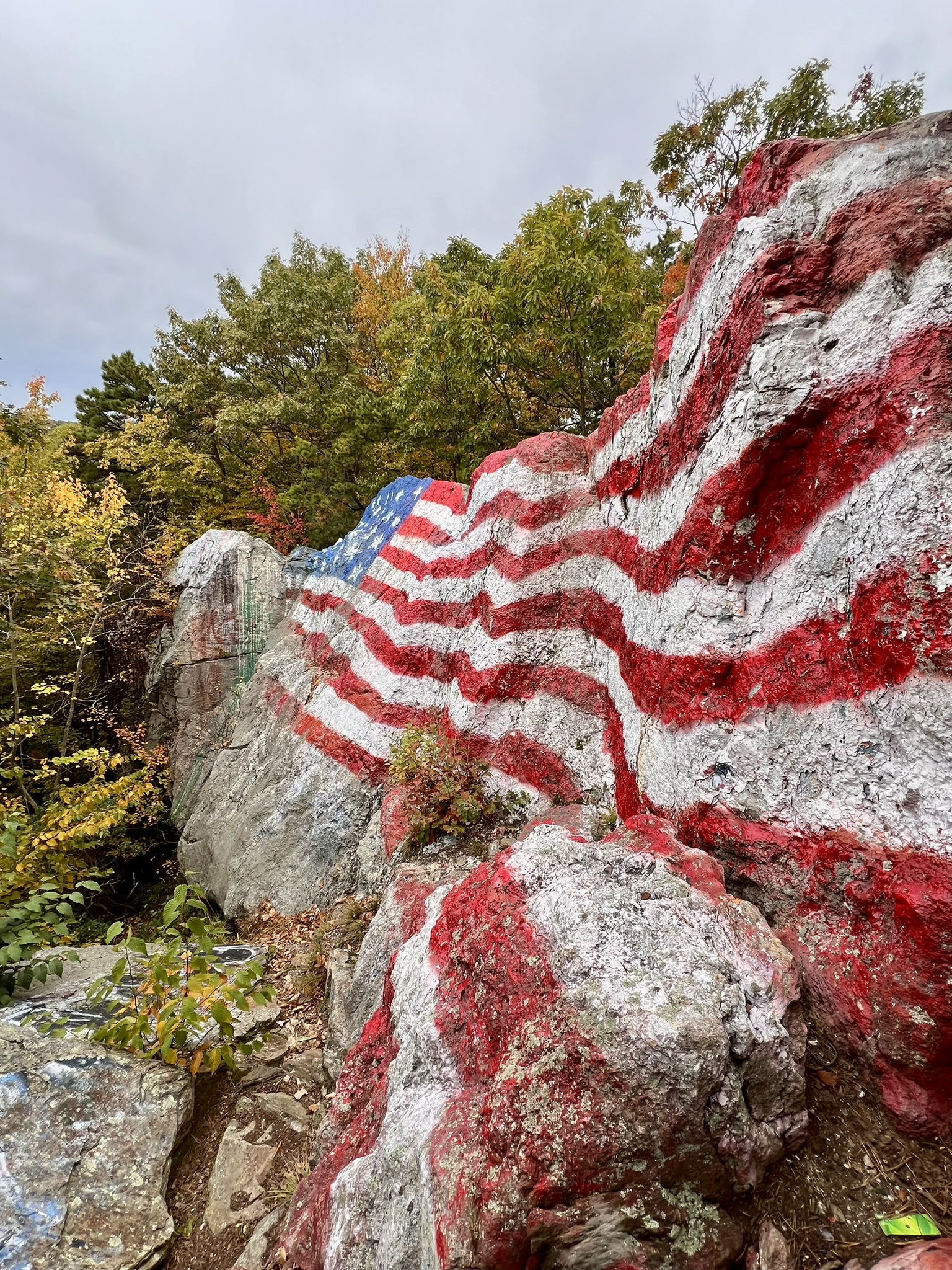
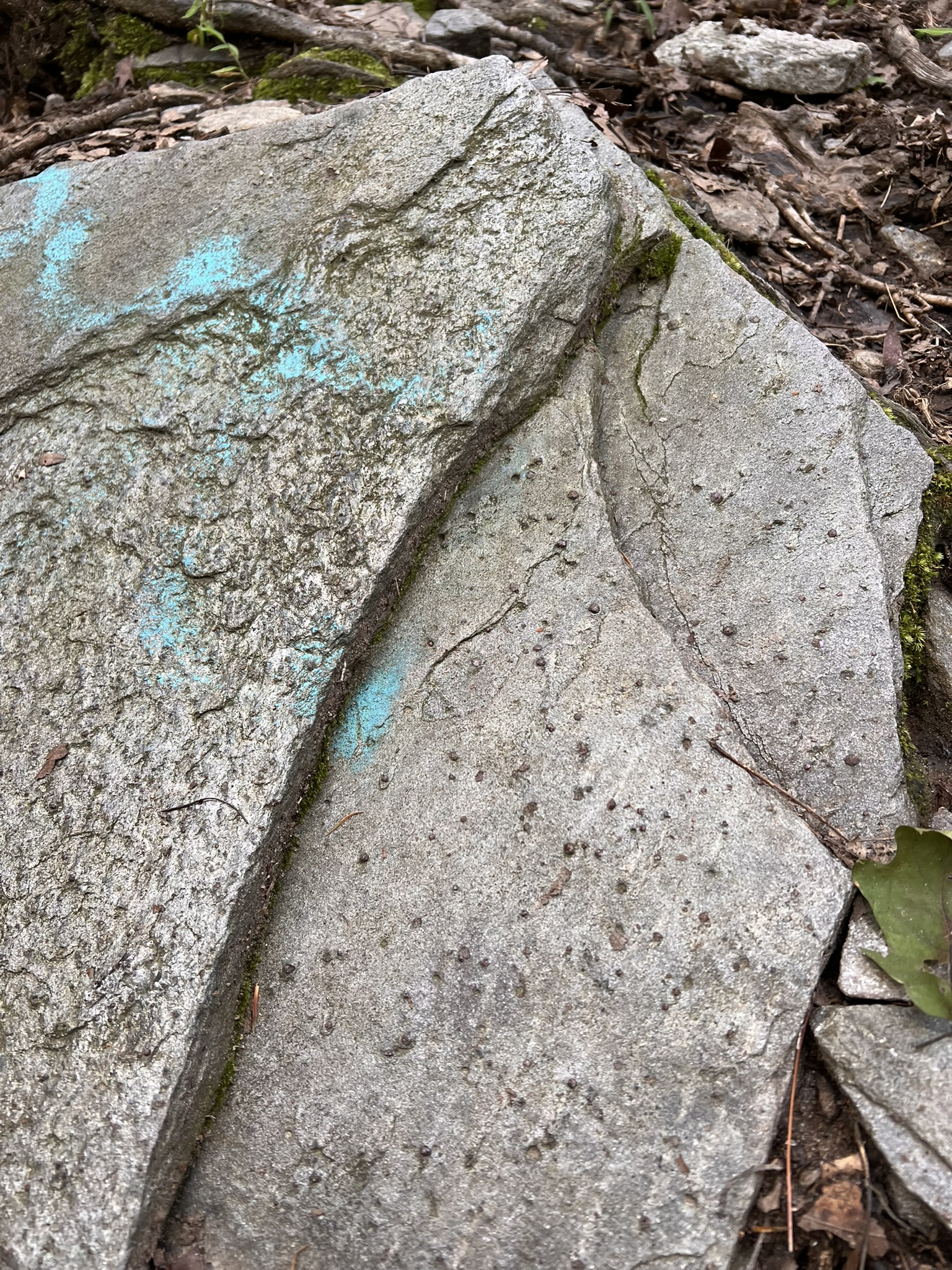
From left to right: the approach to Flag Rock; the view from the top; side view of the flag; a graffiti and garnet studded slab
From here I used AllTrails to navigate the unmarked trails that continue east and north to meet up with the yellow-blazed Mohegan Trail. This is a lovely section of woods with intriguing rock formations. Turn right to follow the yellow trail counter-clockwise through tranquil uplands and then a narrower track dominated by mountain laurel on both sides. As you hike, keep your eye out for garnets — there are several places along the route where I spotted garnets in the rock formations along the trail.
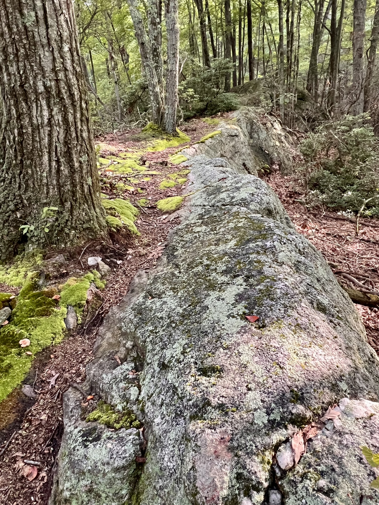
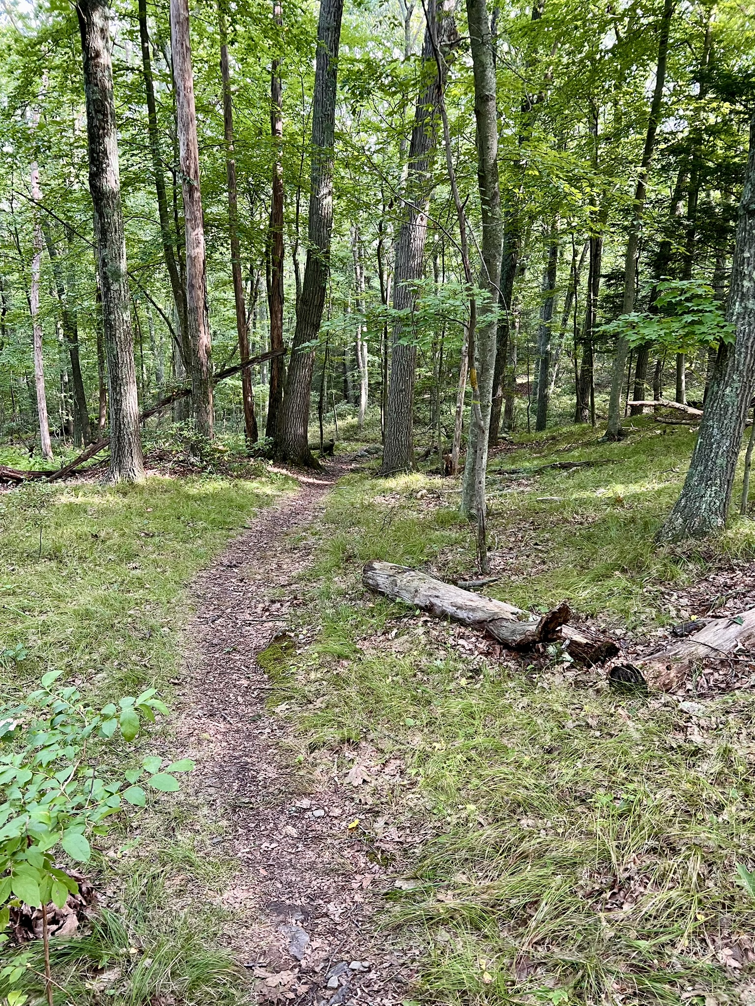
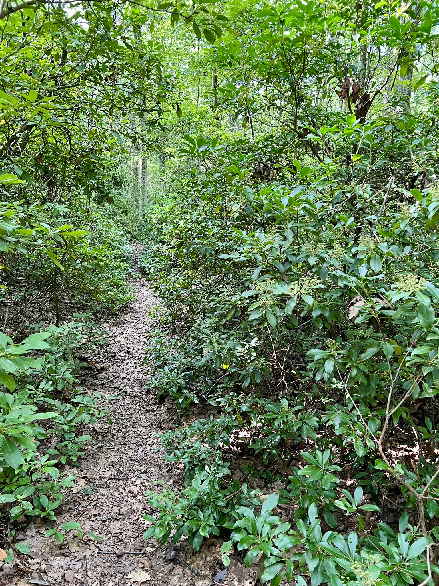
From left to right: a section of unmarked trail connecting to the Mohegan Trail; the uplands section of the Mohegan Trail; the mountain laurel section
Coming out above the Hop River Trail, turn right onto a cart path then descend to the rail trail. On my first visit, I paused for a snack break at the bench by Railroad Brook. I wanted to hike a little further, and noticed the possibility to do a loop on unmarked trails to the north in an area labeled Box Mountain Forest on AllTrails. Crossing the brook, instead of going left on the blue-blazed Shenipsit Trail I turned right and followed an unmarked trail up the steep hillside to the ridge above. As the trail continued along the ridgeline, I was pleased to see that there was an occasional view to the hills beyond, and even more pleased find myself in a long stretch of forest with mature pitch pines. There was one place where the trail along the ledge was too close to the steep drop-off for my comfort, so I followed an alternate route around (this shows on AllTrails). Shortly after that I took a trail to the left (going straight looked like it would head back down to meet the Hop River Trail). At the next trail junction I went left, following a wider path that appears popular with mountain bikers. This descended and intersected with the green trail in Freja Park, which I followed to the right to return to my car.
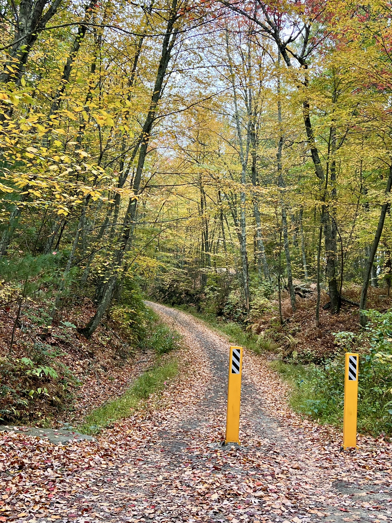
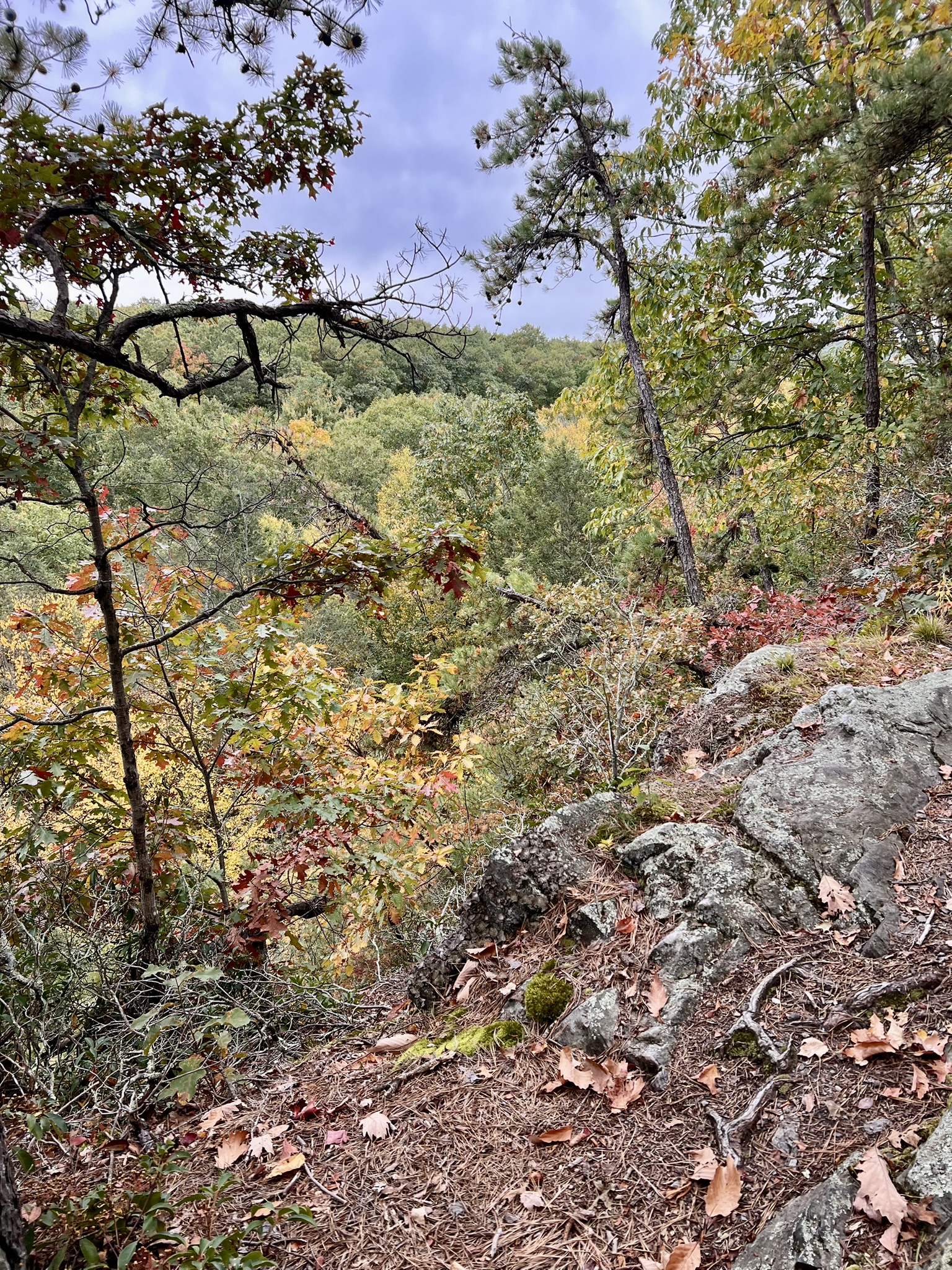
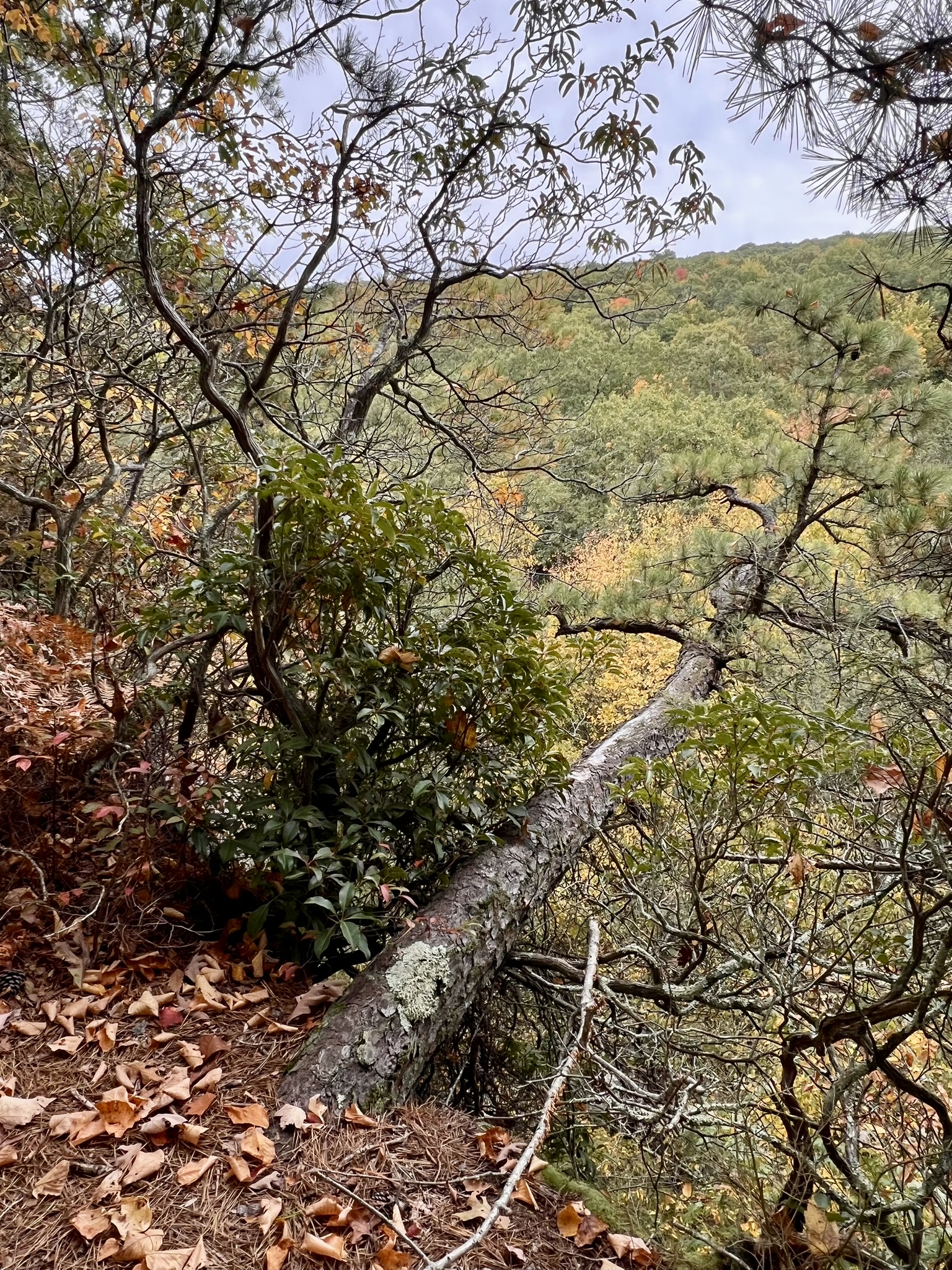
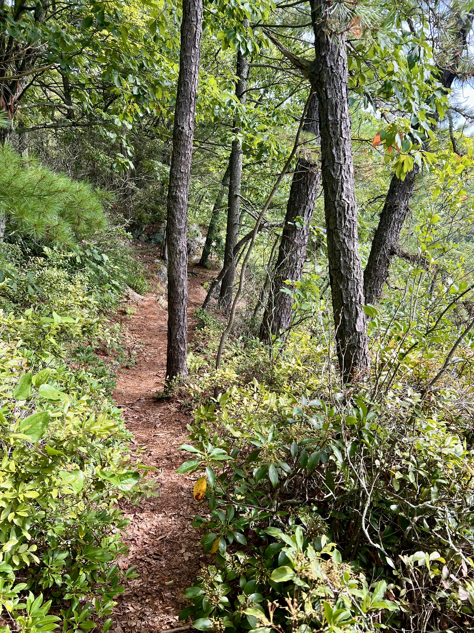
From left to right: The Hop River Trail; view from the ledge in the Box Mountain Forest; a pitch pine growing horitzontally from the cliff’s edge; pitch pines along the trail
Bibliography
The Connecticut Garnet Trail Guide https://portal.ct.gov/-/media/DEEP/geology/GarnetTrail/Garnet-Trail-Full-Document_2022.pdf
The Planet Geo Podcast website: https://planetgeocast.com/
The Sandatlas Website description of Almandine Garnet. https://sandatlas.org/almandine. The “About” section describes Sandatlas as “an illustrated guide to geology, created and maintained by Siim Sepp – a geologist, writer, and nature photographer based in Estonia.”
Subscribe to Trail Talk
your next adventure awaits
Questions? Email me at naturenerdsramble@gmail.com or find me on Instagram @the_real_nature_renee.