We often think of places as timeless or static, but the truth is they are constantly changing. At one time the woods near me were abuzz with industry: colliers making charcoal, folks harvesting witch hazel, farmers clearing land for pastures or crops. Tom Wessels, who wrote the book “Reading the Forested Landscape”, teaches us what clues to look for to help us determine what a woodland’s prior use may have been. Sometimes it is easy to identify a land’s past use. Many of our state’s trails were once canals, railroads or trolley lines – such as Air Line State Park and the Farmington Canal Trail, among others. This Trail Talk is dedicated to some of the more unusual repurposed places I have encountered in my explorations. The next time you hit the trails, I challenge you to think about what that land was used for in a prior age, how it has changed over time, and what its future uses may be.
(Photo: one of several structures remaining from the former Rocky Hill Stone Company in what is now Quarry Park)
Suburban Park, Farmington. 1.5 miles with 200’ of ascent.
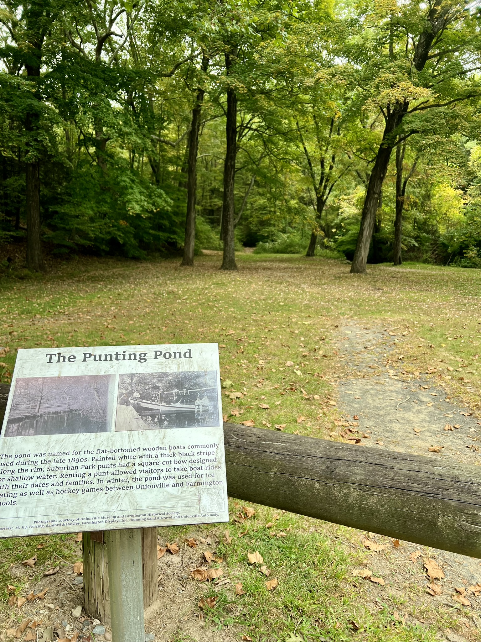
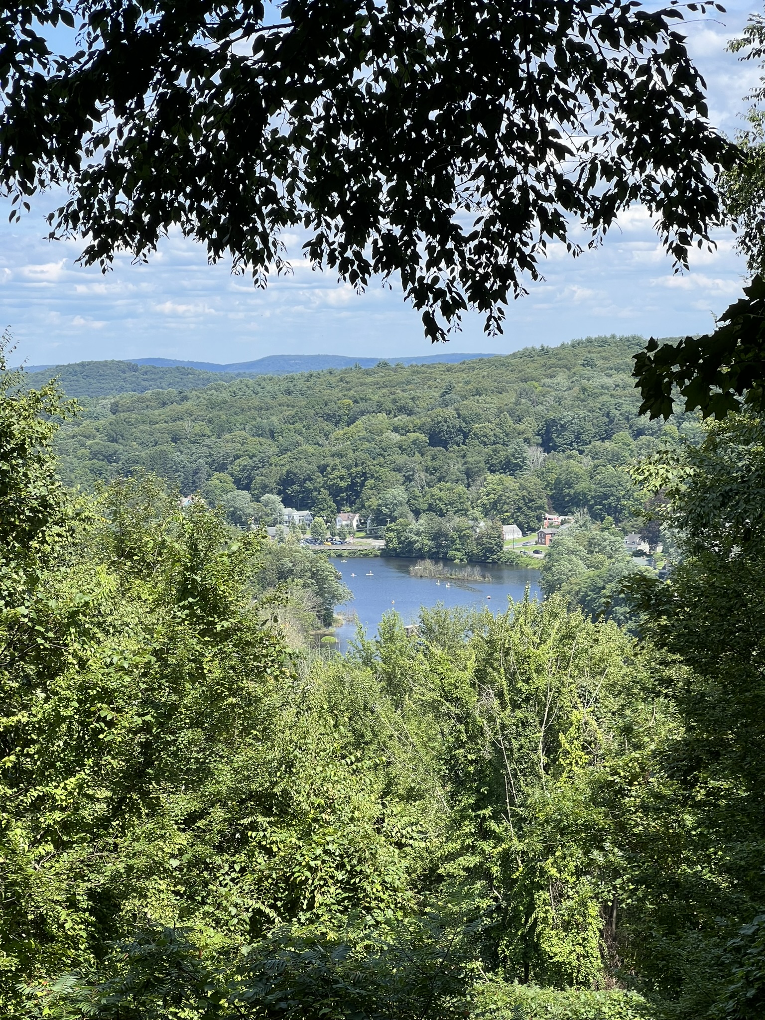
Farmington has worked hard to highlight the ties between their various public trail systems and history. This brochure provides a List of Farmington Historic Hikes. One such place is Suburban Park in the Unionville section of Farmington. The geologic history is interesting, with several large glacial kettle holes scattered throughout. A kettle hole forms when a chunk of ice separates from a glacier. As the glacier retreats, sediment fills in the area around the ice chunk. When the ice finally melts it leaves a depression in the land. This hilly terrain is also the site of an old amusement park established in 1895 by the Hartford Suburban Railway Company as a way to entice city dwellers to pay for the electric trolley ride out to the country. The park featured a punting pond, swimming lake, café and ice cream parlor, dance pavilion and an electric fountain and carousel. The park only operated for a few years. Farmington has done a stellar job of keeping the history alive with various signboards. All the trails are unmarked but are generally easy to follow with the help of this Self-Guided Walking Tour Brochure and AllTrails. This one page flyer has additional information about the park


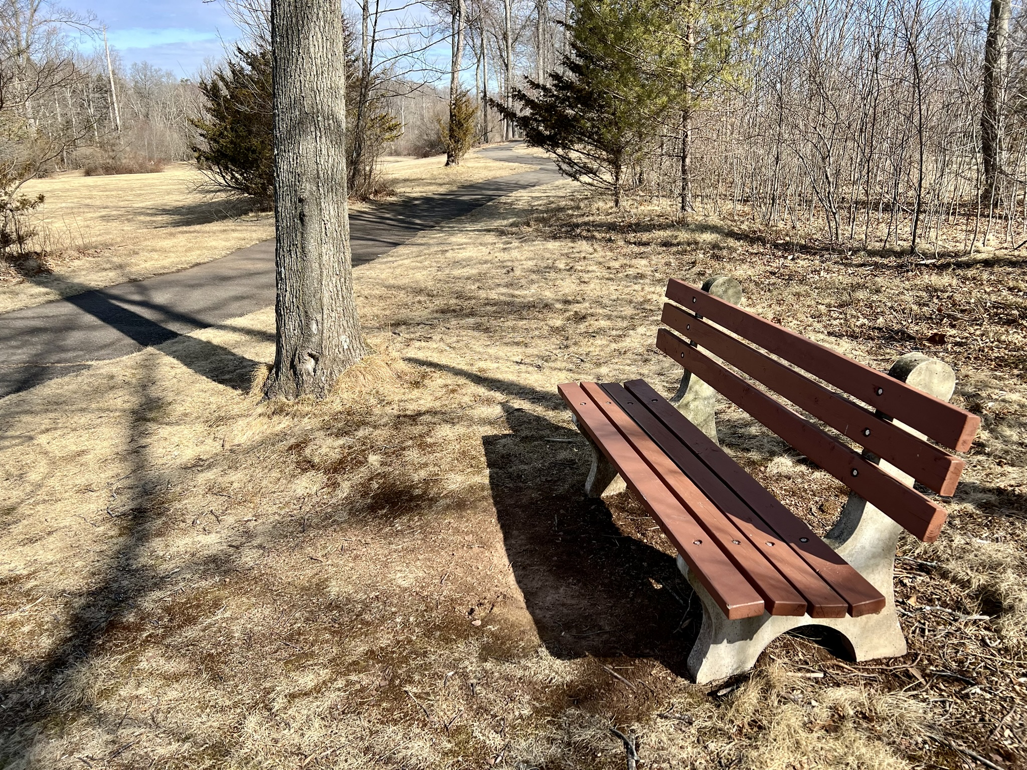
(From left to right: the view from the parking area; a contemplation bench along Roaring Brook; Roaring Brook with the trail alongside)
NOTE ABOUT PARKING: There is no parking on Park Pond Ave off Route 4 (Farmington Avenue). The best place to park is at Lions Memorial Park on Cottage Street. Our GPS gave us bad guidance. From Route 4, turn north onto Route 167 and then take a left onto Cottage Street. Follow Cottage Street to the end where it dead-ends at the Park. Visiting on a mild September day, we wandered along most of the trails for a total of 1.5 miles. From the lot we crossed the field that was formerly the Punting Pond and followed the trail that ambles alongside the river. We then climbed steeply uphill towards the “swimming pool” (neither map linked above shows this trail, but the AllTrails map denotes the former pool location). From the top of the hill we generally followed the perimeter of the property in a counter-clockwise direction using the various maps to make sure we passed all the most interesting features, such as the Water Fountain. While just a circle of rocks today, in its time the Water Fountain is described as the first in the nation to be powered by electricity, which must have been quite the spectacle.
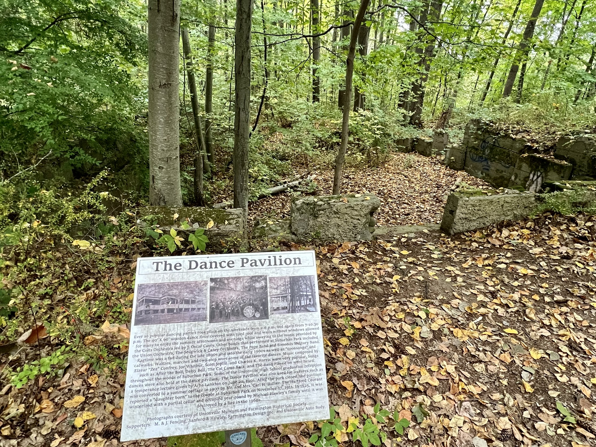
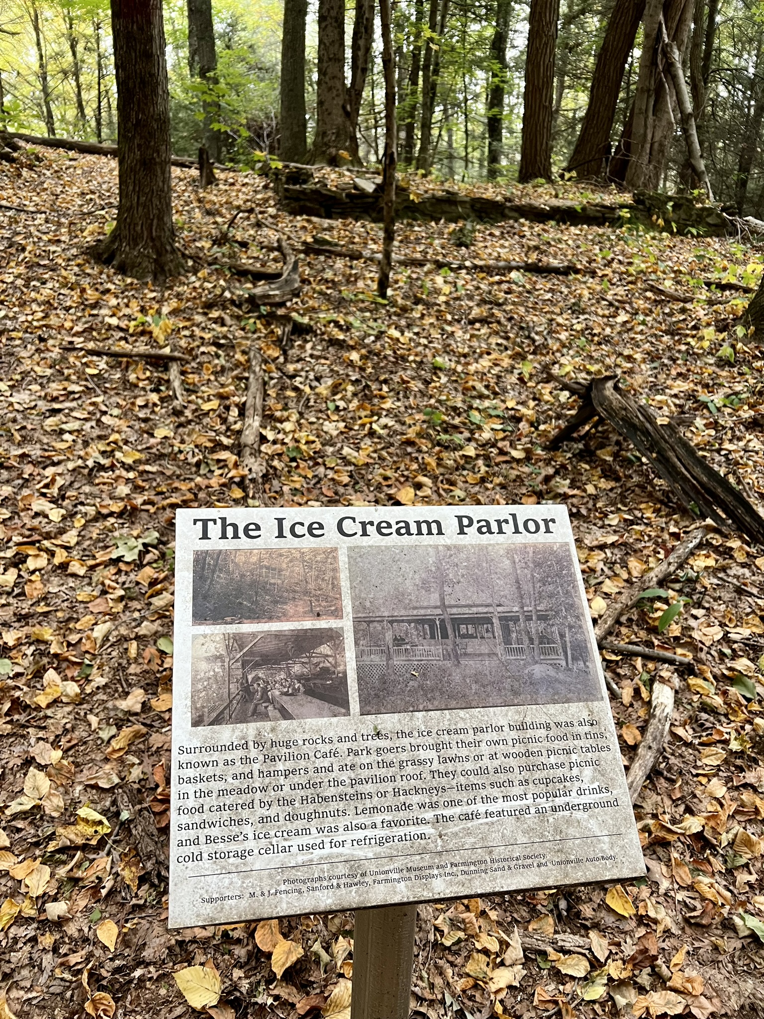

(From left to right: the foundation of the Dance Pavilion; the remains of the Pavilion Cafe which served Besse’s ice cream; the former Water Fountain)
Shade Swamp Sanctuary, Farmington.
This property is comprised of two separate parcels about a half mile apart. We visited on one of the first warm days of early March. Online, I found A Trail Guide to Shade Swamp Sanctuary. This handy guide was first published in 1955 and most recently revised in 2008. The unique history of the eastern parcel, which has the blue trail, becomes evident a short distance from the road as the trail passes a series of ruins – old cages and stone and concrete structures that are the remains of an old zoo built by the Civilian Conservation Corps (CCC) in 1934 and abandoned in the 1960’s. According to the flyer, “[i]t was designed as a sanctuary for endangered or injured native birds and animals. Since it was called a sanctuary, people in the 1930’s brought non-native species in a hope for a better home. The zoo was offered monkeys, alligators, and parrots for a number of years.”
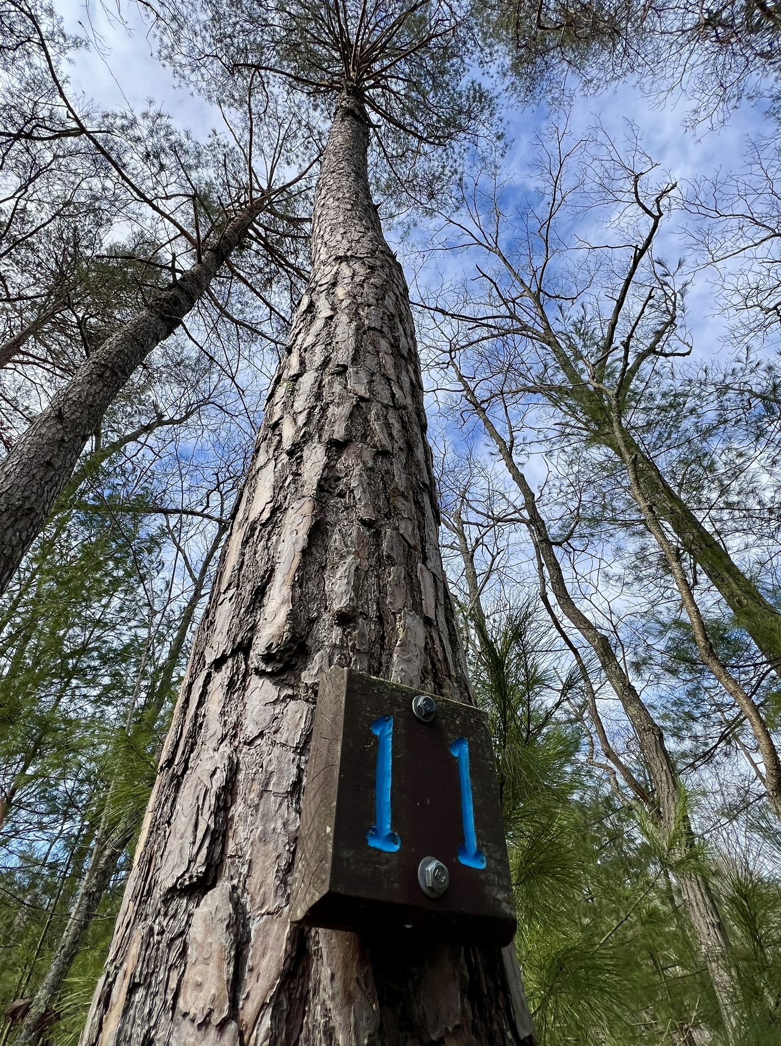
(Photo: Sign at the trailhead for the Blue Blazed Trail)
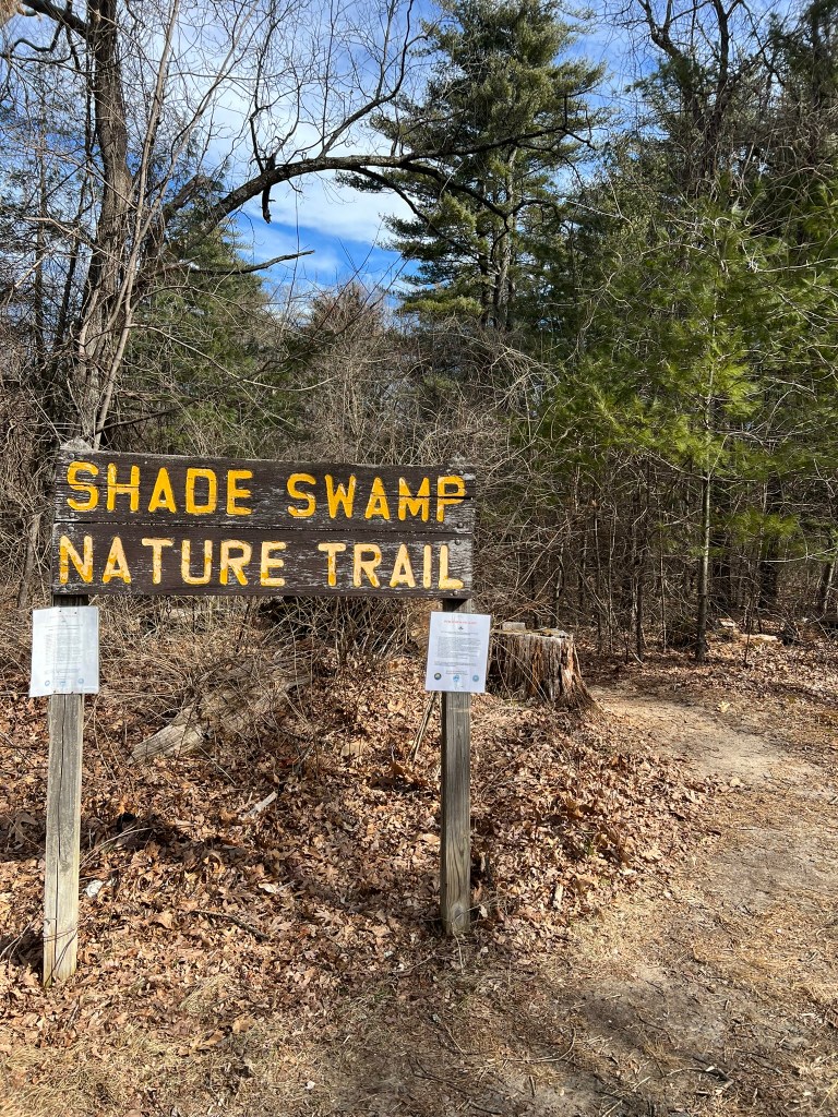
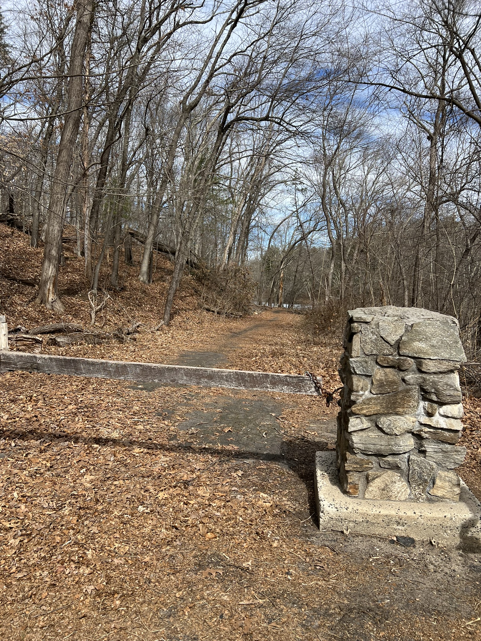
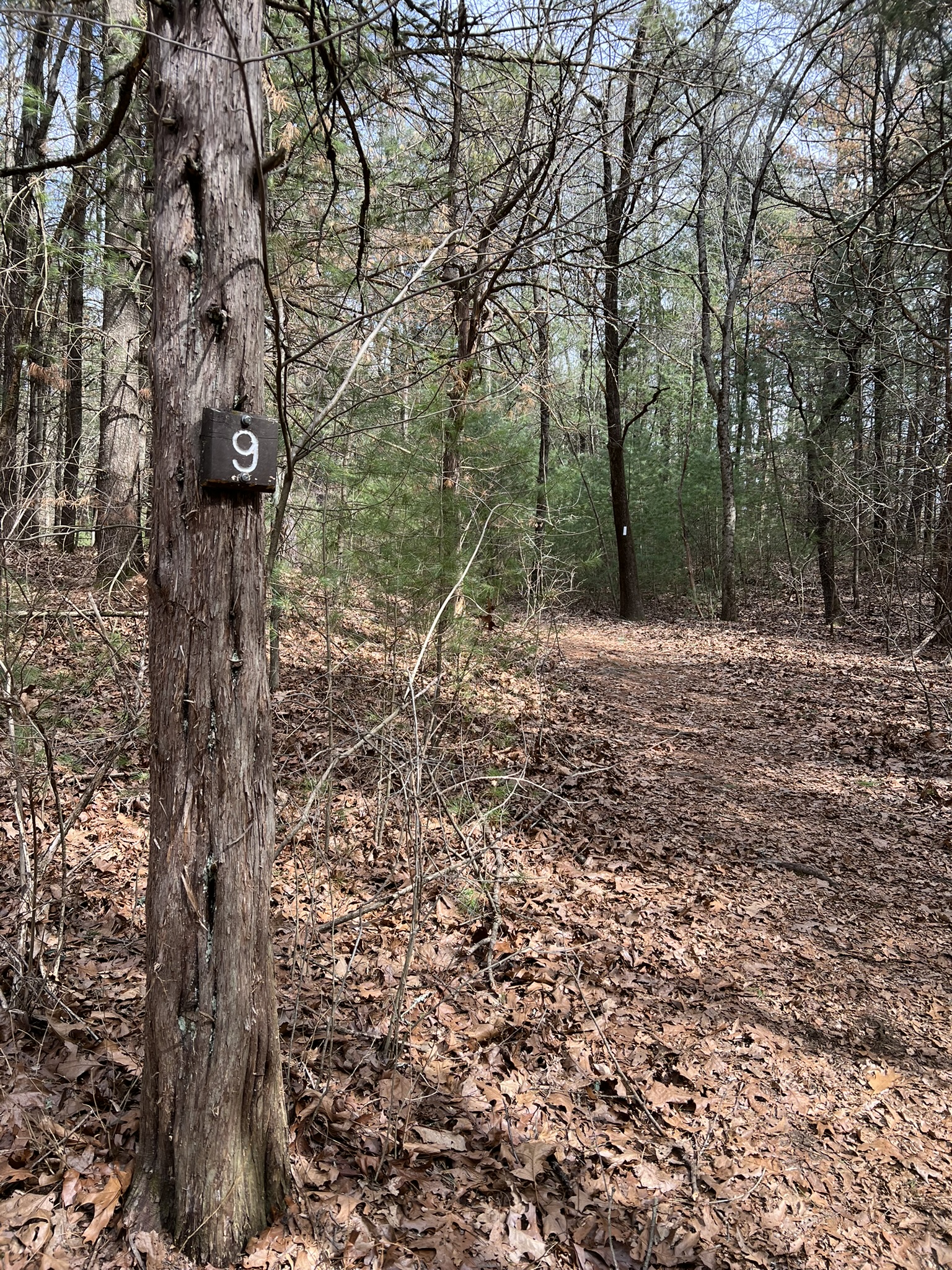
BLUE TRAIL. Approximately 1.5 miles. There is a small parking area for the blue trail on the north side of Route 6. A post and beam CCC-built shelter formerly marked the trail but has since been removed, so don’t be confused by mentions of this landmark. There is still a sign that reads “Shade Swamp Nature Trail” for reference. Almost immediately we came upon the remnants of the old zoo, mainly a series of cages and concrete structures. From there, however, we failed to pay proper attention to the Trail Guide, so at the first trail junction we went right, starting a counter-clockwise loop hike. We discovered later that the Trail Guide numbers are best followed going clockwise, which I would recommend doing. According to the Trail Guide, “Shade Swamp is a product of the last glacier which disappeared from this area more than 10,000 years ago.” Apparently a large ice dam blocked and altered the flow of the Farmington River and created a large glacial lake. “When the ice finally melted, it left the low lying depression we now know as Shade Swamp.” The northeastern loop goes to the top of the kame terrace and back down along the edge of the swamp. A kame is described as “an irregularly shaped hill or mound of sand and gravel” and it was an interesting feature with partial views all around while the leaves are off the trees. I was particularly intrigued by the large number of mature pitch pines along the higher elevations. I wrote about pitch pines in my January/February 2025 blog post. This trail goes along a swamp, and I have read that it can get very buggy in the warm weather, so plan accordingly. The AllTrails map was useful as a secondary guide. The blue blazes have not been redone recently and were often not apparent. The trail is listed as 1.1 miles on AllTrails, 1.3 miles on the town’s brochure and 1.5 miles in the Guide Book. The paths were generally easy with a few steep sections and some roots to navigate. We followed some additional trails to the west for a total of 1.65 miles with 176’ of ascent.
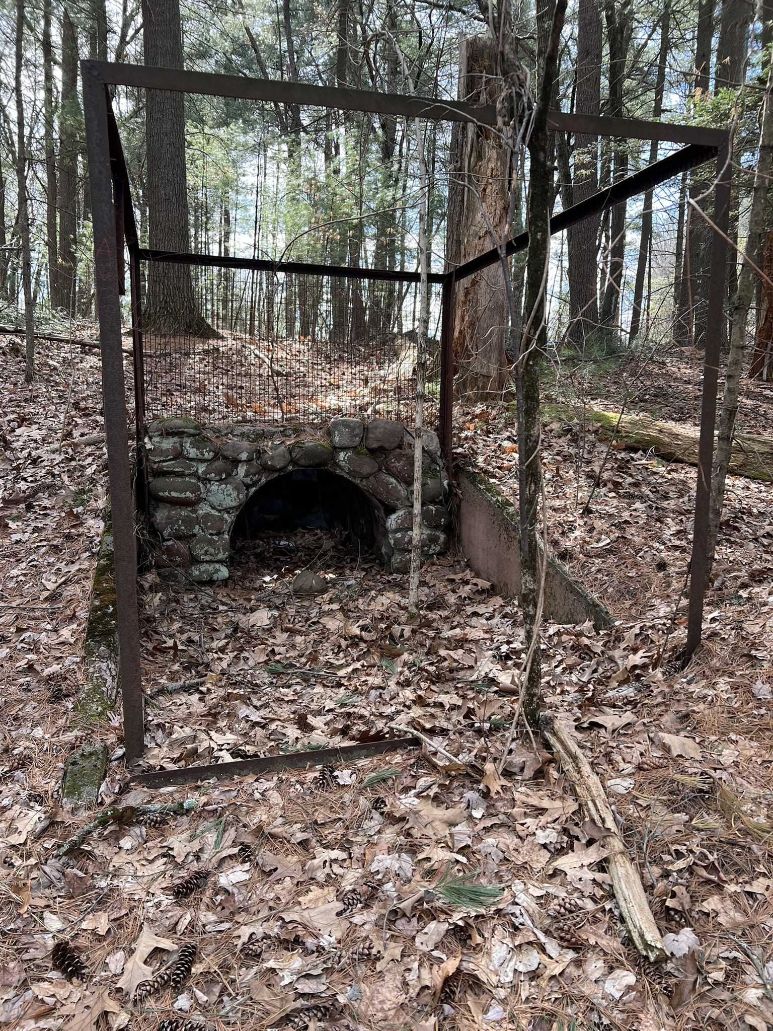
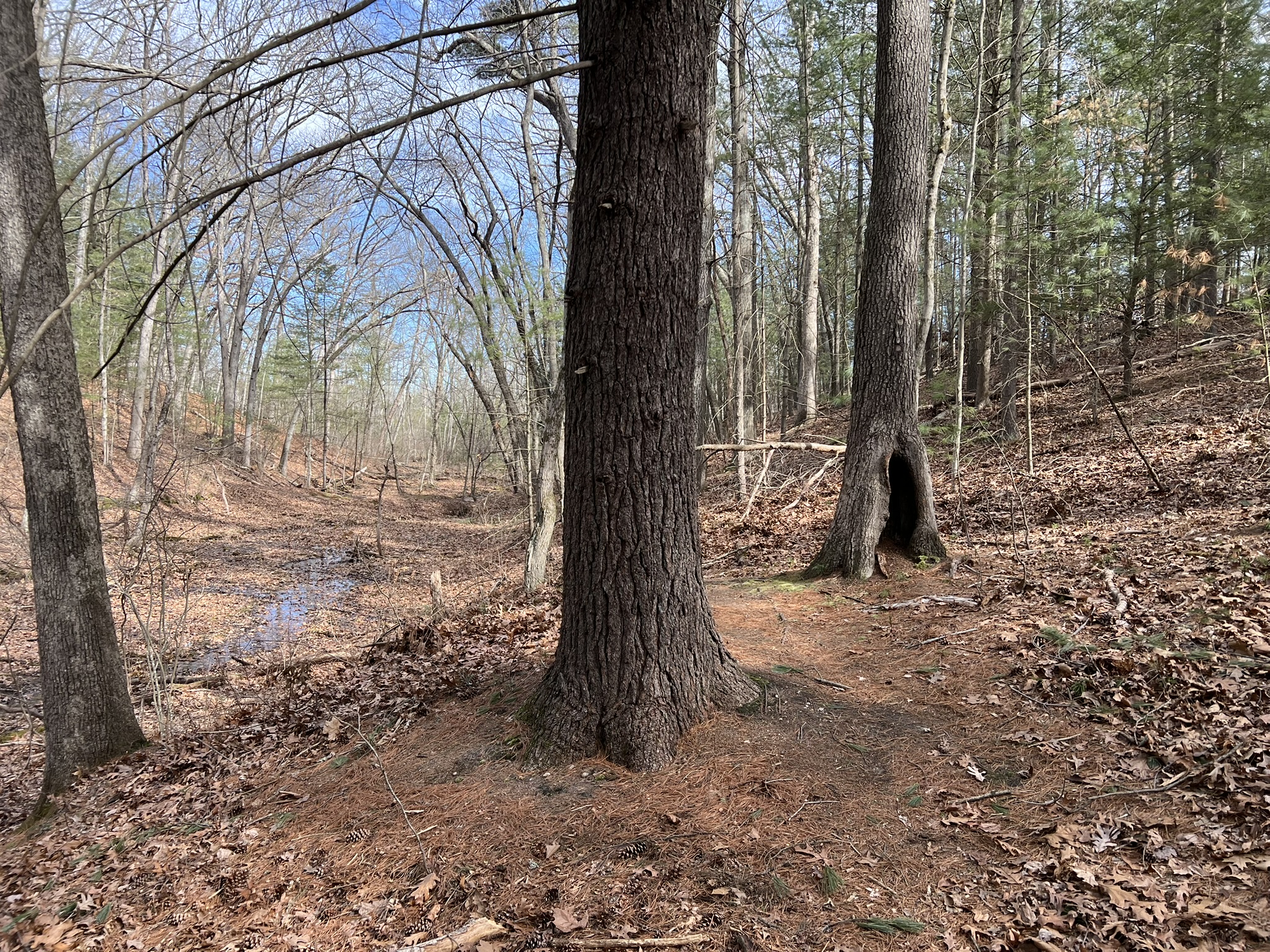
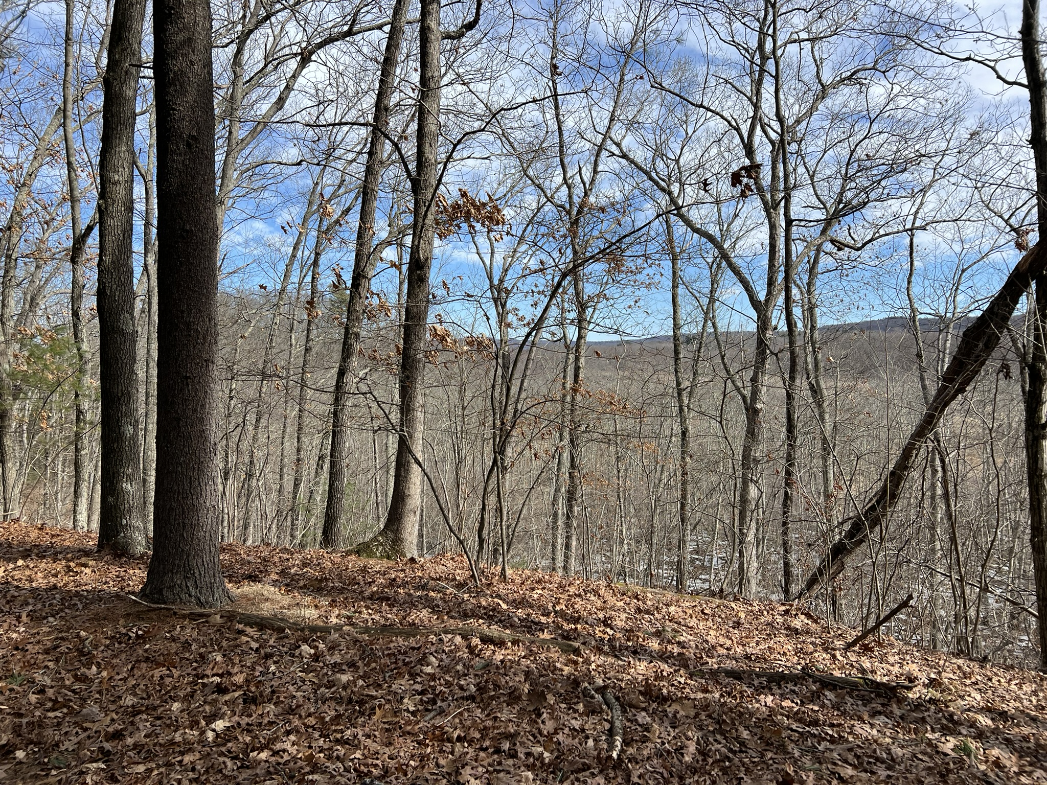
(Clockwise from left: remains of a cage from the former zoo; Eastern White Pines; one of many mature Pitch Pines; seasonal views from the ridge)
WHITE TRAIL. Approximately 2 miles. The western parcel of the Shade Swamp Sanctuary is about ½ mile west on Route 6 with parking again on the northern side. This section has a white-blazed trail. Again, the mileage is listed differently, showing as 1.8 miles on AllTrails and 2.5 miles in the Guide Book. We recorded 2.1 miles with 100’ of ascent. This trail was generally easier and less steep than the blue trail. The All Trails route does not go along either side of Taplin Pond. We started on the west side of the pond following the route guidance in the Trail Guide and came back along the east side of the pond. The white blazes have been recently redone and the trail was easy to follow. While this trail does not pass any abandoned ruins, it is a lovely woods walk with a large number of beautiful multi-trunked eastern white pines. We admired the first signs of spring, spotting budding skunk cabbage. We visited on one of the first warm days of March in fairly dry conditions. The trail on the western edge of the pond looks like it can get very muddy, so it may be wise to avoid this section in wet weather.

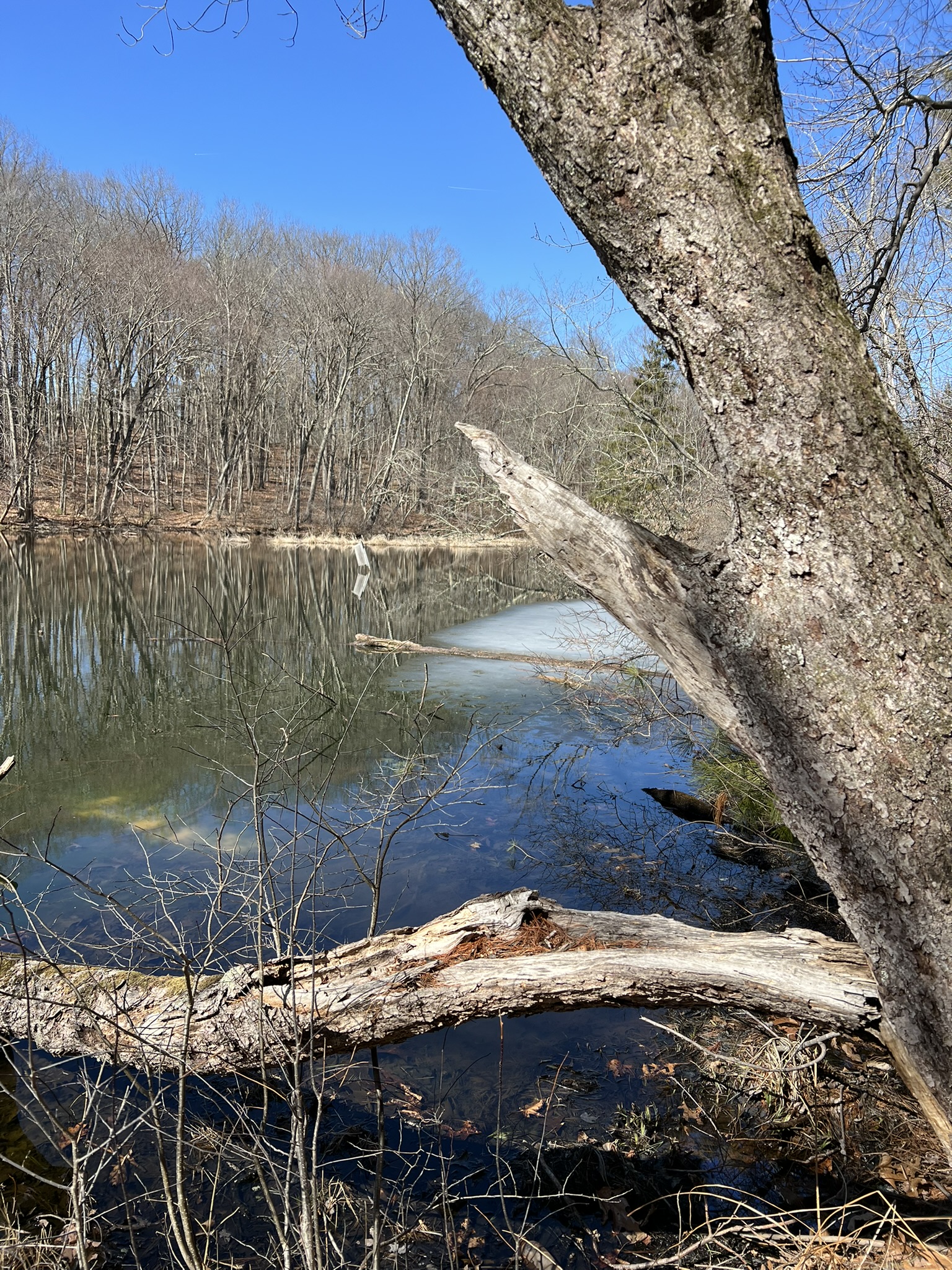
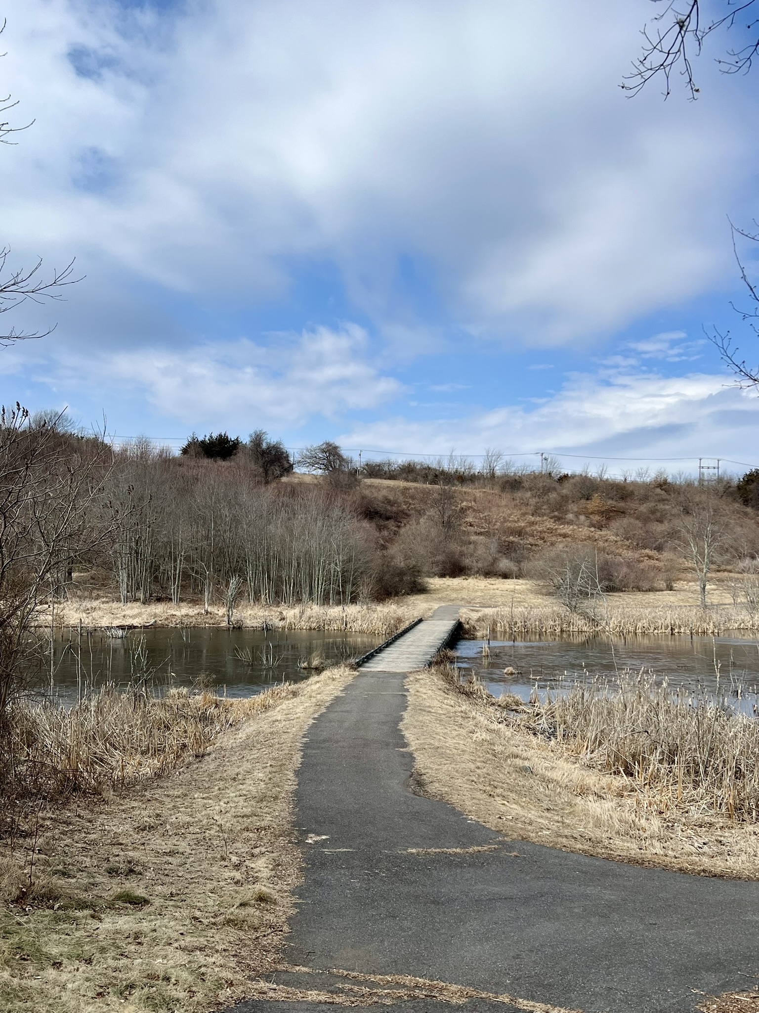
(From left to right: the entrance to the western parcel; footbridge at the head of Taplin Pond; one of 14 signs with corresponding entries in the Trail Guide; Taplin Pond with residual ice)
The following websites have helpful information:
One page flyer of Farmington Walking Trails with a sketch of the Shade Swamp trails
One page flyer regarding the blue trail
Shade Swamp Sanctuary Trail Guide
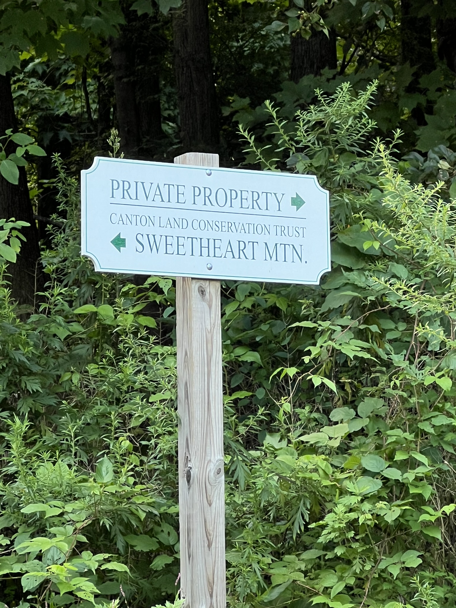
Sweetheart Mountain Preserve, Canton (Collinsville). 2.25 miles with 618’ of ascent.
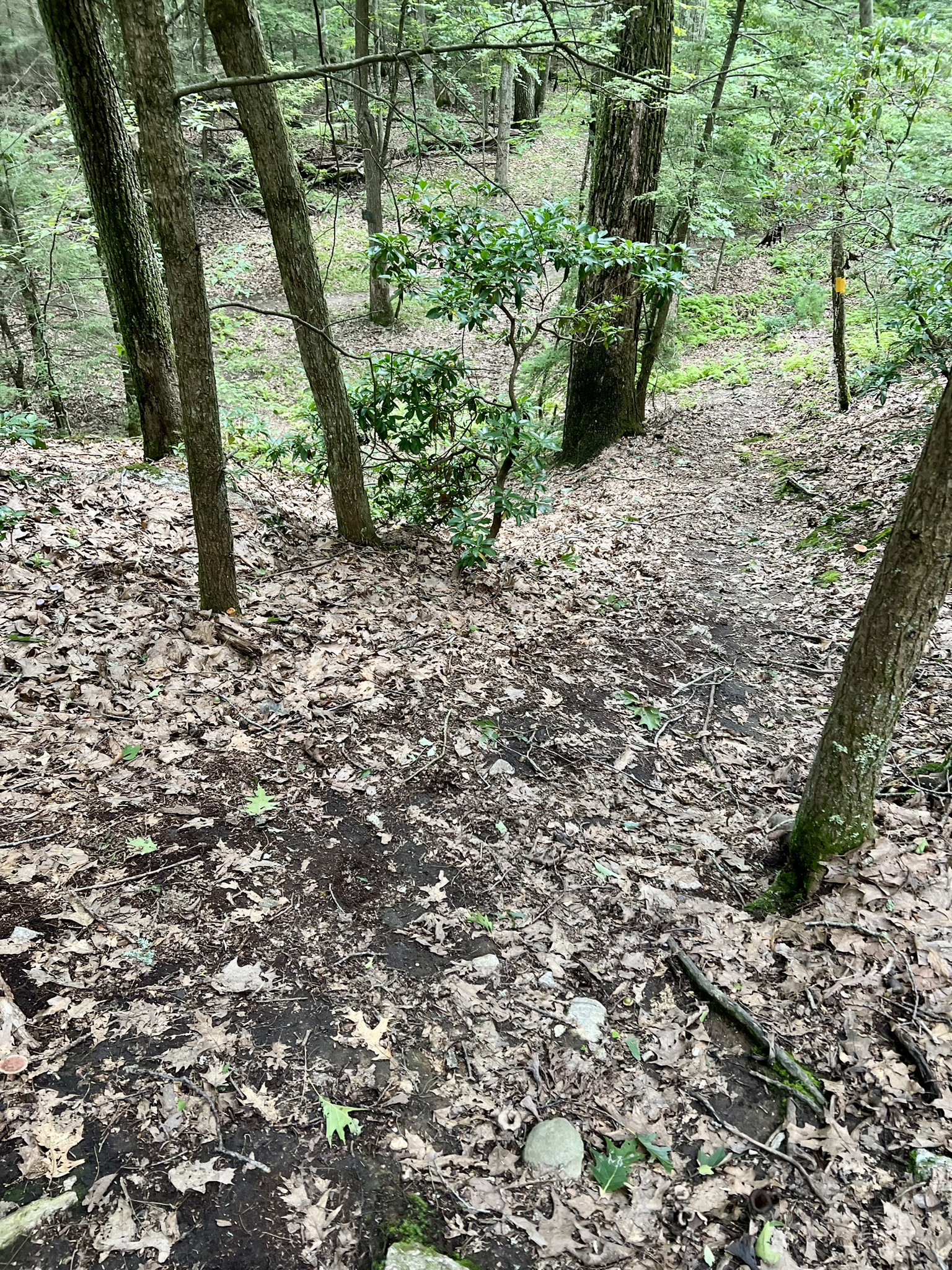
Sweetheart Mountain, now a property of the Canton Land Conservation Trust (CLCT), was a ski area that ran from 1948 to 1975 and was maintained by the Canton Ski Club. This great blog post highlights the history of the ski club, which was the brainchild of a group of skiers shortly after WWII ended. Leasing some land from a local family, they designed a rudimentary tow rope system to bring skiers up the hill and operated everything on a volunteer basis. In the 1960’s the opportunity arose to purchase the land and the Canton Ski Club was formed. Operations expanded, giving local families the chance to ski economically. The combination of an accident in the 1970’s, the resulting difficulty in obtaining reasonable insurance, and the growing popularity of Ski Sundown ultimately forced the closure of the ski operation. This 63-acre preserve offers 2.5 miles of challenging hiking trails where you will encounter some of the old lift equipment. The parking is a lot off of Dunne Avenue (for details see the Trail Map linked below).


(From left to right: the Land Trust sign indicating the parking area; some of the old ski lift equipment; one of many steep sections of trail)
We visited in August of 2024 and did a clockwise loop first on yellow, then red, blue, and blue/white (see Trail Map). The yellow trail is the steepest trail, and where we found most of the old ski lift ruins. Near the highest point we encountered an MDC No Trespassing sign. From reading online comments, I gathered that hikers used to be able to access this area to get to the best high point views, and several were very salty about this change and vowed to keep doing it anyway. I chose not to venture past the sign. On our return to the parking area, we discovered that the section of red trail between the blue and yellow trails has a nice view down to the Farmington River and Collinsville, even with the summer tree cover.
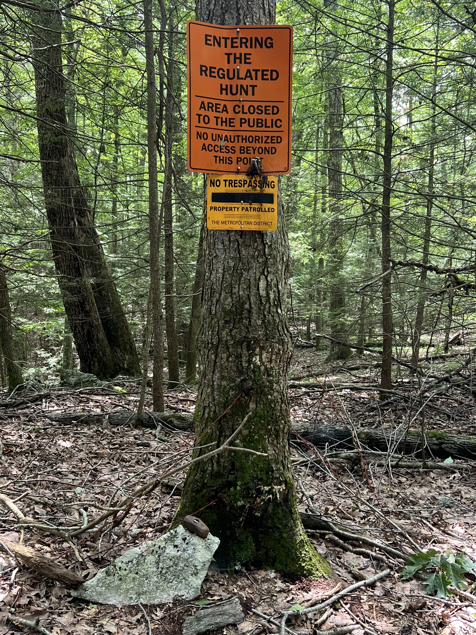
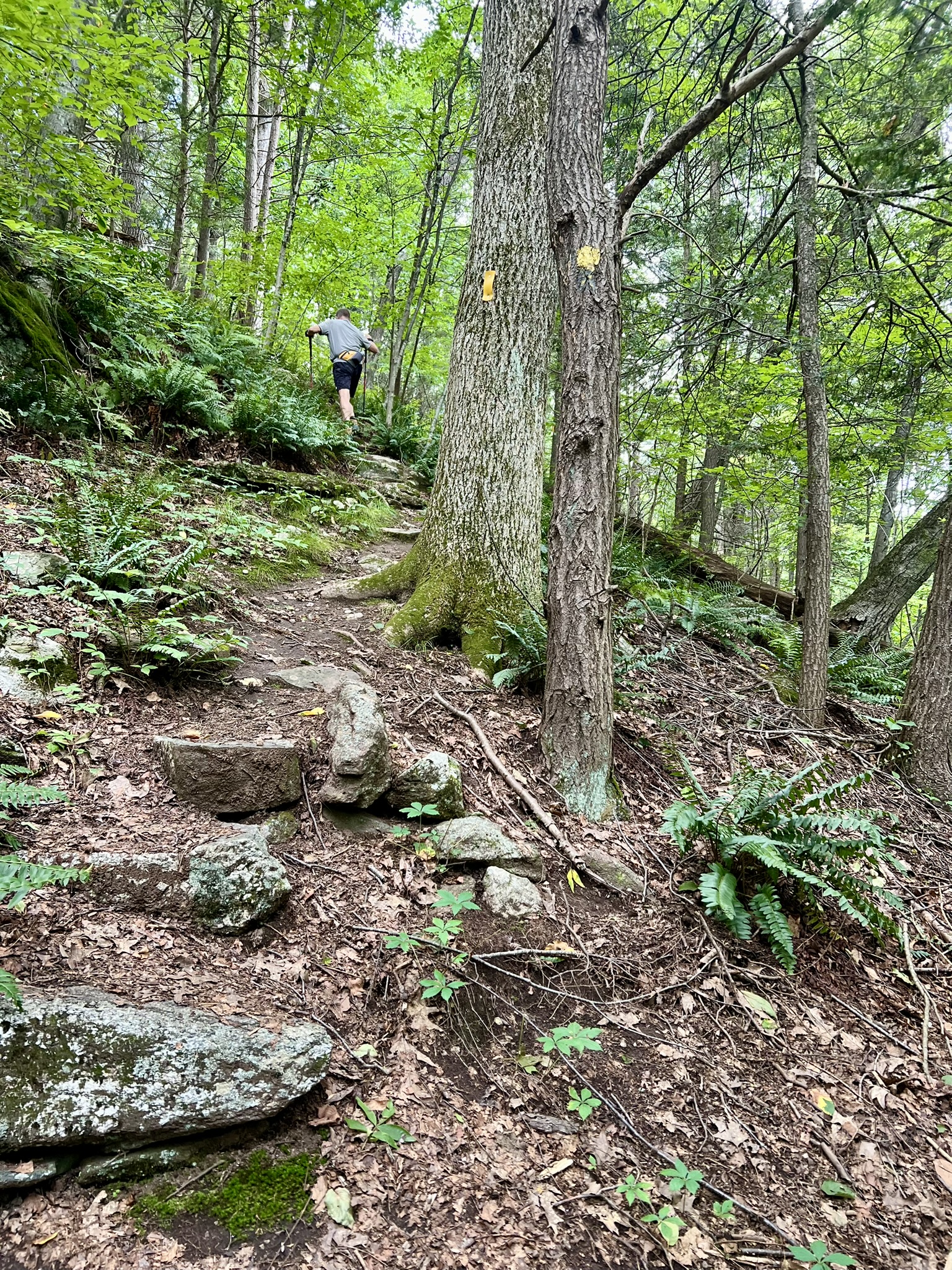

(From left to right: the No Trespassing sign below the high point; views of the steep yellow trail; the view of Collinsville and the Farmington River from the red trail)
Pistol Creek, Berlin and Middletown. 2 to 4 miles.
The Pistol Creek Golf Club in Berlin, CT was a short-lived business venture, a public golf course that opened in September of 2001 and closed just four years later in 2005. The property has been turned into a nature preserve and the Clubhouse can be rented through the town of Berlin. In 2022 the town opened an off-leash dog park on the northern parcel. There are two sections of Pistol Creek, to the north and south of Spruce Brook Road, but the Trail Map only shows the northern parcel, so it is easy to miss the fact that there is a southern parcel. According to this article, Berlin wants to enhance Pistol Creek. I do not know the status of this enhancement plan.
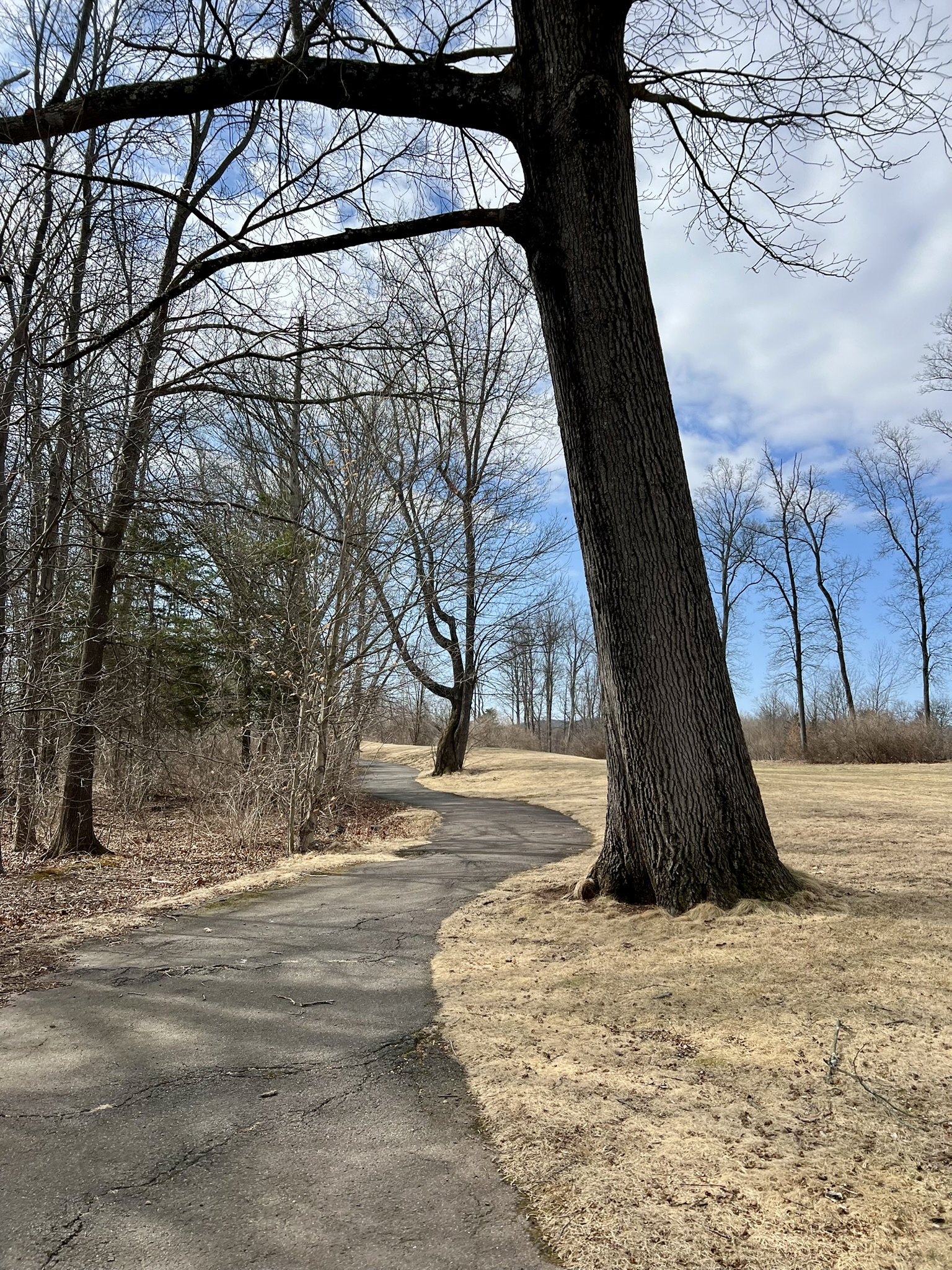
NORTHERN LOOP. I visited on a sunny Sunday in early March after the last of the snow melt. From the parking lot by the Clubhouse, I crossed the street and followed most of the paths going in a counter-clockwise direction for a total of 2 miles with minimal elevation, recording 122’ of ascent. The paved path is in generally good condition and suitable for wheelchair access, although there are a few short sections with some pitch to them and the far western path is starting to show the effects of frost heaves. The path had several small bridges and a few interesting trees, and I imagine it may be a nice place to stroll in spring when things start to flower and more birds are flitting around. I passed many people out walking their dogs.
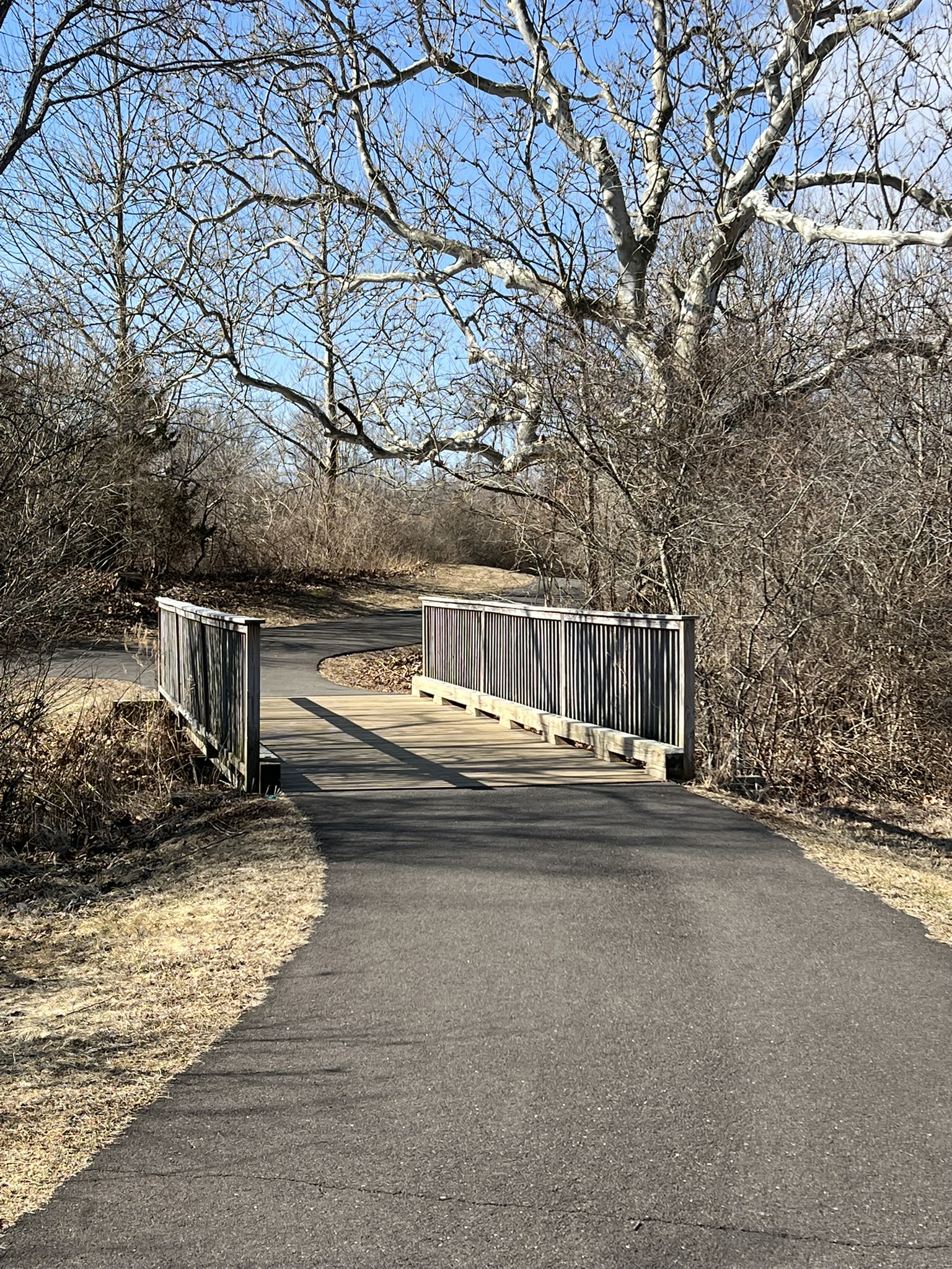
(Bridges and benches along the northern loop. Most of the terrain was flat with a few minimal sloping sections)
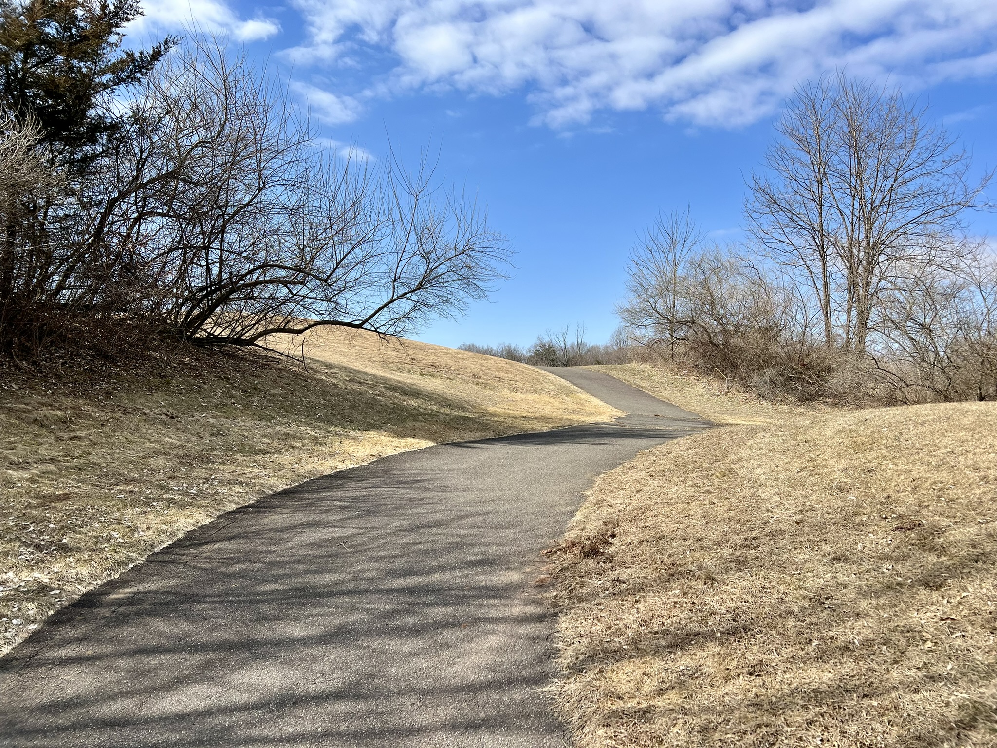
SOUTHERN LOOP. I noticed on AllTrails that there were trails on the southern side of Spruce Brook Road, so after crossing back to the parking lot, I headed east and just before reaching Atkins Street I turned right onto the paved path. This path showed more signs of returning to nature, with grass growing up through asphalt cracks. This path was much steeper, and soon opened up to some beautiful views of the surrounding farm fields and distant hills. The path eventually crossed Atkins Street, which it then paralleled for a short distance before turning right with views down to a scenic marsh. At the next juncture I turned right again, descending and looping around, crossing the marsh along a bridge and then rising again to loop back to the parking lot. There were several loud Canada geese patrolling the pond. I recorded two miles for this loop with 235’ of ascent. This section is much less traveled, and I only passed two other walking groups.

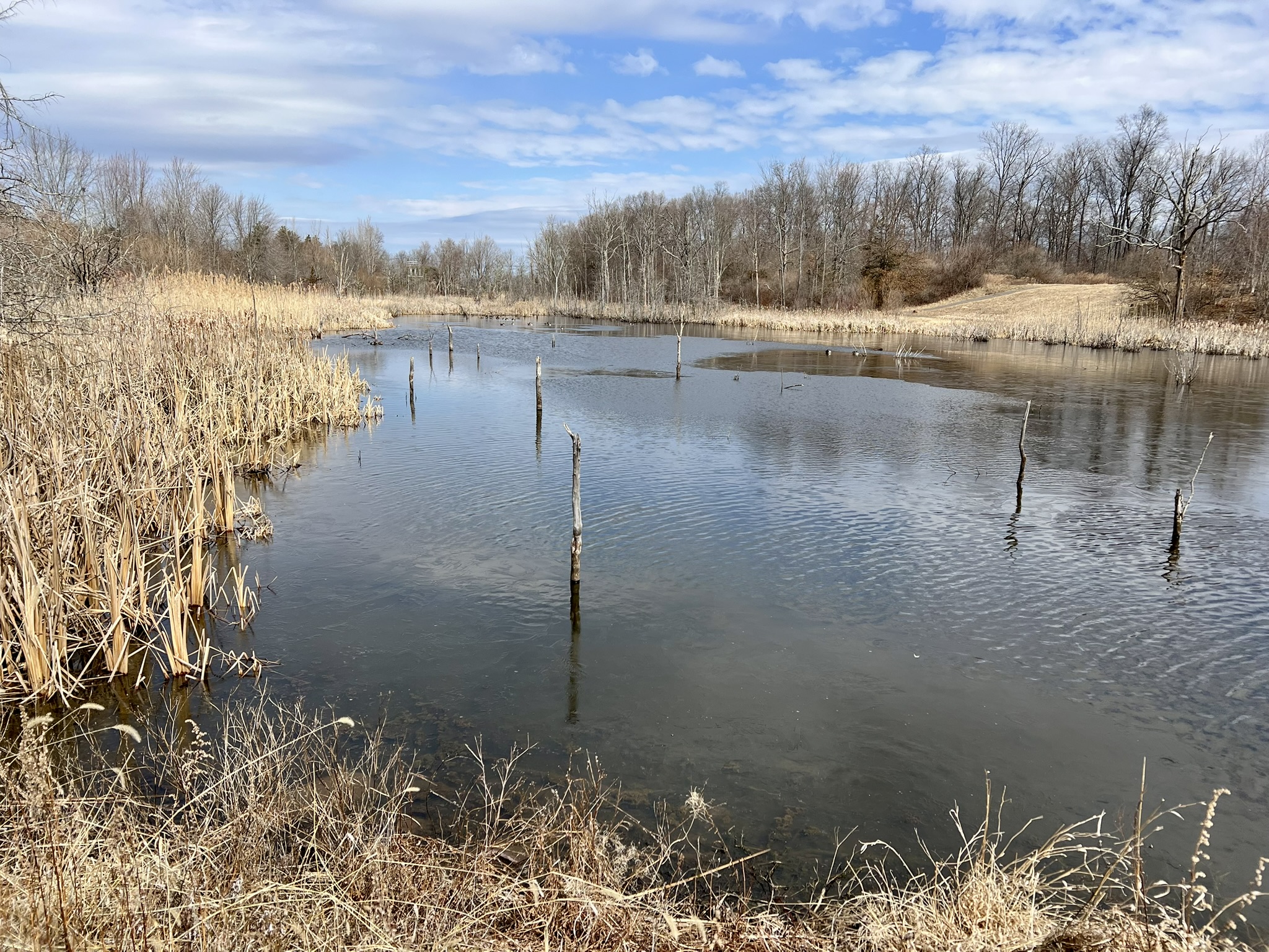
(From left to right: this less used path is much steeper and has excellent views; the footbridge across the marsh; the marsh)
Quarry Park, Rocky Hill. 1.8 to 2.5 miles.
I went to explore Quarry Park on a clear blue sky Friday in mid-March. While not crowded, I encountered several people with the same idea out for a walk, some of them with their dogs. There is a small parking lot on Old Main Street directly across from Marshall Road. The Trail Map (which is also displayed on a sign at the trailhead) and the AllTrails map were helpful. (NOTE: the Trail Map has a different orientation for North.) The trails were blazed and easy to follow. The Rocky Hill Stone Company ran a stone quarry on the property from 1901 to 1957. The brochure accompanying the trail map says that “[f]rom 1925-1944 over a million and a half tons of traprock was sold from the Quarry.” The Rocky Hill Neighborhood Association led a campaign to defeat a 1986 housing proposal for this parcel which resulted in a $1.3M joint State and Town purchase and the subsequent opening of the 84 acre Quarry Park in 1991. From the lot, follow the blue trail as it crosses Matteson Ave and heads steeply uphill before leveling out. Along the way, keep an eye out for a rusting car frame on the right – this is marked on the map as a 1936 Buick which the brochure describes as powering the tow rope for the Wethersfield Ski Hill, which used this area for skiing from 1948-60. After about ¼ mile I came to the Lookout Point and was truly awestruck by the scenic view over the river valley to the hills beyond. There is a contemplation bench where you can sit and ponder the enormity of the quarrying operation on this traprock “rocky hill”. As I continued along the path I encountered another hiker who suggested I try a longer loop, taking in the white trail that goes along the railroad tracks. While I appreciated her advice, I wouldn’t necessarily advise the same. This section of trail looks like it can get quite muddy in wet conditions, and is surrounded by bushes that may get overgrown in the summer months.

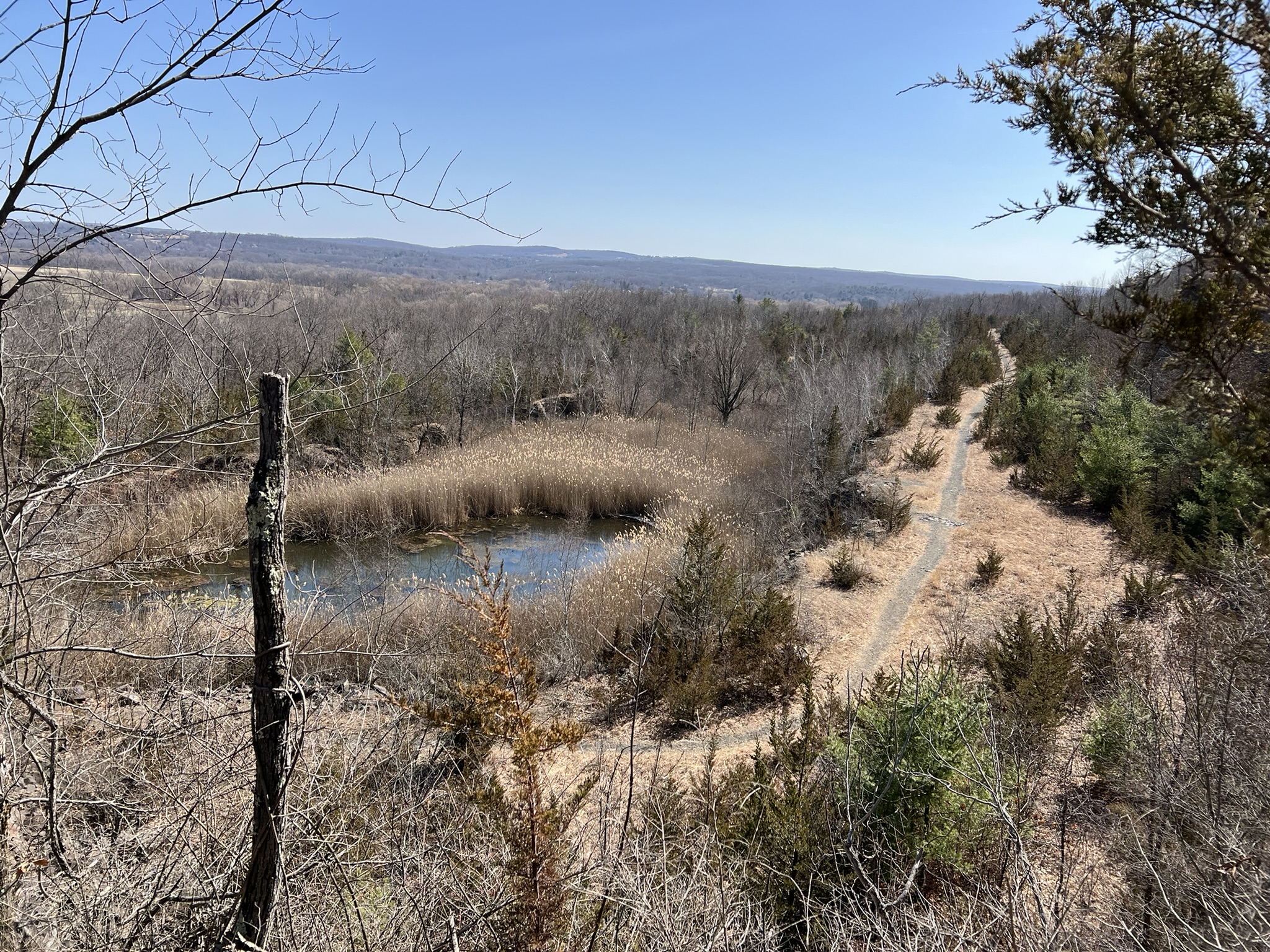
(From left to right: a bench at the scenic viewpoint; the white trail along the tracks; from the viewpoint looking down at the pond and trail)
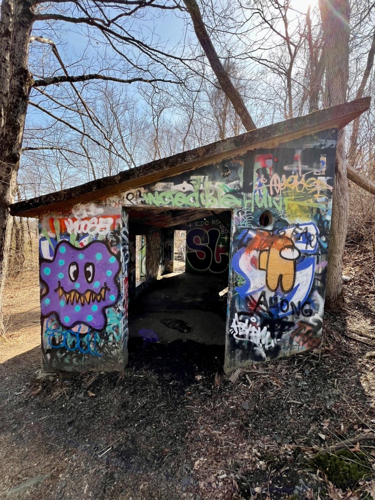
I would suggest staying with the blue trail loop. At the far end (southernmost section) of the blue trail I encountered the remains of the Company buildings, now all covered with colorful graffiti and with a decidedly dystopian feel. Even in broad daylight it felt eerie to wander past these graffiti-strewn ruins. At one point I heard a large critter scurry for cover and I jumped! The Rocky Hill Historical Society page has old photos, historical information about the quarry and additional links. One of those links is to an illustrated map with history tidbits described as a Boy Scout Map which I found very interesting.
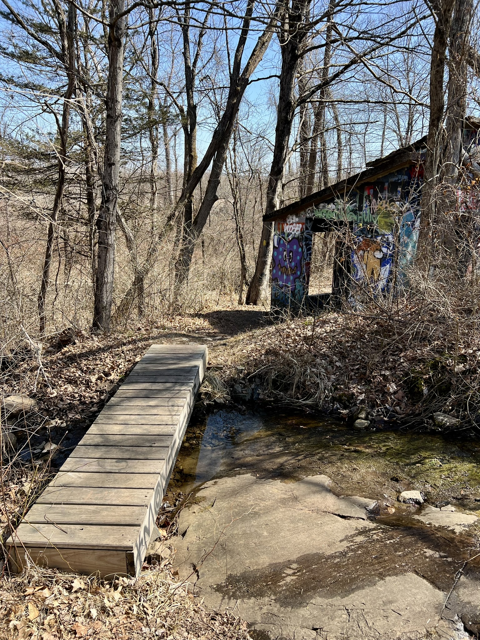


(Clockwise from left: this footbridge leads to the Rocky Hill Stone Company remains; some of the structures that still stand; the trail back; this rock outcropping is most likely the “knoll” designated on the Trail Map)
Subscribe to Trail Talk
your next adventure awaits
Questions? Email me at naturenerdsramble@gmail.com or find me on Instagram @the_real_nature_renee.